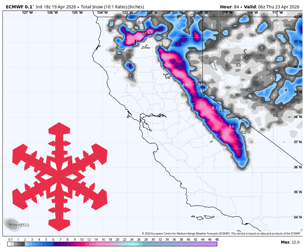
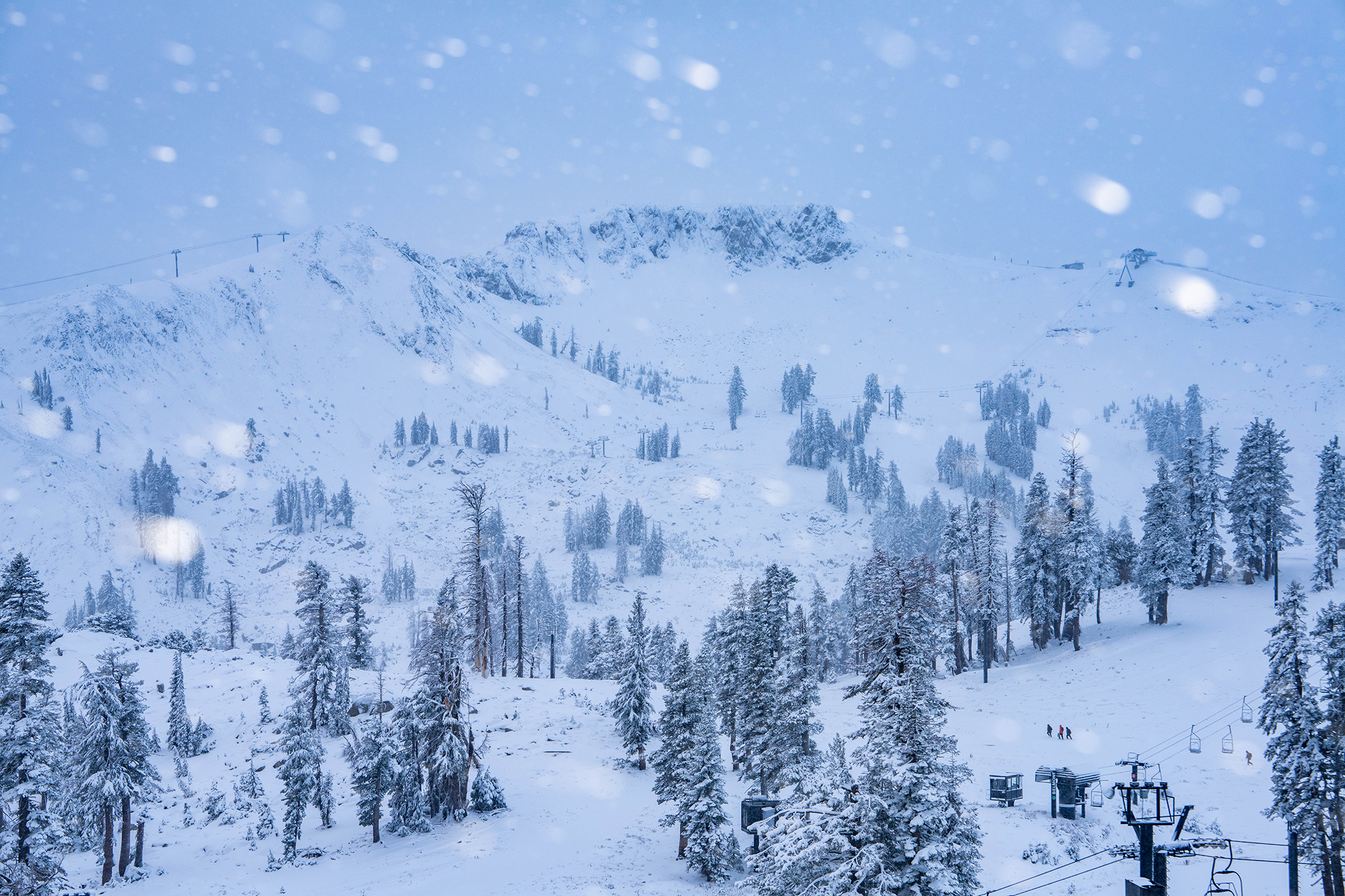
#upslope-snow
#upslope-snow
[ follow ]
#weather #snowfall #skiing #sierra-nevada #weather-forecast #california #snow #storm #spring-skiing #snow-levels


fromSnowBrains
5 hours agoSnowBrains Forecast: Light High-Elevation Snow for South America Through Tuesday - SnowBrains
The ongoing Sunday night into Monday storm across the central Andes keeps producing mainly upper-mountain snow through Monday before tapering out by Tuesday morning, April 21. A realistic near-term outcome is about 16-20 cm at Las Leñas, 9-11 cm at Valle Nevado, and lighter 5-8 cm amounts around El Colorado, La Parva, and Portillo.
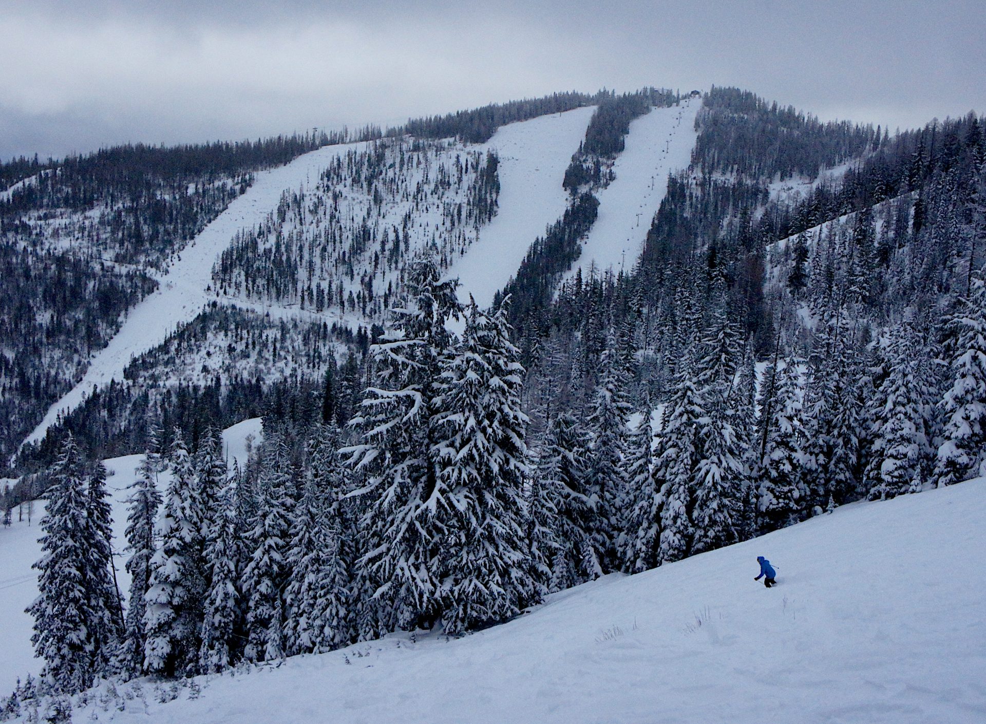
Snowboarding


Skiing
fromABC7 San Francisco
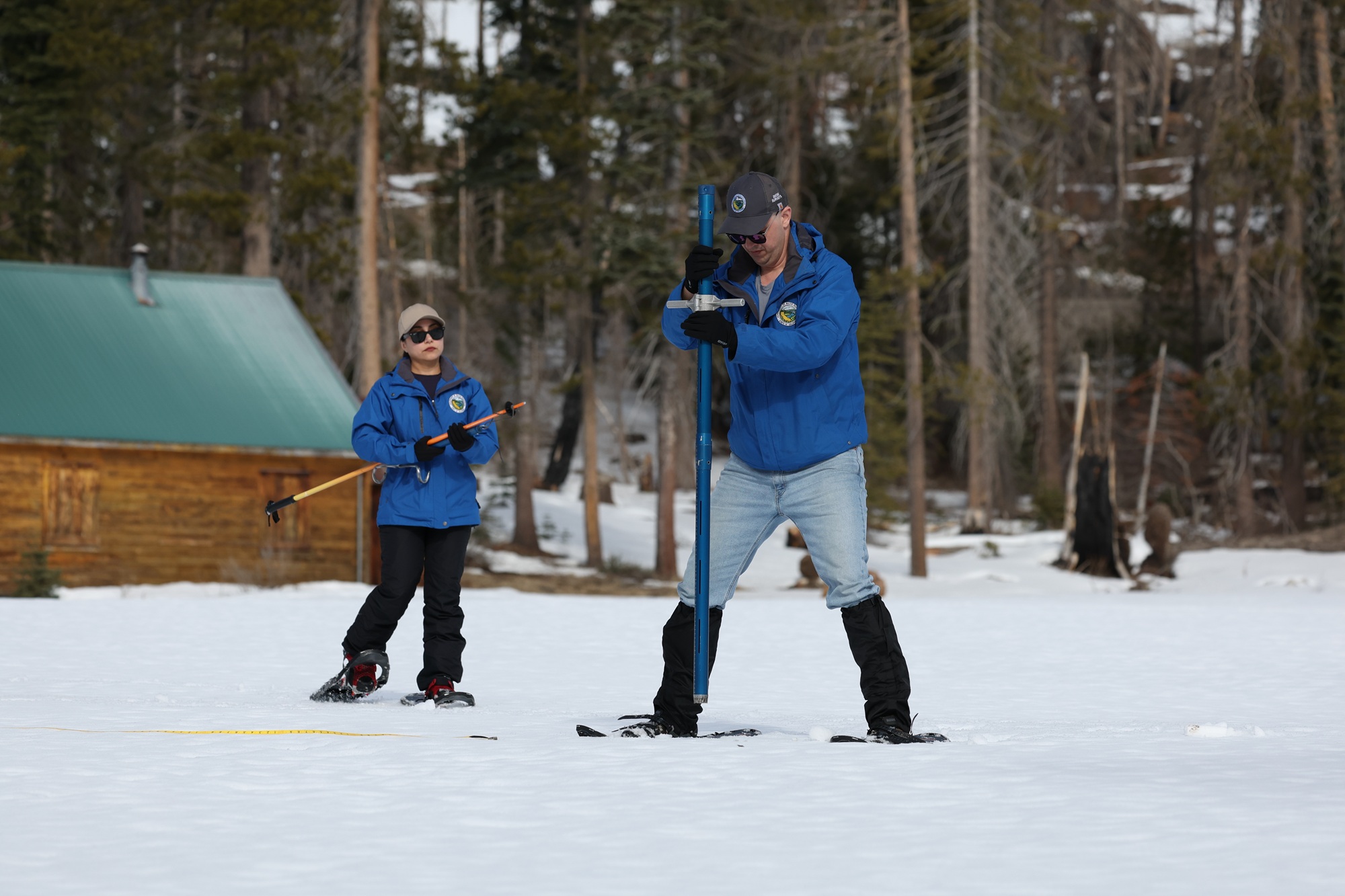
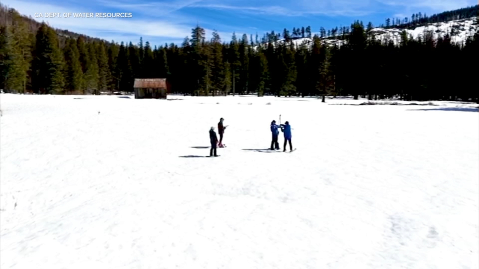
1 month agoShortening ski season: Sierra Nevada snowpack melting at 1% per day, officials say
A heat wave is rapidly melting Lake Tahoe's already-depleted snowpack at 1% daily, threatening to create the second-lowest April 1st measurement in history, with cascading impacts on water supply, wildfire risk, drought conditions, and ski season viability.
fromSnowBrains
4 days agoSnowBrains Forecast: Light BC Snow, 10-20 Centimeters in Alberta Through Friday for BC/Alberta - SnowBrains
The ongoing storm is expected to add 13-16 cm at Banff Sunshine and around 4-5 cm at Lake Louise by Friday morning, with the deepest moisture focused on Alberta.
Snowboarding

fromSnowBrains
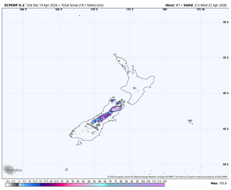
3 days agoSnowBrains Forecast: 1 Meter Plus for New Zealand's South Island Through Thursday - SnowBrains
From Sunday afternoon through Tuesday night, the guidance lines up on a prolonged South Island storm cycle. Timing confidence is good, with snow pushing in Sunday afternoon and ramping hard Sunday night.
Snowboarding

fromSnowBrains
6 days agoSnowBrains Forecast: 10-20 Inches for the PNW Through Thursday - SnowBrains
The storm cycle will bring 8-17 inches of new snow to most open resorts in the PNW, with snow quality starting dense to moderate on Tuesday and improving as colder air arrives on Wednesday.
Snowboarding


fromSFGATE
1 month agoThe surprising element that's boosting California's stubbornly low snowpack
SWE is the most important metric for all of our water resources. It's the metric that we deal with the most and the one that the entirety of the snow research and operations community is working to get right. So, seeing an increase in SWE like that, even if it's from mid-winter rain, is a great thing because that means we have more water stored in the snowpack moving forward.
California
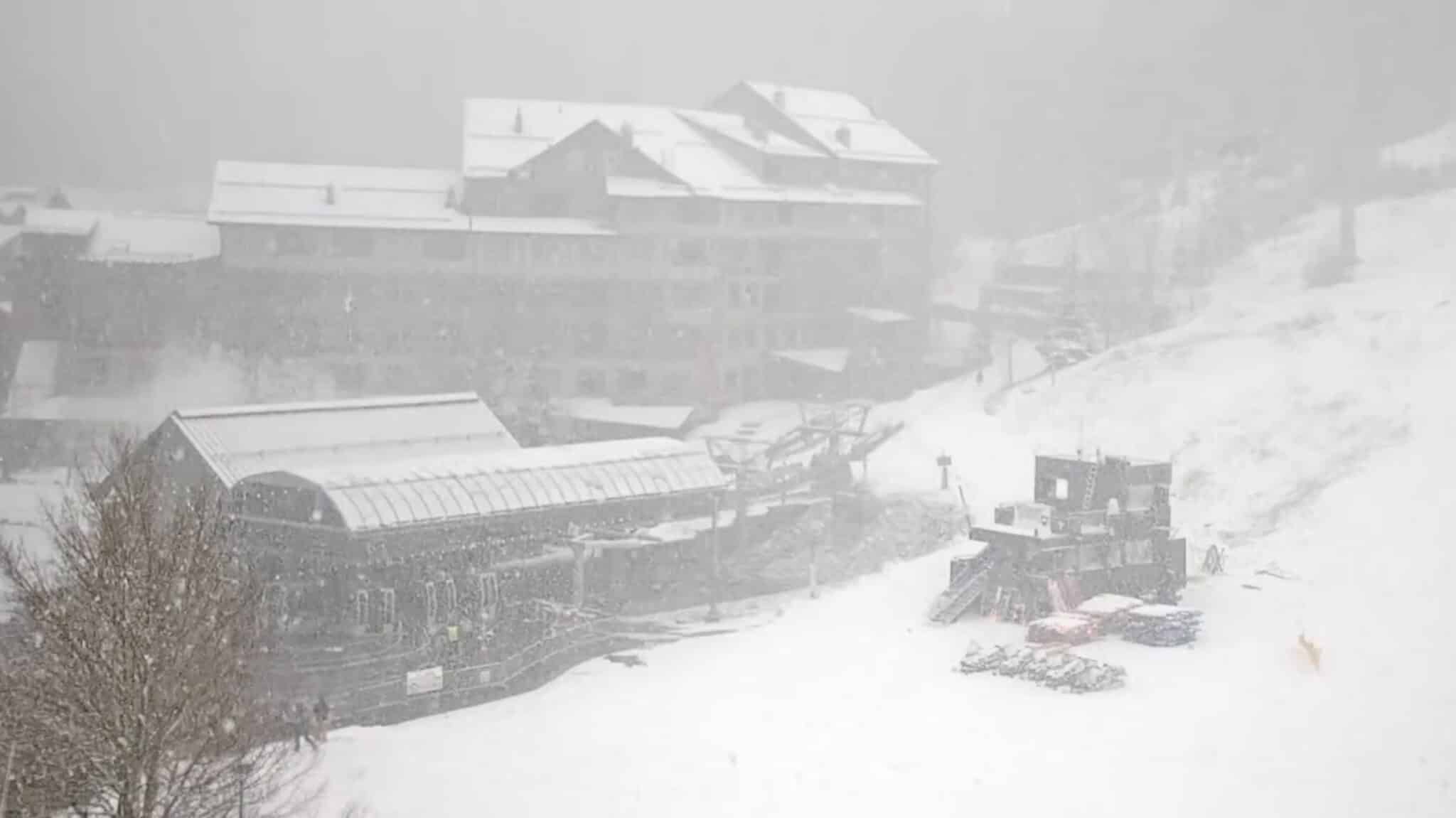
fromSnowBrains
2 weeks agoLate Season Storm Brings Welcome Conditions Refresh to Mt. Rose Ski Tahoe, NV - SnowBrains
"We're always glad to welcome winter back, and this latest round of snow has ensured there are still great turns to be had as our spring season continues. Late season powder days are a bonus, and with the spring events and deals we have planned, it's not too late to get up here for some great skiing and riding!" - Mike Pierce, Marketing Director, Mt. Rose Ski Tahoe
Snowboarding


California
fromLos Angeles Times
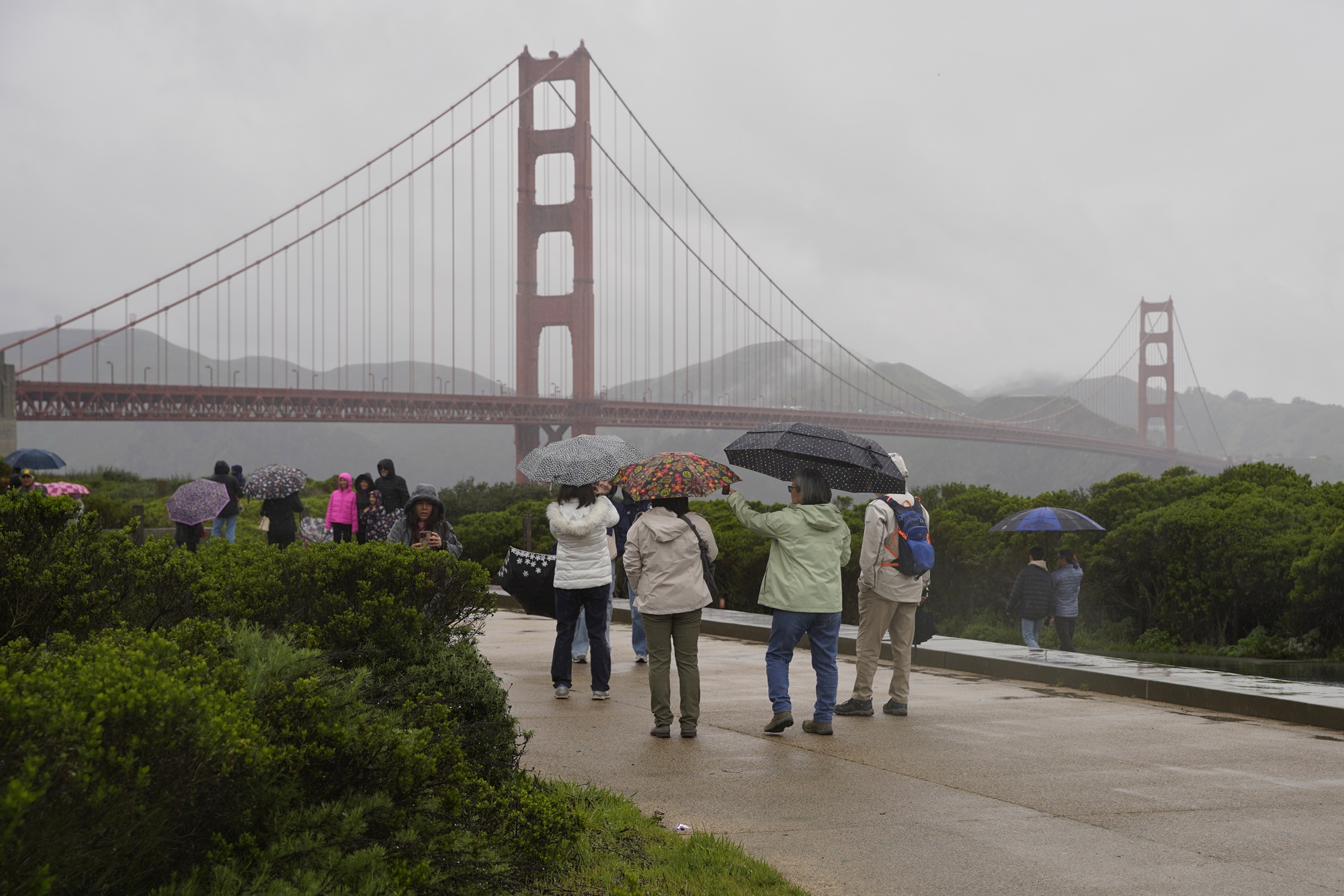
2 months agoFirst wave of nearly a week of rain hits Southern California. Snow expected for Mammoth, Tahoe
Southern California experienced heavy rains with flood watches, wind advisories, burn-scar evacuation warnings, and forecasts of significant rainfall and mountain snow this week.
California
fromThe Mercury News
1 month agoSierra Nevada snowpack just 68% of normal after whiplash winter, but water supplies are OK, experts say
California's winter weather has been extremely volatile, with alternating dry and snowy periods leaving the Sierra snowpack at 68% of historical average despite previous wet years filling reservoirs above normal levels.
Snowboarding
fromSnowBrains
1 month agoSnowBrains Forecast: Springlike, Mostly Dry Pattern for Colorado Through Sunday - SnowBrains
Colorado ski resorts face warm, dry spring conditions through Sunday with afternoon temperatures in the upper 40s to 60s, minimal snowfall, and periodic ridge winds of 25-40 mph.
fromKqed
2 months agoHere's When Rain and Snow Will Hit the Bay Area and Tahoe This Week | KQED
This week's storm pummeling the Bay Area has already unleashed pouring rain, more than 500 lightning strikes, snowy peaks and reports of hail. And more is on the way - rain will fall all week on the coastal region, with frigid temperatures in the North and South Bay Area, and plenty of snow in the Sierra Nevada by the end of the week.
California
Snowboarding
fromSnowBrains
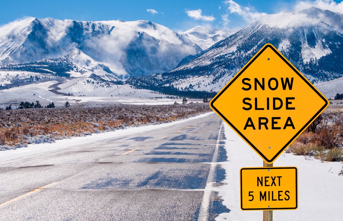
1 month agoThe Western U.S. Could See A Rare Wet Slab Avalanche Cycle Next Weekend - SnowBrains
A historic heat wave with temperatures 20-30 degrees above average could trigger rare wet slab avalanches in Colorado and Utah by introducing liquid water to weak layers in the snowpack.
Snowboarding
fromSnowBrains
1 month agoSnowBrains Forecast: Mostly Dry, Springlike Stretch for the California Sierra - SnowBrains
California Sierra will experience dry, springlike conditions with no new snow through mid-March, featuring above-normal temperatures and firm mornings transitioning to softer afternoons.
Snowboarding
fromSnowBrains
1 month agoSnowBrains Forecast: A Dusting for the California Sierra Midweek, Then Dry and Warmer - SnowBrains
A weak midweek system brings light snow to California Sierra Wednesday-Thursday, followed by dry, warming conditions through the weekend with periodic ridge winds affecting exposed terrain.
fromSnowBrains
2 months agoSnowBrains Forecast: Massive 8 Foot Storm Cycle Brewing for California Next Week - SnowBrains
Sun night (02/15) through Tue night (02/17) is the core punch, and many Sierra mountains can stack 20″-50″ in that window as snow levels crash. Expect a lighter start Sunday night, then snowfall rates ramp up hard Monday night into Tuesday with widespread coverage across Tahoe, the central Sierra, and down into Mammoth. Snow levels begin around 5,000 to 5,500 feet early, then fall into the 1,500 to 2,500-foot range by Tuesday and Tuesday night, which helps keep even lower terrain in play for all-snow.
Snowboarding
fromSnowBrains
2 months agoSnowBrains Forecast: Massive Storm Will Drop 100+ Inches on California This Week - SnowBrains
Two waves drive the bulk of the snow, with a relatively higher snow level and denser snow early, followed by a colder surge that improves powder quality and brings the strongest winds. Expect long stretches of snowfall for the Sierra with only brief lulls, plus periods of wind-driven, low-visibility skiing on upper mountain. Southern California gets meaningful mountain snow as well, but snow levels are a bigger deal there and the best accumulation favors higher terrain.
Snowboarding
fromSnowBrains
1 month agoSnowBrains Forecast: Two More Feet for California This Week With Another Storm Brewing for Next Week - SnowBrains
Confidence is highest through Saturday because the individual models agree well on the timing of the Thursday storm and the following break. Southern California's mountains pick up a quick shot of snow on Thursday with strong winds, then dry out into the weekend. Beyond the weekend, the signal stays active, but model spread grows fast on storm timing, snow levels, and wind impacts, so expect meaningful swings from run to run.
Snowboarding


Snowboarding
fromSnowBrains
1 month agoSnowBrains Forecast: Wet Early Snow Then Variable Conditions for Colorado - SnowBrains
Mountain snowfall peaks through Thursday with heavy wet snow and strong winds, followed by uncertain lighter accumulations and a return to warmer, quieter conditions by the weekend.

fromSnowBrains
2 months agoSnowBrains Forecast: Snow Finally Returns to Colorado With 1 Foot This Week - SnowBrains
The midweek stretch looks like the most reliable window for fresh turns, with the steadiest snow lining up Wednesday night into Thursday and lighter add-ons into Friday. Snow levels run a little high early, then step down late week, so snow quality should improve as the storm cycle matures. Some areas could see the next wave begin as early as Sun night (02/15), but confidence drops quickly with lead time and placement.
Snowboarding
Snowboarding
fromSnowBrains
2 months agoSnowBrains Forecast: 18 Inches for California This Week Ahead of a Massive Storm Cycle Next Week - SnowBrains
Two Sierra storms will bring a midweek reload with 5–17 inches in most Tahoe/central Sierra resorts and a colder, more impactful Valentine's Day weekend storm.
fromUnofficial Networks
2 months agoThe Next Week Is Looking Sad For North American Snowfall
Many of us are riding the high of the recent major snowstorm wondering when the next big powder day will swing through. Unfortunately for most of North America, it looks like the snowy weather won't be returning anytime soon, or at least not for the next week. Meteorologist Chris Tomer 's Mountain Weather Update paints a rather sad picture for snowfall totals in North America between January 29th and February 5th.
Snowboarding
Snowboarding
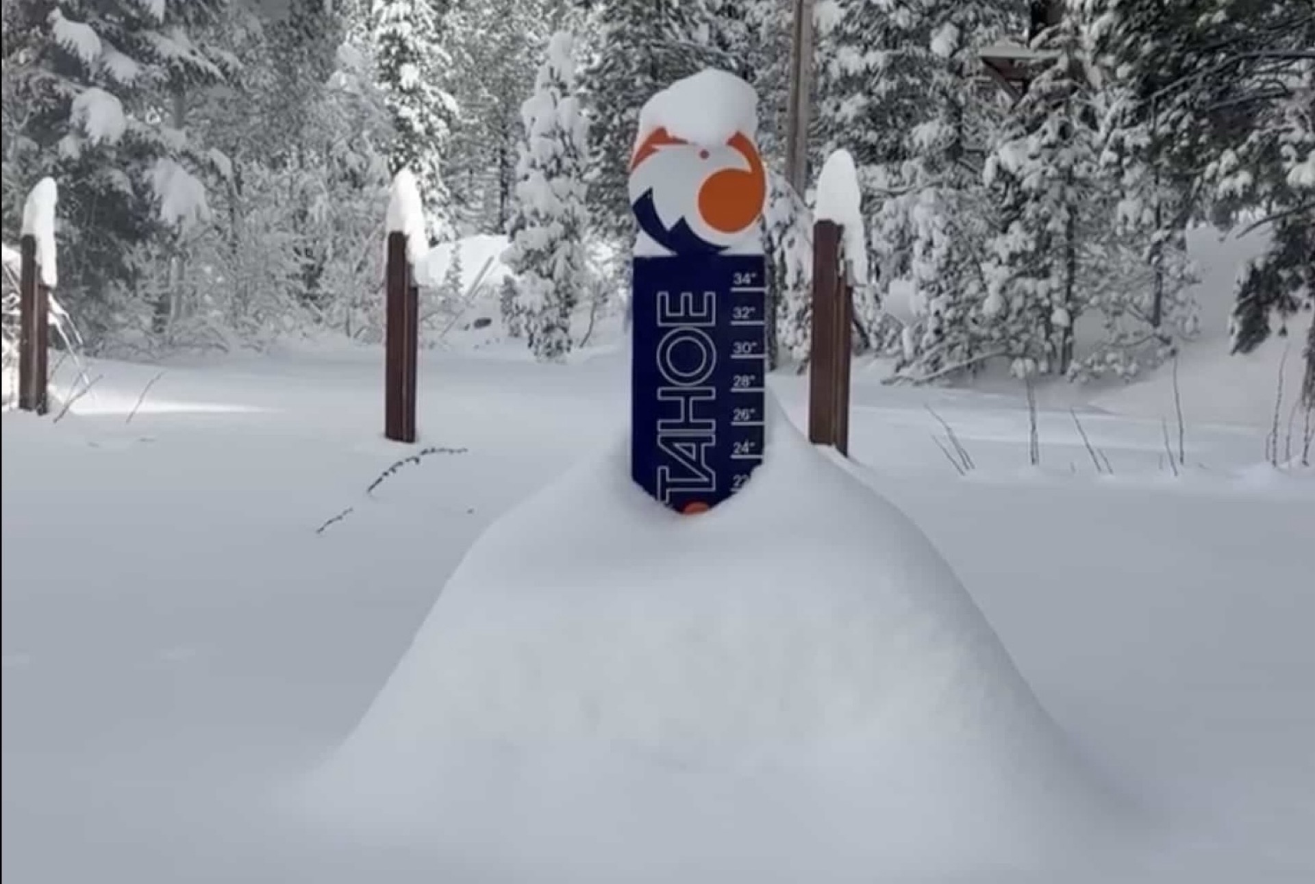
fromSnowBrains
1 month agoMassive Tahoe Storm Pushes Snowpack From 60% to 98% of Average After 8 Feet Falls at Palisades Tahoe, CA, This Week - SnowBrains
A powerful February storm cycle dumped heavy snow across the Tahoe region, boosting the Sierra Nevada seasonal snowpack from 60% to 98% of average.
[ Load more ]