Snowboarding
fromSnowBrains
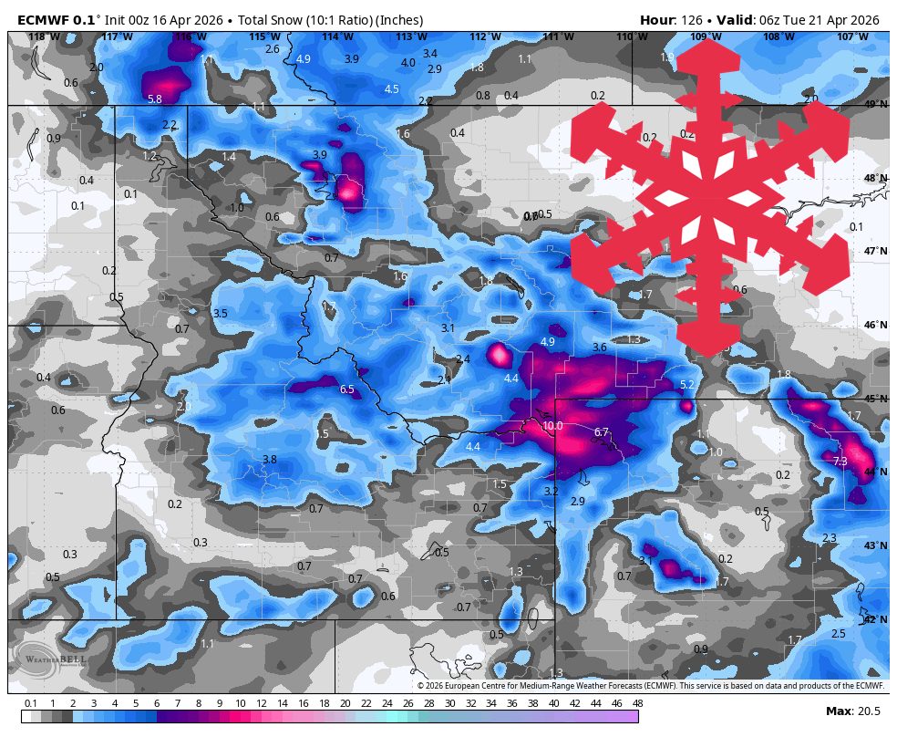
5 days agoSnowBrains Forecast: Weekend Trough Brings Up to 1 Foot for the Northern Rockies (MT/WY/ID)
A colder weekend trough brings the best mountain snow to southwest Montana, with strongest totals at Big Sky and Bridger Bowl and lighter snow elsewhere.