#snowfall-forecast
#snowfall-forecast
[ follow ]
#noreaster #opensnow #ski-resorts #winter-storm #new-york-city #skiing #blizzard-warning #powder-conditions


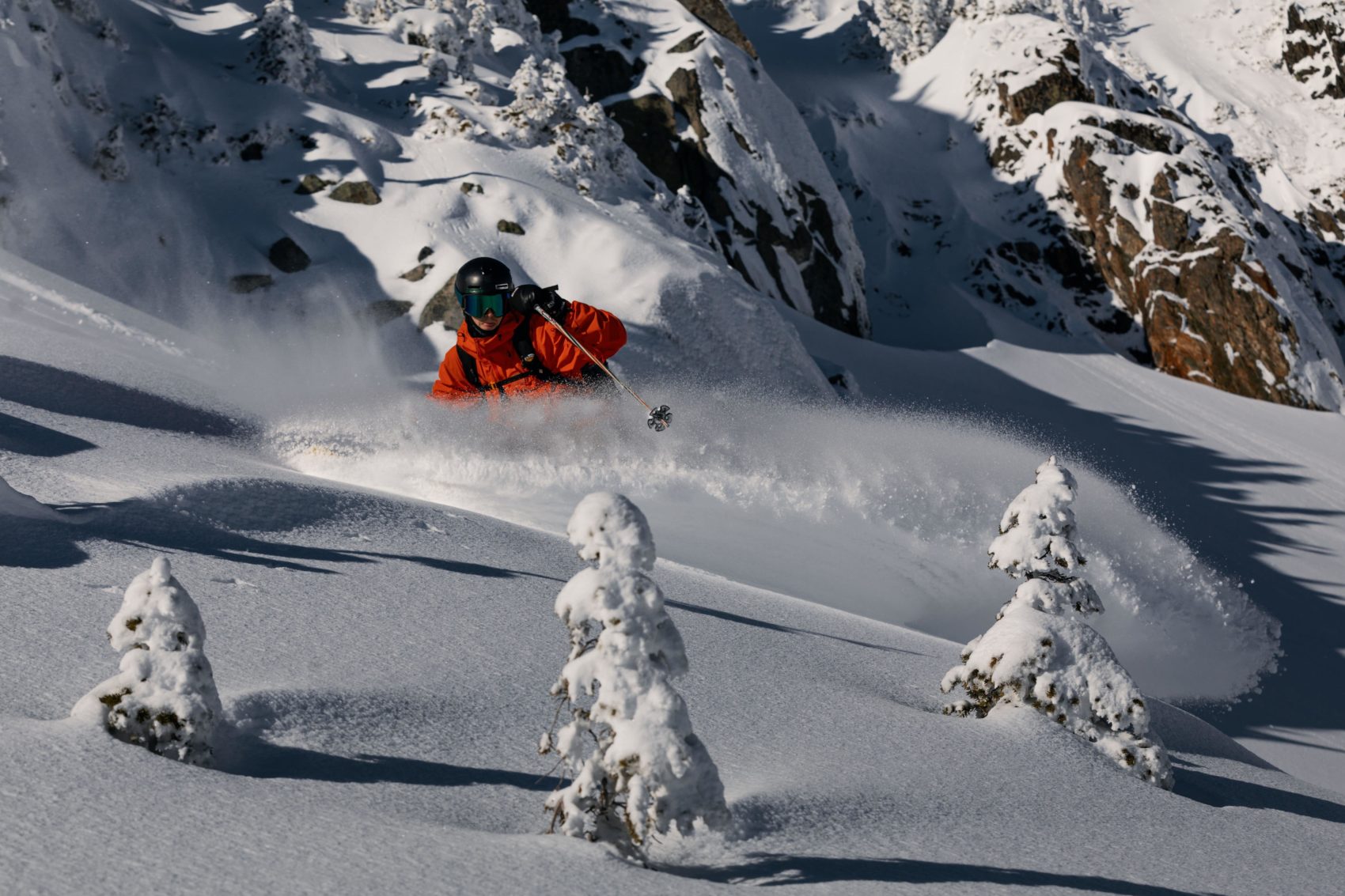
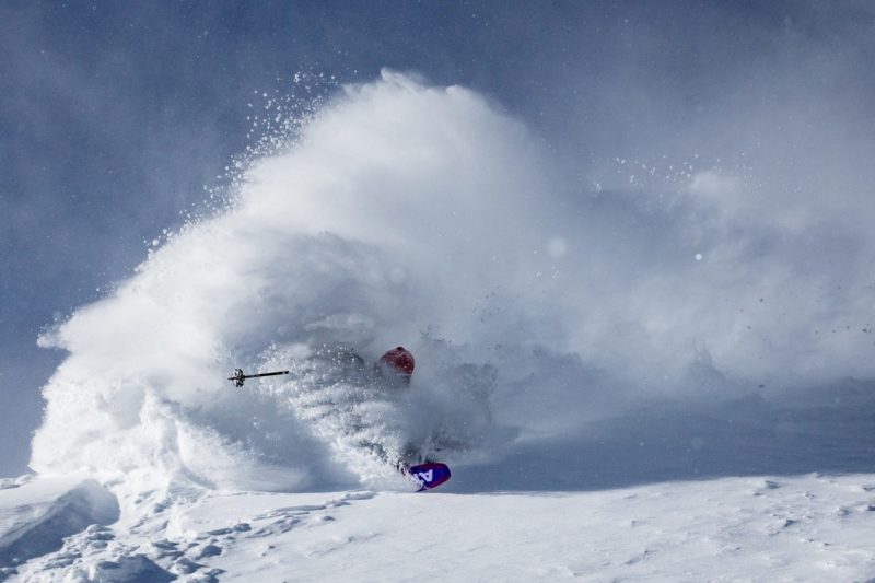
Snowboarding
fromSnowBrains
2 months agoSnowBrains Forecast: 1-2 Feet for Southwest Montana and the Tetons Through Saturday in the Northern Rockies - SnowBrains
Southwest Montana and the Tetons receive 10-17 inches of snow Thursday-Friday, followed by milder weekend conditions and another storm threat early next week.
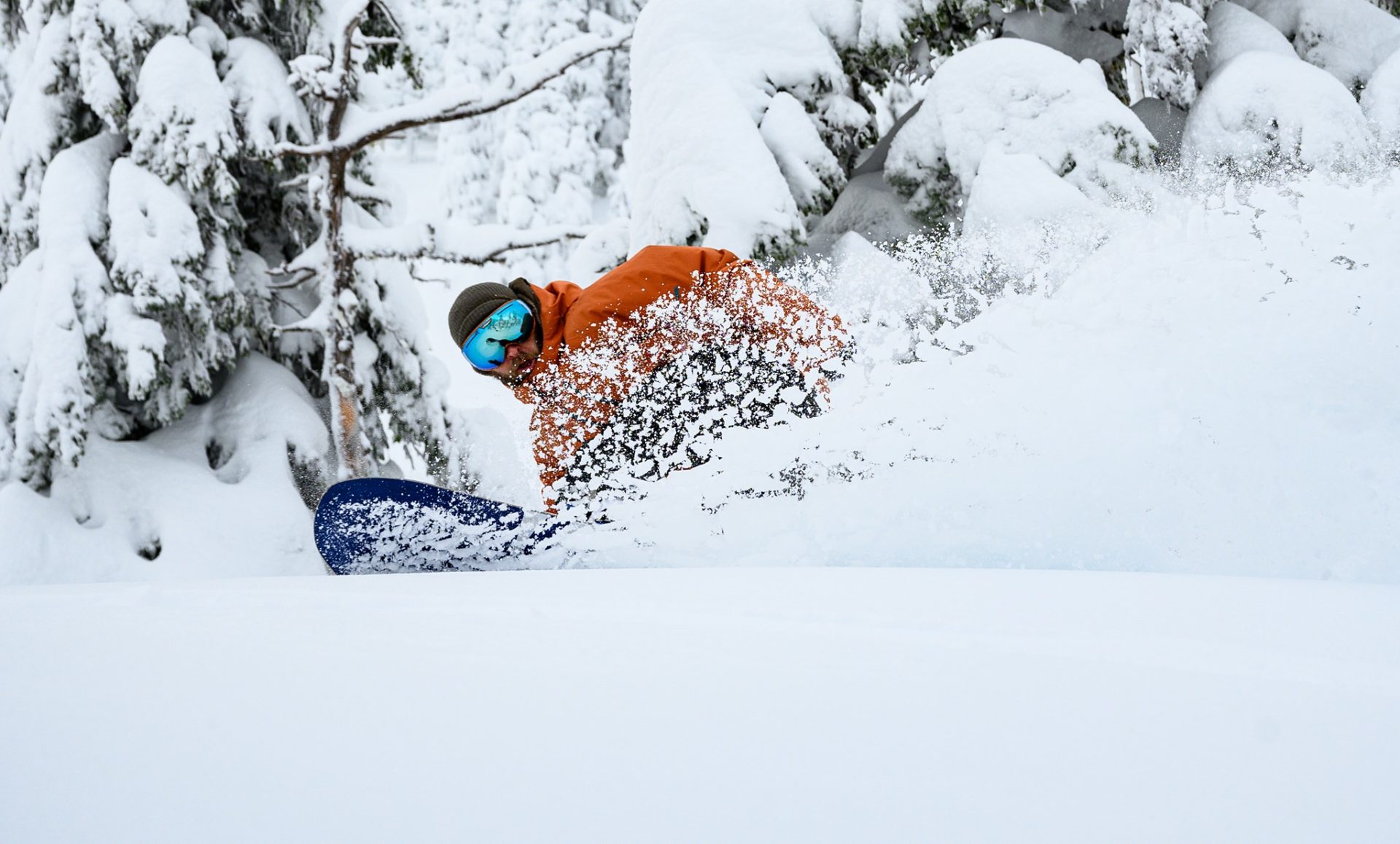
Snowboarding
fromSnowBrains
2 months agoSnowBrains Forecast: Up to 1 Foot for Colorado Through Saturday - SnowBrains
Colorado mountains receive two ski-relevant snowfall events through Saturday: light-to-moderate snow today with 1-6 inches, then a stronger, colder round Friday into Saturday with 6-11 inches in north-central terrain and 1-5 inches in southern areas.
Snowboarding
fromSnowBrains
2 months agoSnowBrains Forecast: Up to 20" in the Northern Rockies Through Friday, Then a Lower-Confidence Weekend Split - SnowBrains
Northern Rockies will see a warm-to-cool storm cycle Monday night through Friday, producing 8–20″ snow at favored central Idaho, Tetons, and Canadian Rockies resorts.


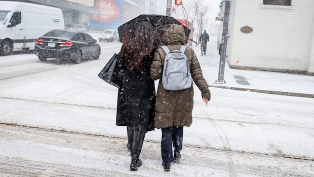
fromTime Out New York
2 months agoAnother snowstorm may hit NYC this weekend-here's what to know
Meteorologists say a powerful coastal system fueled by a so-called "bomb cyclone" could move toward the Northeast this weekend, bringing anything from a light dusting to a full-on sequel to January's snow chaos . The system is expected to travel across the country before strengthening off the Carolina coast on Sunday, potentially delivering snow and gusty winds to the tri-state area into Monday.
Environment
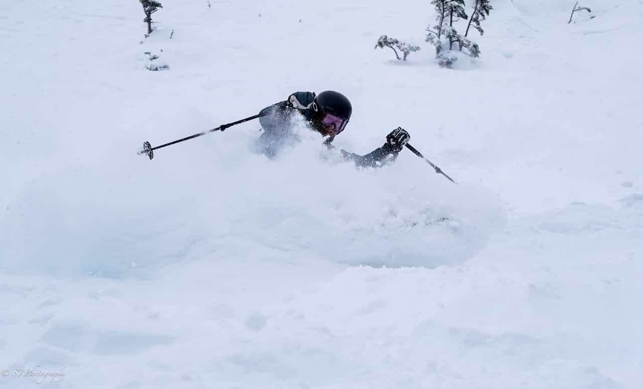
Snowboarding
fromSnowBrains
3 months agoSnowBrains Forecast: Stormy Pattern Will Bring a Foot of Snow to Stowe, VT - SnowBrains
Light-to-moderate snow continues through Thursday, with minor refreshes Friday–Saturday and Monday–Tuesday, then milder, more uncertain mid-to-late week and variable snow quality.


[ Load more ]