#winter-storm
#winter-storm
[ follow ]
#avalanche #sierra-nevada #power-outages #travel-disruptions #new-york-city #snowfall #flight-cancellations
#severe-weather
US news
fromwww.theguardian.com
1 month agoHalf a million lose power as storm lashes US from midwest to east coast
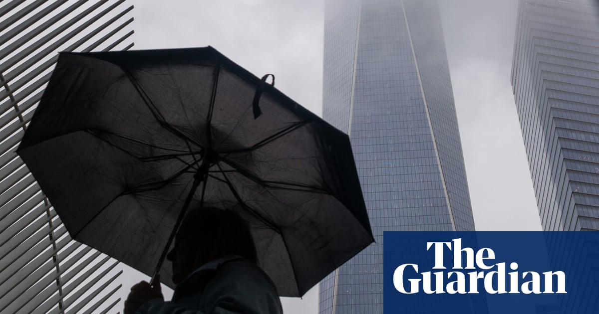
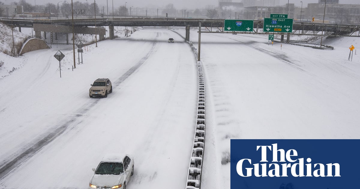
A powerful storm system brought snow, strong winds, and cold temperatures across the midwest and east coast, leaving approximately 500,000 homes and businesses without power on Tuesday morning.
Canada news
fromwww.theguardian.com
1 month agoWeather tracker: heavy snowfall and freezing rain sweep across US and Canada
A major winter storm is sweeping northeastern US and southeastern Canada, bringing heavy snow, freezing rain, strong winds, and a dangerous polar air mass with temperatures 10-25°C below seasonal average.
US news
fromwww.theguardian.com
1 month agoTriple-threat megastorm' to scatter snow, high winds and thunder across US
A major March megastorm will impact nearly 200 million Americans with severe snow, damaging winds, tornadoes, and flooding, ranking among the most impactful US weather events of the year.
US news
fromwww.theguardian.com
1 month agoThousands of flights canceled as winter storm marches across US
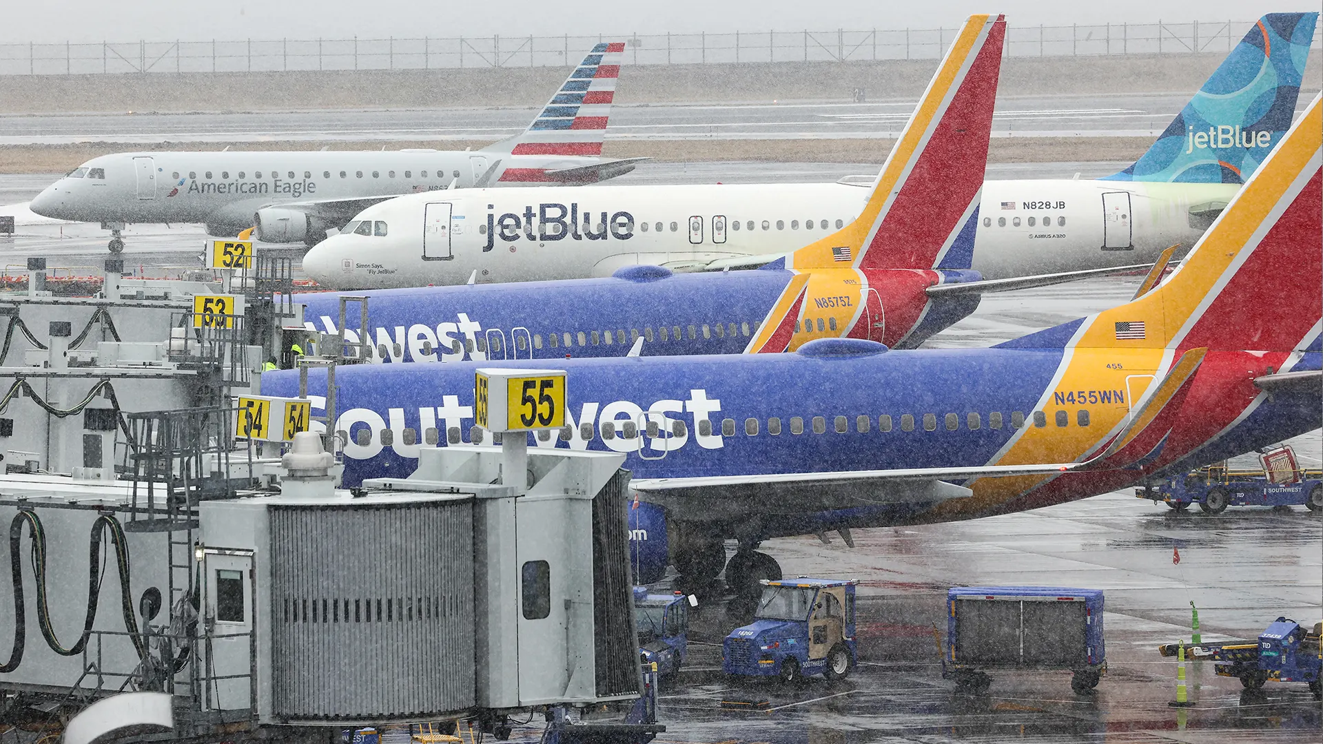
A late winter storm across the eastern US caused thousands of flight cancellations and delays, affecting over 200 million people with severe weather ranging from blizzards to tornadoes and record heat.
Snowboarding
fromSnowBrains
1 month agoSnowBrains Forecast: Windy Friday, Then Up to 3 Feet in the Midwest by Tuesday - SnowBrains
A major Saturday night through Monday storm will bring 15-34 inches of snow across the Midwest and northern Lower Michigan ski areas, with Friday's clipper providing 3-7 inches of wind-worked snow before conditions improve midweek.
NYC politics
fromBusiness Insider
1 month agoWould you shovel snow after a historic blizzard for $30 an hour? These 3 New Yorkers did
New York City mobilized residents as emergency snow shovelers during a historic blizzard, offering $30 hourly pay and fostering community engagement beyond financial incentive.
Snowboarding
fromSnowBrains
1 month agoSnowBrains Forecast: Quiet Start Then Up to 2 Feet in the Northern Rockies Through Friday - SnowBrains
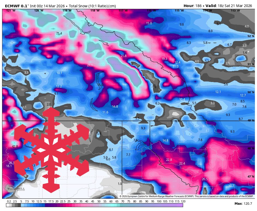
Northern Rockies will experience a productive midweek snow cycle with best accumulation in the Tetons and southwest Montana, transitioning from windy dry conditions to winter-like weather by Thursday.
fromBoston.com
1 month agoMissing Weymouth man found dead after blizzard
The Weymouth Police Department announced Wednesday that 45-year-old Brendan L. Rogers, who was reported missing Monday, was discovered in a remote wooded area off the Fore River following an extensive search. Police said Rogers was last seen leaving his home on Commercial Street in Weymouth on foot at approximately 7:15 a.m. Monday.
US news
New York City
fromGothamist
1 month agoTimber! Snowstorm knocked down dozens of trees across NYC.
A major blizzard toppled 47 trees across New York City, including a decades-old honeylocust in Crown Heights, prompting 1,800 citizen reports and raising concerns about tree maintenance and inspection needs.
US news
fromBoston.com
1 month agoICE deportees reportedly held on N.H. tarmac for more than 12 hours during storm
An ICE deportation flight carrying approximately 100 detainees was grounded at Portsmouth International Airport for over 30 hours during a winter storm, with detainees remaining on the tarmac for 13 hours before being moved to a terminal.
fromAxios
1 month agoBlizzard warnings, travel bans in effect as brutal storm pounds Northeast
The National Weather Service predicted Monday morning that heavy snowfall rates and gusty winds will keep battering the Northeast and spread into New England. The governors of New York, Massachusetts, New Jersey and several other eastern states declared states of emergency and urged residents to stay home. Winter storm forecast The NWS said very heavy snowfall rates of at least 2 to 3 inches per hour would persist Monday, along with 40 to 70 mile-per-hour winds.
US politics
fromNewsday
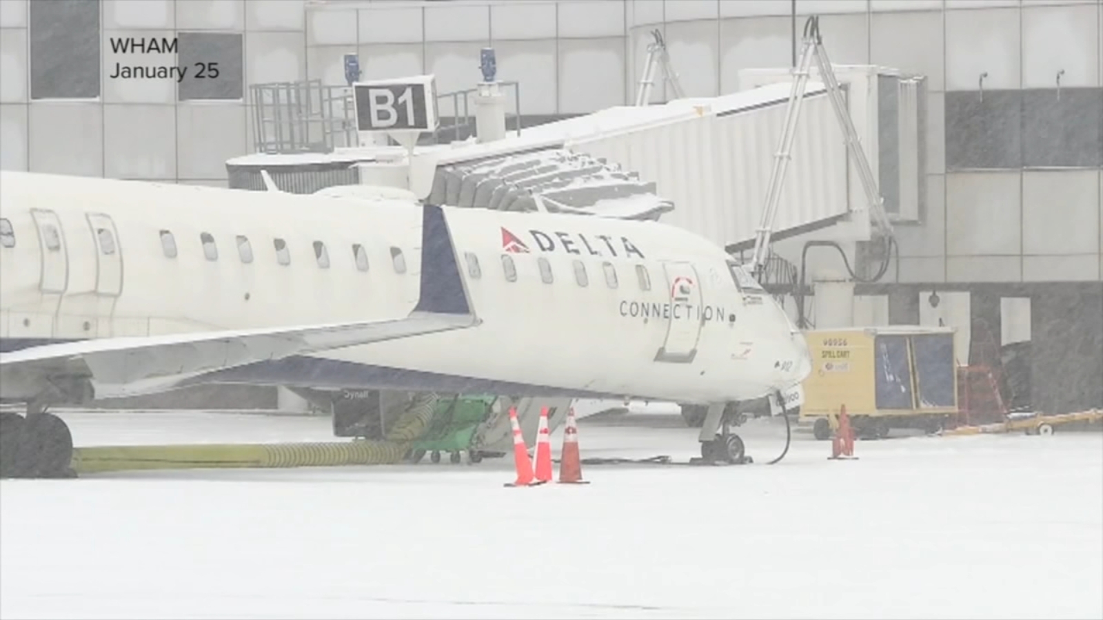
1 month agoSnow prompts cancellations of flights, trains, buses
Nassau and Suffolk counties implemented travel bans for nonessential vehicles on all roads from 9 p.m. Sunday until 9 a.m. Monday. Exceptions include municipal workers, doctors, nurses, hospital workers and other essential workers. The Long Island Rail Road suspended service at 1 a.m. Monday "until weather conditions allow for safe resumption."
US news
fromInquisitr News
1 month agoNetizens Rage at NYC Mayor Zohran Mamdani as Dangerous Blizzard Approaches - Inquisitr News
Initially, New York City public schools intended to have remote learning on Monday. However, Mamdani reversed course on Sunday afternoon, giving New York City students their first true snow day in several years. The city previously attempted to end weather-related off days under former Mayor Eric Adams. As has often been the case during Mamdani's two months as mayor, many social media users took issue with the playful tone he adopted in the X videos.
US politics
fromIrish Independent
1 month agoFlights to Dublin cancelled as Storm Hernando closes in on US east coast
Posting on X, the airport said: "Due to adverse weather (Storm Hernando) on the east coast of the US, airlines have cancelled a number of flights due to operate to/from Dublin Airport on Monday." We need your consent to load this Social Media content. We use a number of different Social Media outlets to manage extra content that can set cookies on your device and collect data about your activity. Please review your details and accept them to load the content
Travel
fromFOX 5 New York
1 month agoMayor Mamdani declares NYC travel ban amid historic winter storm
New York City Mayor Zohran Mamdani ordered the city-wide travel ban during a press conference Sunday afternoon, while declaring a State of Emergency for all five boroughs. All city streets, highways and bridges will be closed to non-emergency traffic for the duration of the ban, which starts at 9 p.m. Sunday and will remain in effect until noon Monday. The mayor also announced that New York City Public Schools would have a full snow day on Monday, the first since 2019.
New York City
fromKPBS Public Media
1 month agoBlizzard conditions and high winds forecast for NYC, East coast
The National Weather Service (NWS) has issued blizzard warnings for millions of residents in New Jersey, Delaware, Long Island, New York City, and southern Connecticut from Sunday morning through Monday afternoon. "Whiteout conditions are expected and will make travel treacherous and potentially life-threatening," the blizzard warning reads. "The strong winds and weight of snow on tree limbs may down power lines and could cause sporadic power outages."
US news
fromwww.npr.org
1 month agoBlizzard conditions and high winds forecast for NYC, East coast
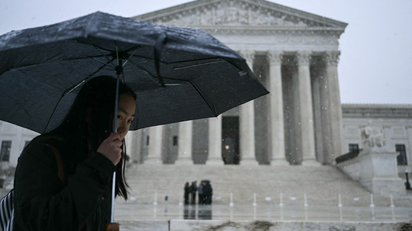
A powerful winter storm is expected to bring blizzard conditions and power outages along the Atlantic coast on Sunday, with some areas forecast to get more than a foot of snow. The National Weather Service (NWS) has issued blizzard warnings for millions of residents in New Jersey, Delaware, Long Island, New York City, and southern Connecticut from Sunday morning through Monday afternoon. "Whiteout conditions are expected and will make travel treacherous and potentially life-threatening," the blizzard warning reads.
US news
fromLos Angeles Times
1 month agoYosemite National Park closed because of winter storms
Yosemite National Park is closed through Friday because of impacts from the winter storm, including heavy snowfall and heavy trees. The National Park Service announced Thursday that the park is closed and that visitors with lodging reservations may still enter the park through Highway 140 at the Arch Rock entrance. Since Monday, Yosemite Valley and the park has received about 4 feet of snow and up to 52 inches in some areas, according to the National Weather Service in Hanford.
Environment
fromTravel + Leisure
1 month agoThese Midwestern Ice Caves Opened This Week for the First Time Since 2015
Shouldered by sandstone cliffs, these caves in Bayfield, Wisconsin, form when water-and, notably, waves-that would normally flow through the sandstone freezes instead, birthing icicles, columns, and curtains. During the winter of 2015, the caves attracted just shy of 40,000 tourists within a nine-day period, the Associated Press reported at the time.
US news
fromNBC New York
1 month agoIt's time to move your cars! NYC's alternate side parking is back
After close to a month, it's time for New York City drivers to move their cars because alternate side parking is back in effect. "The New York City Department of Transportation announced that Alternate Side Parking Regulations will resume starting Thursday, 2/19. Parking meters will remain in effect," Notify NYC's bulletin said. Alternate side parking rules had been suspended since a winter storm hit the tri-state area in late January, bringing snow and freezing rain.
New York City
fromKqed
2 months agoHere's When Rain and Snow Will Hit the Bay Area and Tahoe This Week | KQED
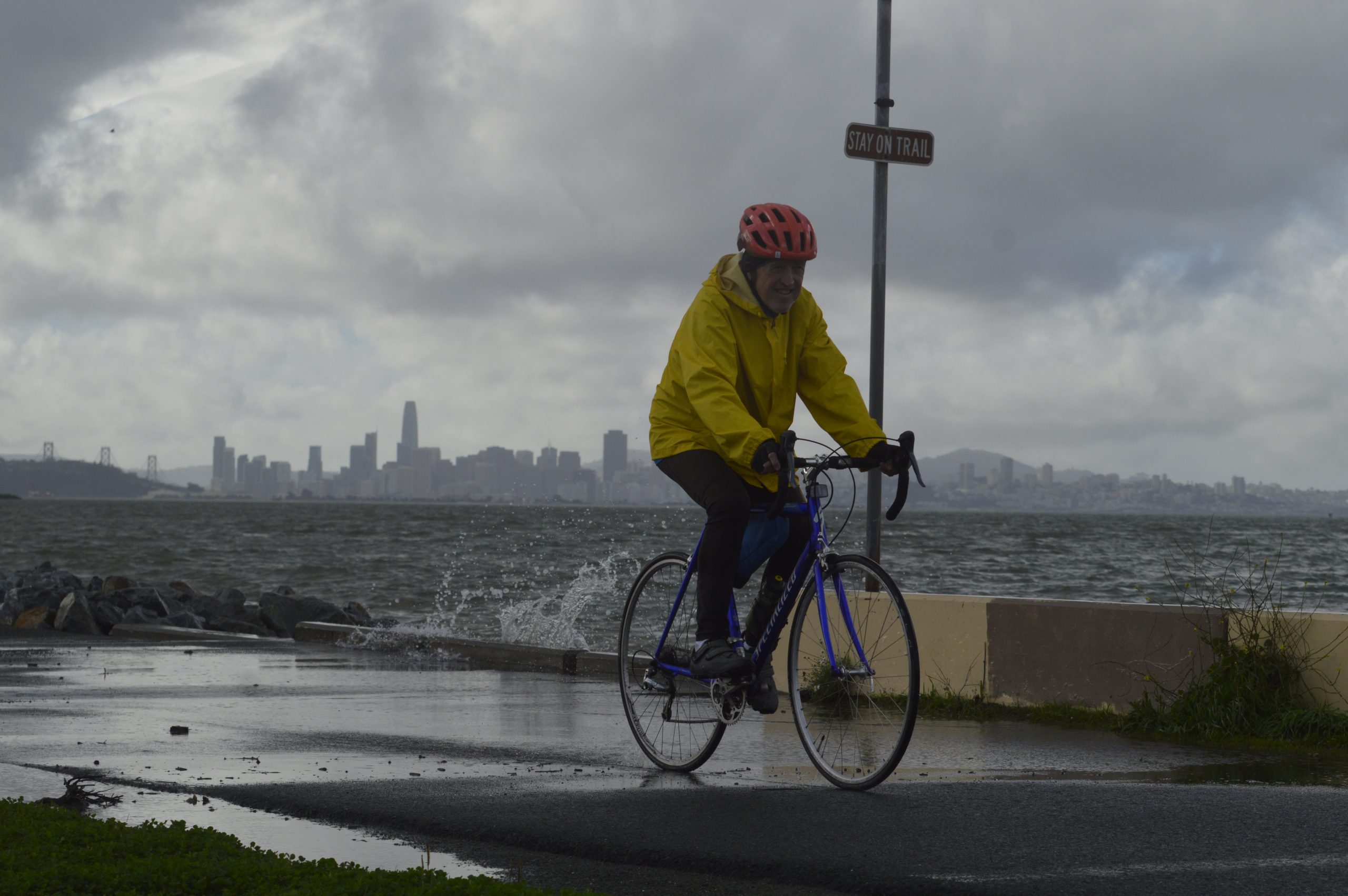
This week's storm pummeling the Bay Area has already unleashed pouring rain, more than 500 lightning strikes, snowy peaks and reports of hail. And more is on the way - rain will fall all week on the coastal region, with frigid temperatures in the North and South Bay Area, and plenty of snow in the Sierra Nevada by the end of the week.
California
fromLos Angeles Times
2 months agoL.A. storm timeline: Bursts of rain, blasts of wind expected in Presidents Day washout
"There's 30% to 40% chance of thunderstorms on Monday. We could see damaging wind gusts, intense rainfall, water spouts or brief, weak tornadoes." Though it's expected to start drizzling overnight, Angelenos likely won't see heavy rainfall until late Monday afternoon, with showers predicted through the evening. The coasts could see 1 to 2½ inches of rain, with up to 5 inches predicted for the foothills and mountains.
Los Angeles
fromwww.npr.org
2 months ago'Major travel impacts' expected as winter storm watch issued for northern California
The National Weather Service warned people traveling to and from the Sierra Nevada and its popular ski resorts to expect "major travel impacts" and to use "extreme caution." But there is still time for people to get to their destinations for Presidents Day weekend. Dakari Anderson, a National Weather Service meteorologist in the Sacramento office, told The Associated Press that Saturday through Sunday morning is going to be the "best travel window" ahead of the incoming cold weather system.
Environment
fromwww.cbc.ca
2 months agoToronto police have issued over $2M in tickets to drivers for parking on snow routes | CBC News
Toronto police officers issued more than $2 million in parking tickets to drivers who parked their vehicles along designated snow removal routes in the last two weeks of January, data shows. Police parking enforcement officers handed 21,508 tickets to drivers who parked on snow routes in the city from Jan. 15 to Jan. 30, with each ticket carrying a fine of $100, according to the Toronto Police Service.
Canada news
fromwww.cbc.ca
2 months agoWinter strikes back: Blowing snow, strong winds forecasted for GTA Friday | CBC News
A special weather statement for wind gusts up to 80 kilometres per hour and blowing snow has been issued for most of the Greater Toronto Area by Environment Canada. Meanwhile it issued a yellow weather alert for Halton region due to the added risk of significantly reduced visibility from the snow. About four to eight centimetres of snow is expected by Friday evening throughout the GTA, said the national weather agency.
Canada news
fromSnowBrains
2 months agoSnowBrains Forecast: Snowmageddon Continues For Japan With 1 Meter of Snow Expected - SnowBrains
WeatherJapan stays in a very active winter pattern through early next week, with the most reliable snow from Thu night (02/05) through Mon (02/09) and frequent refreshes in Hokkaido. Snow levels sit at or near sea level for much of the period in Hokkaido, and that keeps precipitation as snow even down low while temperatures hold well below freezing. Snow quality should improve as colder air settles in, with SLRs often rising into the 16-19:1 range later in the weekend.
Snowboarding
[ Load more ]
