Snowboarding
fromSnowBrains
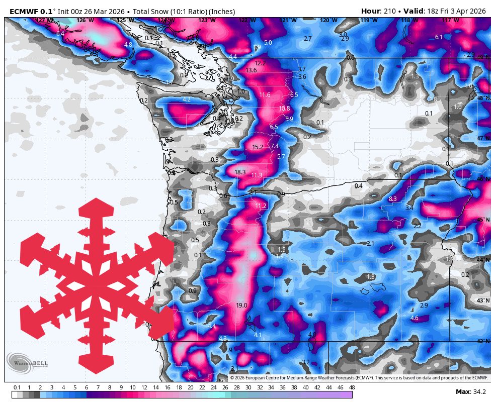
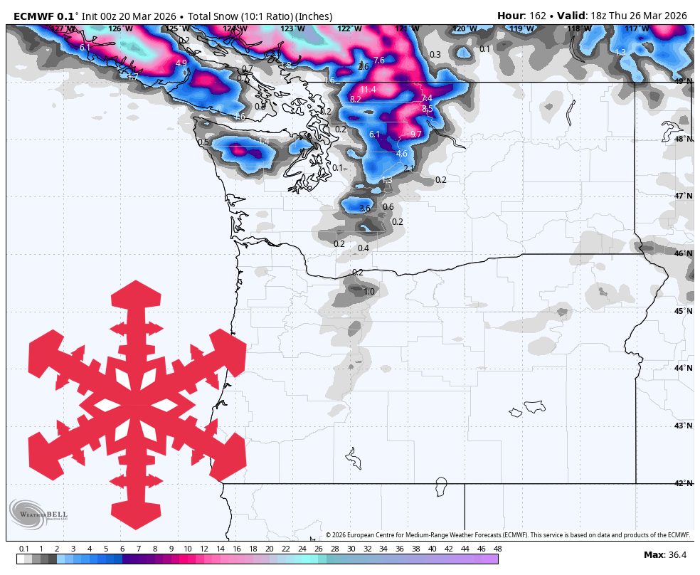
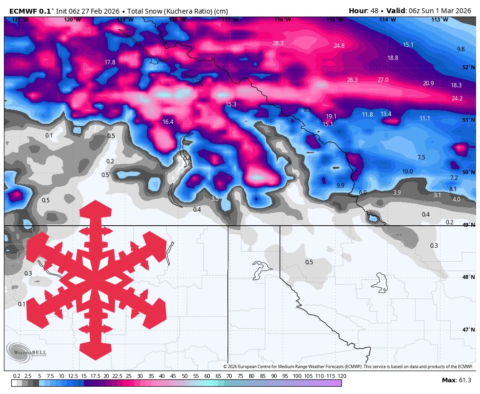
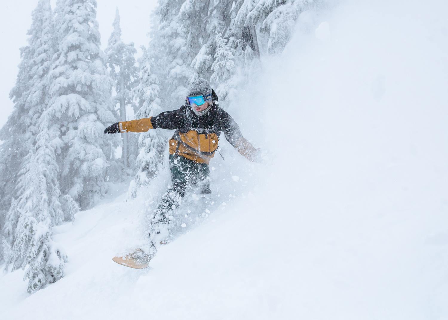
10 hours agoSnowBrains Forecast: Up to 25 cm for BC/Alberta through Sunday
Best late-week snow totals occur on Banff Sunshine and Lake Louise through Sunday, with higher snow levels early and denser snow during a more organized Friday-to-Sunday wave.