Snowboarding
fromSnowBrains
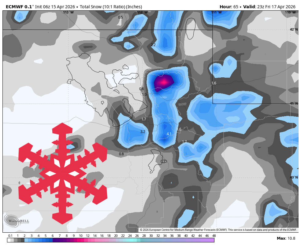
2 weeks agoSnowBrains Forecast: 5-25 cm for Australia's Mountains Through Friday - SnowBrains
A cold front will bring significant snowfall to Australia's alpine regions from May 6 to May 8, with varying totals across different areas.