Washington DC
fromWashingtonian - The website that Washington lives by.
17 hours agoGreat American State Fair Loses Milli Vanilli, Keeps Vanilla Ice; National Guard Troops Will Remain in DC Indefinitely; Bald Eagles Rescued - Washingtonian
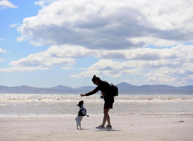
Sunny weather with clear skies and a 79°F high, plus weekend sports and music recommendations, alongside updates on a proposed US-Iran ceasefire framework.