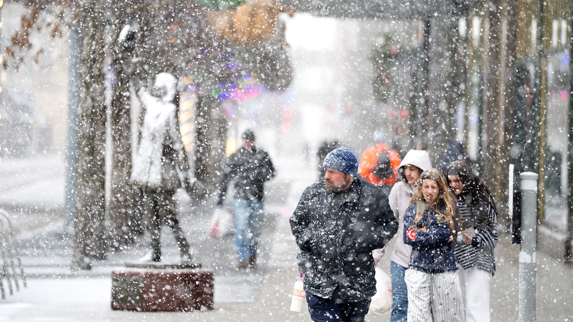
"A potent winter storm threatened blizzard-like conditions, treacherous travel, and power outages in parts of the Upper Midwest as other areas of the country braced Monday for plunging temperatures, strong winds, and a mix of snow, ice, and rain.The snow and strengthening winds began spreading Sunday across the northern Plains, where the National Weather Service warned of whiteout conditions and possible blizzard conditions that could make travel impossible in some areas."
""Part of the storm system is getting heavy snow, other parts of the storm along the cold front are getting higher winds and much colder temperatures as the front passes," said Bob Oravec, a lead forecaster at the National Weather Service office in College Park, Maryland. "They're all related to each other - different parts of the country will be receiving different effects from this storm."The weather service warned of "dangerous wind chills" as low as minus 30 degrees Fahrenheit (minus 34.4 degrees Celsius) in North Dakota and into Minnesota from Sunday night into Monday."
"In the South, meteorologists warned severe thunderstorms are likely to signal the arrival of a sharp cold front - bringing a sudden drop in temperatures and strong north winds that will abruptly end days of record warmth throughout that region.The high temperature in Atlanta was around 72 F (22 C) on Sunday, continuing a warming trend after climbing to 78 F (about 26 C) to shatter the city's record high temperature for Christmas Eve, the National Weather Service said. Numerous other record high temperatures were seen across the South and Midwest on the days after Christmas."
A powerful winter storm produced heavy snow and strengthening winds across the northern Plains and upper Great Lakes, prompting warnings of whiteouts and possible blizzard conditions that could make travel impossible. Snowfall was expected to exceed a foot in parts of the upper Great Lakes and potentially double that along the south shore of Lake Superior. The National Weather Service warned of dangerous wind chills as low as minus 30 F in North Dakota and Minnesota. In the South, a sharp cold front and likely severe thunderstorms were expected to bring sudden temperature drops and strong north winds, ending recent record warmth and producing rain followed by a big temperature decline.
Read at Fast Company
Unable to calculate read time
Collection
[
|
...
]