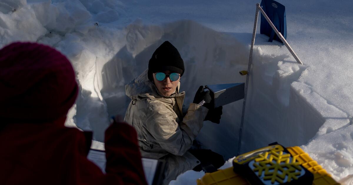
"At UC Berkeley's Central Sierra Snow Laboratory, located at 6,894 feet above sea level near Donner Pass, researchers collect detailed measurements of the snowpack each day. There is still some snow on the ground to measure, but less than they usually see in late January. The reason: Extraordinary warmth has been the norm across the West this winter. Many areas, from the Sierra Nevada to the Rocky Mountains, have experienced record or near-record high temperatures since November."
""The story so far at the lab has been that we've had a warm winter where we've had plenty of rain, not necessarily as much snow as we would hope," said Andrew Schwartz, the lab's director. So far this winter, the lab has recorded precipitation that measures 120% of average, but the warm temperatures have meant more precipitation falling as rain rather than snow."
Record warmth this winter across much of California and the West has produced a diminished snowpack across the Sierra Nevada and Rocky Mountains. UC Berkeley's Central Sierra Snow Laboratory at 6,894 feet takes daily snowpack measurements and reports less snow than is typical for late January. The lab recorded precipitation at 120% of average, but warmer temperatures shifted much precipitation to rain, leaving the lab's snowpack at 61% of average as of Jan. 23. California's statewide snowpack measures 66% of average, with the northern Sierra at 50% and the southern Sierra at 86%, aided by high-peak snow. Parts of Utah, Colorado and other Western areas show snow at or near record lows. The Colorado River remains in severe drought, and low Rocky Mountain snowpack could worsen Southwest water shortages.
Read at Los Angeles Times
Unable to calculate read time
Collection
[
|
...
]