"SWE is the most important metric for all of our water resources. It's the metric that we deal with the most and the one that the entirety of the snow research and operations community is working to get right. So, seeing an increase in SWE like that, even if it's from mid-winter rain, is a great thing because that means we have more water stored in the snowpack moving forward."
"When colder storms occur, like the one we had last week, that colder air gets trapped and leads to an increase in snowpack cold content. If we get rain after that, the rain can percolate into the snow and then freeze due to the colder, sub-freezing, temperatures in the snowpack."
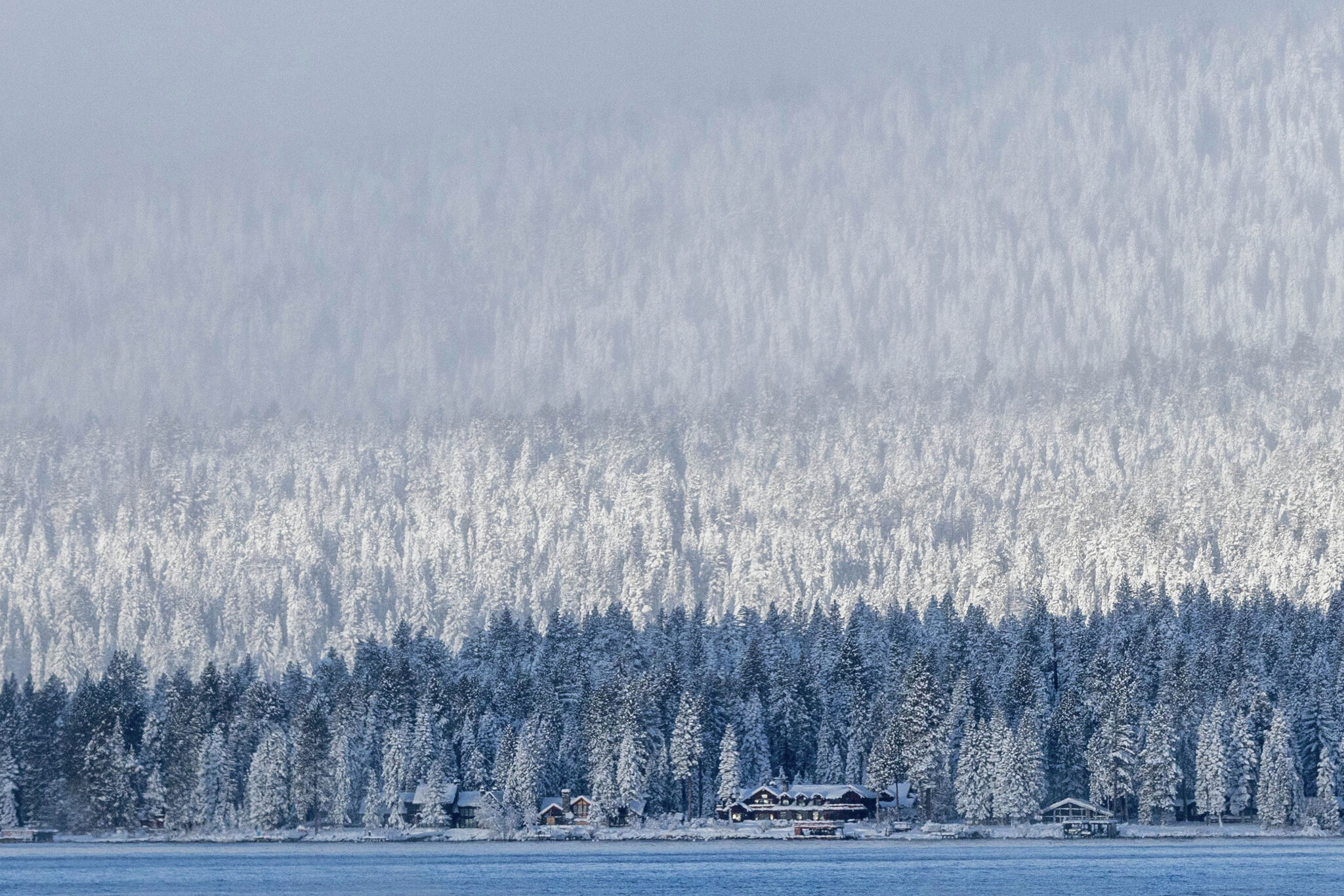
Rain falling on the Sierra Nevada's snow layer has percolated through and frozen into ice, significantly boosting the snowpack's water content. Snow water equivalent, the critical metric for water resources, increased 5% from Monday to Wednesday, rising from 70% to 75% of normal. Despite this improvement, statewide snowpack remains at 61% of average peak levels. Regional variations exist, with the Southern Sierra at 95% of normal, the Central Sierra at 74%, and the Northern Sierra at 54%. The increase resulted from a warmer storm following a colder one that deposited substantial snow, allowing rain to percolate and refreeze in the subfreezing snowpack.
#snowpack-water-resources #snow-water-equivalent #california-drought #winter-precipitation #sierra-nevada
Read at SFGATE
Unable to calculate read time
Collection
[
|
...
]