#east-coast-snowfall
#east-coast-snowfall
[ follow ]
#winter-storm #power-outages #noreaster #coastal-flooding #heavy-snow #travel-disruptions #blizzard #bomb-cyclone
fromSnowBrains
6 days agoSnowBrains Forecast: Up to 1 Foot for Colorado Through Saturday - SnowBrains
The storm already underway across most of the state keeps snow going through today, then winds down overnight and early Wednesday. The guidance is well clustered on that timing and on snow levels holding between 6,500 and 8,500 feet while it is snowing.
Snowboarding


fromSilicon Canals
2 months agoThe one thing meteorologists wish people would stop doing before a winter storm hits - Silicon Canals
When I spoke with emergency management officials last year, they all mentioned the same frustrating scenario. People ignore storm warnings until the precipitation starts falling, then suddenly everyone rushes out at once. The roads become congested with anxious drivers, accidents spike, and stores run out of essentials just when people need them most. But here's what really gets meteorologists worked up about this pattern. Modern weather forecasting has become incredibly accurate, especially for major winter storms.
Public health
fromwww.scientificamerican.com
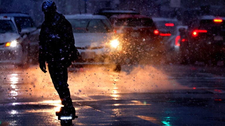
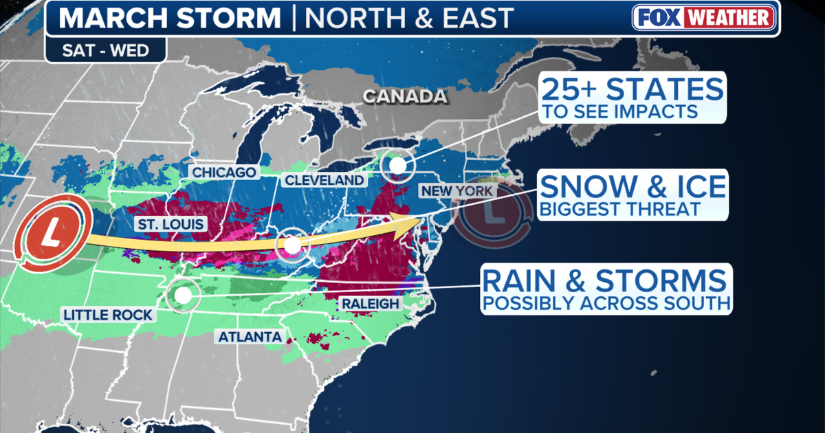
1 month agoA bomb cyclone is bringing blizzard conditions to the Northeast. So what is a blizzard exactly?
But what, exactly, is a blizzard? A blizzard doesn't always mean "a lot of snow," though it can certainly bring heavy snowfalls, as this storm is expected to along parts of the East Coast. Rather, the National Weather Service defines it as a snowstorm with winds regularly above 35 miles per hour and "considerable falling" or blowing snow for at least three hours.
Science


fromsilive
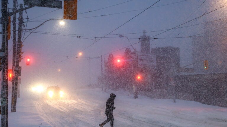
1 month agoN.Y. weather: Blizzard warning issued for NYC; here's latest on rising snow projections, whiteout conditions
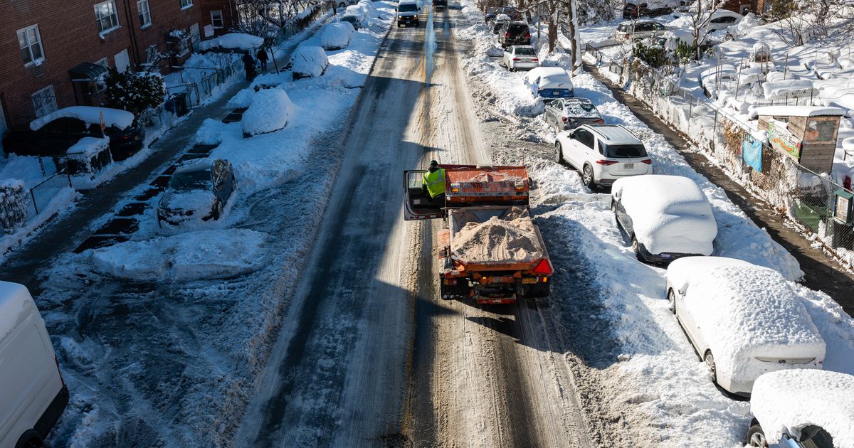
Residents should prepare for the worst of the storm late Sunday night, when snowfall rates could exceed 2 inches per hour. The weather service believes the heaviest snow will come down from 7 p.m. Sunday through about 12 p.m. Monday. The snow is expected to develop Sunday morning and afternoon, possibly mixing with rain at the onset before tapering off late Monday morning into Monday afternoon.
New York City
frommasslive
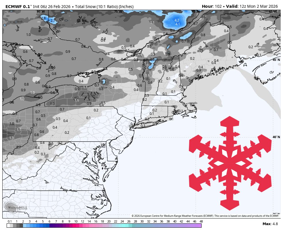
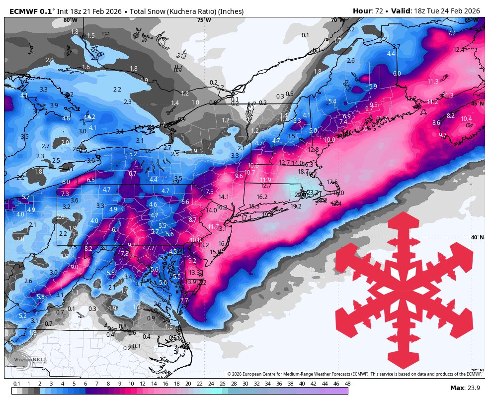
2 months agoMass. weather: 5 maps to track as snowstorm closes in
The National Weather Service forecasts the first snow to begin falling around 9 a.m. Sunday and continue through Monday, with scattered showers possibly lasting into Tuesday. The weather service expects a final total of 14 to 20 inches of snow across the state, with some coastal towns possibly seeing more than 20 inches: The high end of projections call for a potential of 24 inches in Gloucester and other North Shore communities, with Boston possibly seeing 21 inches:
US news
[ Load more ]