"Through Friday, individual guidance is largely converging on quiet weather, then a brief warm and windy push Friday night into Saturday. The timing signal is tight, with the main wind uptick centered on Saturday morning and afternoon; gusts commonly reach 35-50 mph at many elevations, with higher exposed ridges possible."
"Saturday night through Sunday, guidance converges better on a colder light-snow wave, while still showing moderate spread on exact intensity. The most realistic outcome for this window is a broad but modest refresh, generally in the 1"-3" range at most mountains, with some spots closer to 0"-1". Snow quality improves substantially versus Saturday, with SLRs mostly in the 16-19:1 range, so Sunday turns should ski drier and lighter than the prior day."
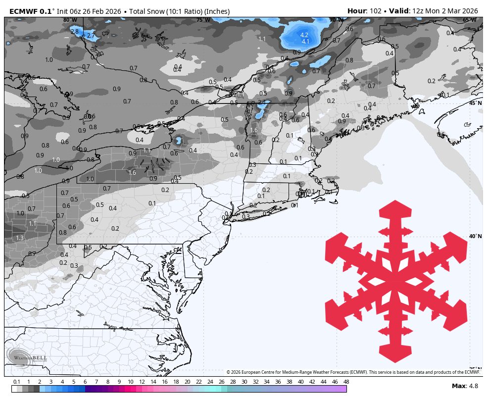
A quiet weather pattern persists through Friday in the Northeast, followed by a light weekend snow refresh. Saturday brings wind gusts of 35-50 mph on exposed areas with modest precipitation and rising snow levels to 2,000-3,300 feet, creating dense snow conditions. Saturday night into Sunday, colder air moves in with snow levels dropping to valley floors and 1-3 inches of accumulation expected across most mountains. Snow quality improves significantly Sunday with better ratios around 16-19:1, providing lighter, drier conditions for skiing. All resorts remain operational, and Monday turns cold and mostly dry before forecast confidence decreases.
Read at SnowBrains
Unable to calculate read time
Collection
[
|
...
]