#ad-536-dust-veil
#ad-536-dust-veil
[ follow ]


fromFast Company
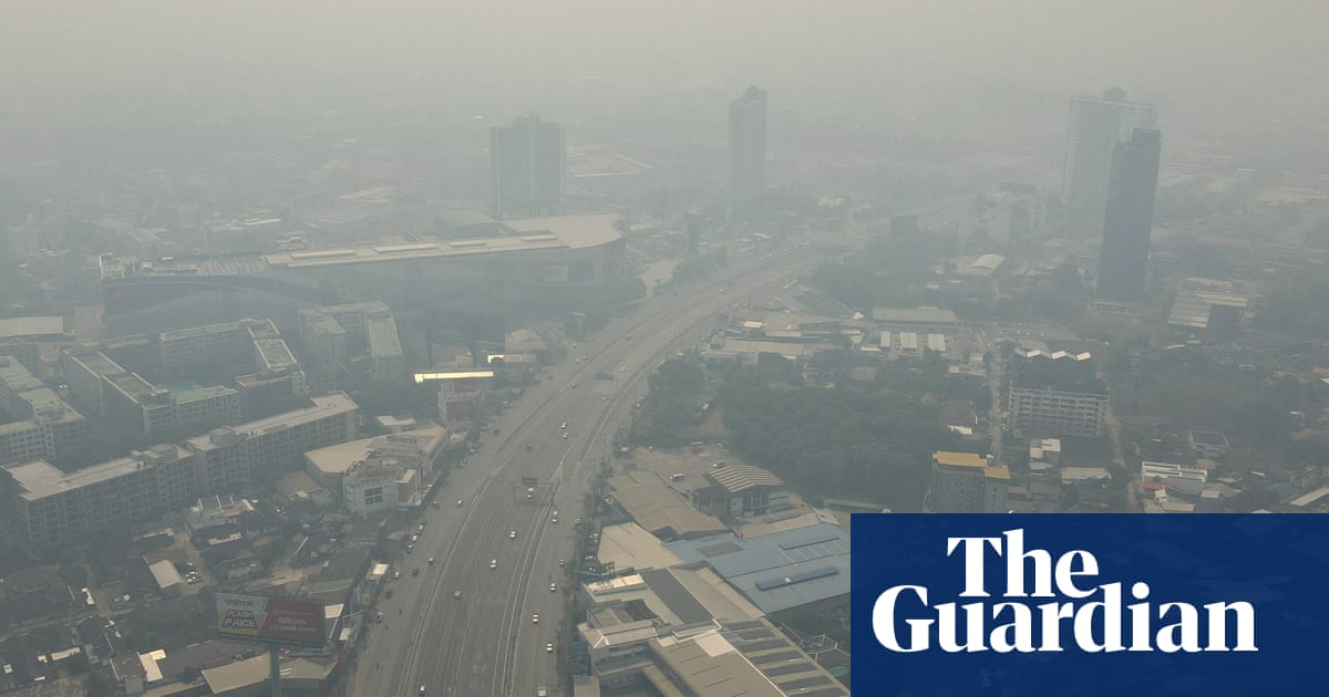
3 days agoSee it: Air temperatures and pollution around the world are captured in real time in these animated weather maps
We created Earth in Action to provide a lens into what's happening on our planet, as it happens. Whether it's something typical, like the current air temperature, or an extreme event like a major dust storm, we wanted to provide an opportunity for people to see them.
OMG science


fromThe Washington Post
1 week agoRare Middle East storm could bring floods, damaging winds and tornadoes
Parts of the Arabian Peninsula and Persian Gulf could be slammed by strong to severe thunderstorms Thursday, bringing the potential for damaging winds, destructive hail and a few tornadoes.
World news
Snowboarding
fromSnowBrains
3 weeks agoSnowBrains Forecast: Warm, Dry California Pattern With No New Snow Into Next Week - SnowBrains
California ski resorts face warm, dry spring conditions with no snowfall expected for 10 days, featuring brief weekend wind at Tahoe followed by significant warming early next week.
fromSFGATE
3 weeks agoBay Area's hot and dry weather will make your eyes water
That does make the plants begin to pollinate. The warm weather definitely gets them going and at higher levels in the air, absolutely. When we're seeing a bit more windy days, that can also increase that amount of pollen that's in the air.
San Francisco
Environment
fromLos Angeles Times
2 weeks agoCalifornia's snowpack was already meager. Now comes an extraordinary heat wave
California's Sierra Nevada snowpack is at 48% of average due to an extremely warm winter, with rapid melting accelerated by an incoming heat wave threatening the state's water supply.


Environment
fromNature
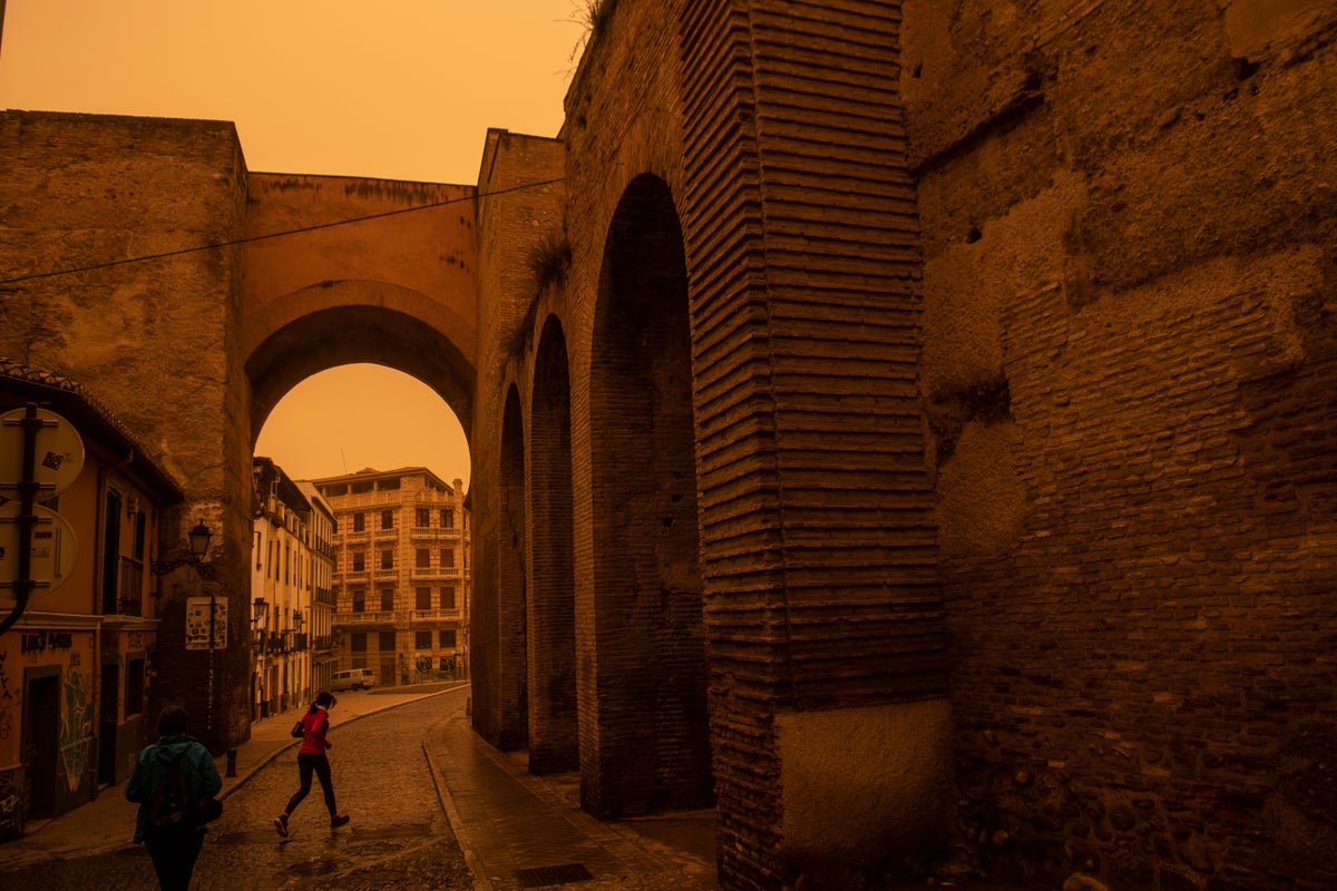
3 weeks ago'Black rain' in Tehran - what are the health effects?
Missile strikes on Iranian oil facilities released toxic chemicals into the atmosphere, creating black acid rain containing harmful hydrocarbons, sulfur oxides, and nitrogen compounds that pose serious health risks.
fromwww.theguardian.com
1 month agoExtreme heat lab: enduring the climate of the future
"So whenever people think about hot weather, they always talk about the temperature," he says. "There's two issues with that. First of all, most people don't realise that the temperature is measured in the shade. So if you're in direct solar radiation, the amount of heat stress you're exposed to is much greater as it will stress your body out a lot more."
Public health
fromFuturism
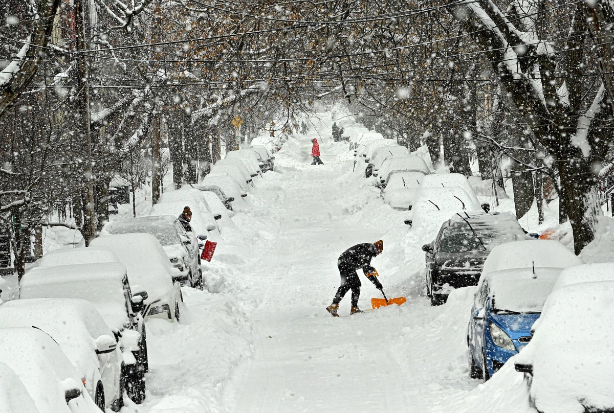
2 months agoMeteorologist Warns That Winter Storm Means Trees Are About to Start Exploding
With a major winter storm about to blast pretty much every US state east of the Rocky Mountains, many are scrambling to prepare for the cold, ice, and snow. And according to popular meteorology influencer Max Schuster, there's yet another winter-weather hazard to watch out for: trees exploding in the frigid air. On a viral post on X-formerly-Twitter, Schuster - who holds a meteorology degree
Science


fromNature
2 months agoMicroplastic levels in the air have been overestimated, but are still a big concern
Many human activities - from improper disposal of waste to the degradation of car tyres - release small plastic particles, which have infiltrated the atmosphere, oceans and other ecosystems. These include nanoplastics - particles measuring less than 1 micrometre across - and microplastics, which range from 1 micrometre to around 5 millimetres. They've entered our bodies and brains, and scientists are still working to understand their effects on people's health.
Environment
fromThe Mercury News
1 month agoAnticipated rain will bring end to Bay Area's dry pattern
The pattern change began Monday when the barometric pressure surrounding the region started to fall gradually. That increase in low pressure is coming from the southwest and the air is flowing north, opposite of many winter low-pressure systems that dip in from the Pacific Northwest. As a result, light but steady rain is expected to start in Monterey County and the Central Coast late Tuesday morning. The rain is expected to reach the region closer to San Francisco sometime Tuesday night, Murdock said.
Environment
Environment
fromThe Mercury News
2 months agoBay Area researchers hope to unlock the secrets of coastal fog - and understand how it's affected by climate change and pollution
A five-year, $3.7 million project will study California coastal fog's chemistry, ecological roles, and responses to climate change and pollution.


fromsfist.com
2 months agoDry Spell Expected to Persist Until Mid-February, or Longer
It's turned into an unusually dry winter for Northern California, and that pattern, thanks to a ridge of high pressure, is going to continue for at least the first 10 days of February. As the Chronicle meteorology team tells us, the dry and balmy conditions will be with us through Super Bowl Weekend and beyond, continuing a pattern that has left the Sierra snowpack mighty low.
Environment
fromwww.nature.com
1 month agoAtmospheric H2 variability over the past 1,100 years
Warwick, N., Griffiths, P., Keeble, J., Archibald, A., & Pyle, J. Atmospheric implications of increased Hydrogen use. GOV.UK https://www.gov.uk/government/publications/atmospheric-implications-of-increased-hydrogen-use (2022).
Environment
[ Load more ]