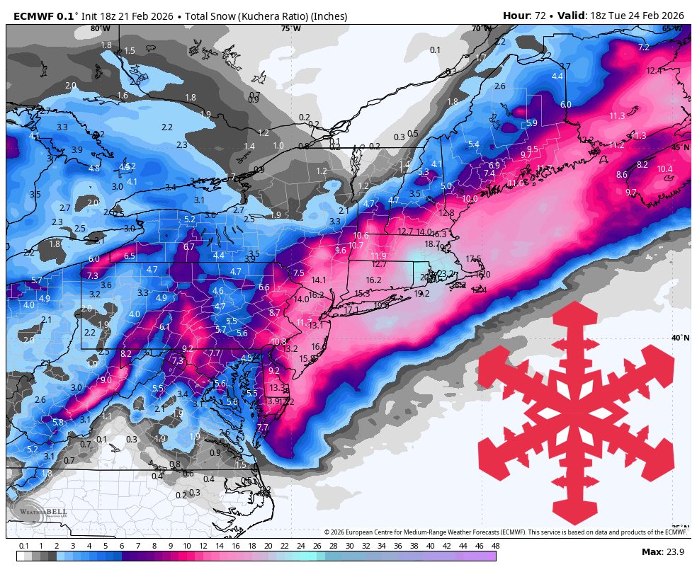
#winter-storm-byron
#winter-storm-byron
[ follow ]
#severe-weather

US news
fromwww.theguardian.com
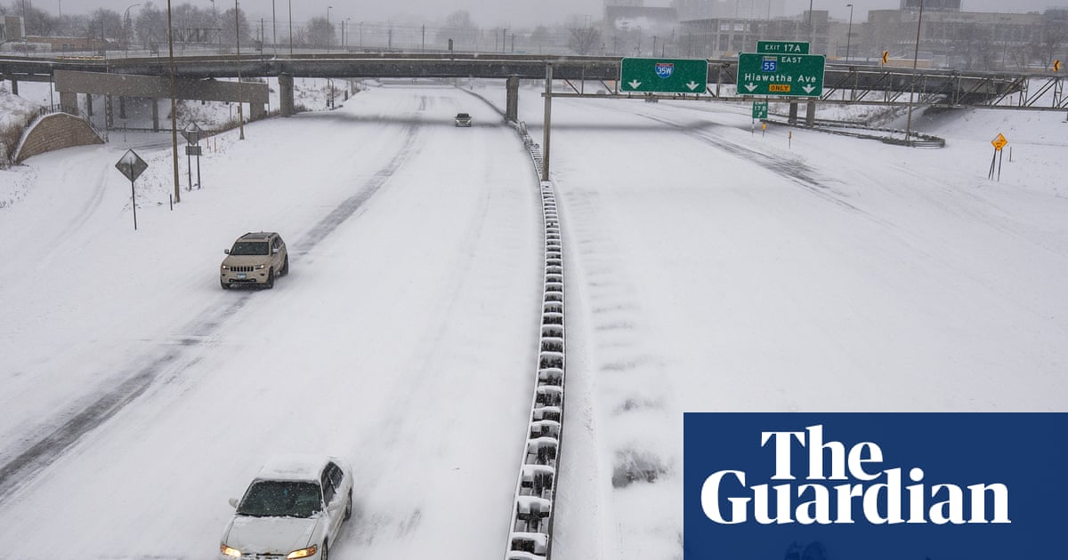
1 month agoTriple-threat megastorm' to scatter snow, high winds and thunder across US
A major March megastorm will impact nearly 200 million Americans with severe snow, damaging winds, tornadoes, and flooding, ranking among the most impactful US weather events of the year.
fromABC7 Chicago
4 days agoSevere storms accompanied by tornadoes damage communities from the Plains to the Midwest
Authorities in Kansas reported several people with minor injuries after storms passed through on Monday. Three people were left with minor injuries in rural Franklin County, about 50 miles southwest of Kansas City.
Canada news

fromSnowBrains
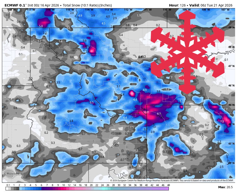
5 days agoSnowBrains Forecast: Up to 1 Foot for Colorado Through Saturday - SnowBrains
The storm already underway across most of the state keeps snow going through today, then winds down overnight and early Wednesday. The guidance is well clustered on that timing and on snow levels holding between 6,500 and 8,500 feet while it is snowing.
Snowboarding
fromwww.scientificamerican.com
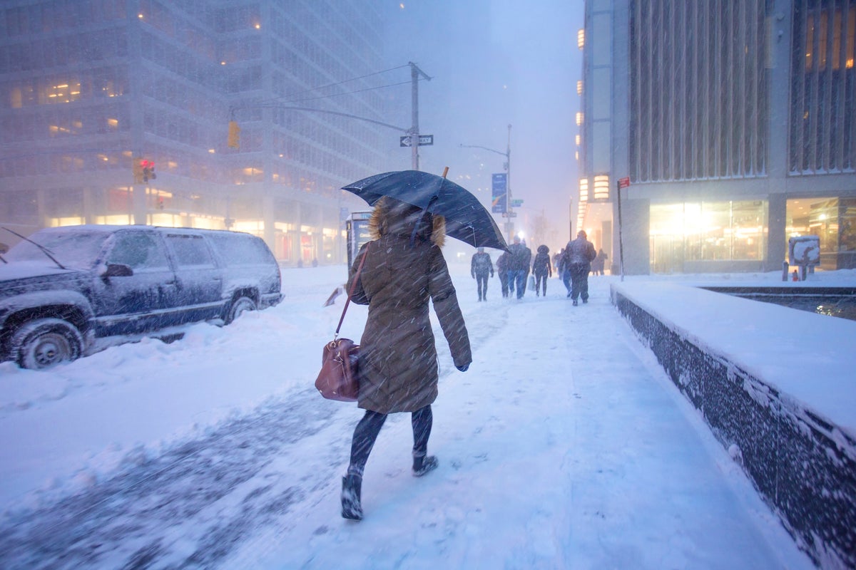
1 month agoA bomb cyclone is bringing blizzard conditions to the Northeast. So what is a blizzard exactly?
But what, exactly, is a blizzard? A blizzard doesn't always mean "a lot of snow," though it can certainly bring heavy snowfalls, as this storm is expected to along parts of the East Coast. Rather, the National Weather Service defines it as a snowstorm with winds regularly above 35 miles per hour and "considerable falling" or blowing snow for at least three hours.
Science
Snowboarding
fromSnowBrains
1 month agoSnowBrains Forecast: Windy Rain-to-Snow for the Northeast Through Tuesday - SnowBrains
A warm, windy Monday transitions to dense snow Monday night through Tuesday across the Northeast, followed by colder midweek conditions and a lower-confidence snow chance this weekend.


fromsilive
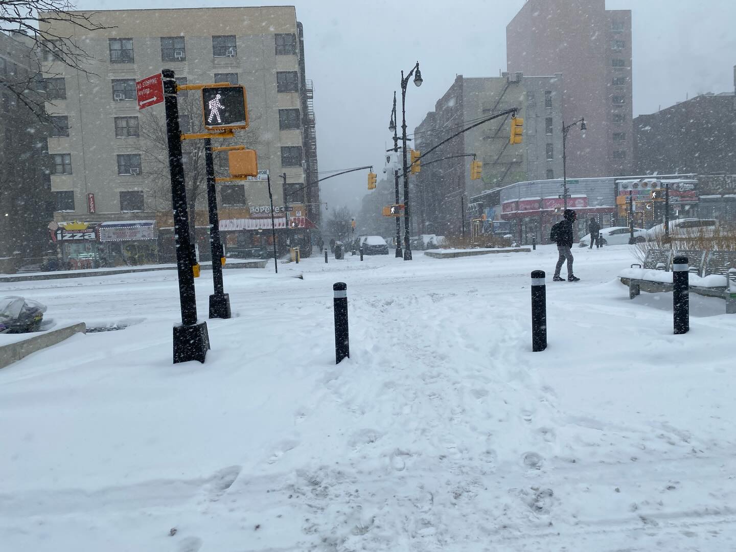
1 month agoN.Y. weather: Blizzard warning issued for NYC; here's latest on rising snow projections, whiteout conditions
Residents should prepare for the worst of the storm late Sunday night, when snowfall rates could exceed 2 inches per hour. The weather service believes the heaviest snow will come down from 7 p.m. Sunday through about 12 p.m. Monday. The snow is expected to develop Sunday morning and afternoon, possibly mixing with rain at the onset before tapering off late Monday morning into Monday afternoon.
New York City
fromwww.scientificamerican.com
2 months agoWinter's next wallop includes a bomb cyclone and Florida freezing
Intensely cold air is scouring the central and eastern U.S. again and will send temperatures plummeting all the way to the tip of Florida. Along with this new Arctic incursion, a major bomb cyclone storm is strengthening off the coast of the Carolinas, potentially bringing rare blizzard conditions to the region. Some areas haven't seen this amount of accumulating snow in over 30 years, wrote the National Weather Service's office in Wilmington, N.C., on Facebook.
Science


Environment
fromIntelligencer
2 months agoThunder Ice to Exploding Trees: A Glossary of Scary Winter Storm Terms
A winter storm will bring thunder-driven freezing precipitation (thunder-ice/thunder-sleet) across the Mississippi River Valley while an extreme cold snap risks tree explosions in the Midwest.
[ Load more ]