#atmospheric-river
#atmospheric-river
[ follow ]
#flooding #bay-area-weather #high-winds #southern-california #sierra-nevada-snow #evacuations #mudslides


fromwww.theguardian.com
3 months agoWeather tracker: Record snowfall in eastern Russia leaves people stranded
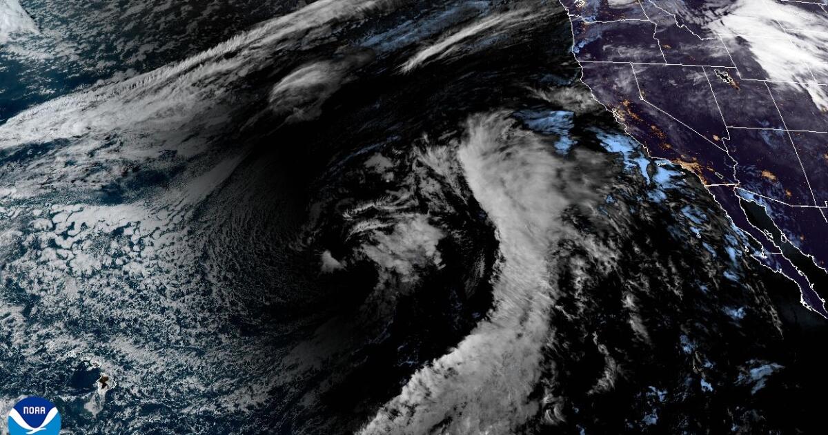
A record-breaking snowfall event unfolded in far eastern Russia last week when the town of Petropavlovsk-Kamchatsky, located on the Kamchatka peninsula's east coast, received more than 1.8 metres (6 feet) of lying snow in places. Strong winds accompanying the snowfall caused extreme drifting of more than 3 metres against buildings and cars. Two key ingredients combined to cause such an extreme snowfall event. Strong Pacific low pressures dragged moist air from the tropics northwards, which clashed with cold Arctic air already over the region. Conveyor belts of tropical air are called atmospheric rivers and often bring heavy rainfall to places such as California.
Environment


fromwww.mercurynews.com
4 months agoSpare the Air Alert issued for New Year's Day in Bay Area
The Bay Air Air District decided Tuesday to usher in 2026 with a directive: No burning wood. Such were the consequences from a Spare the Air alert the agency issued for Thursday, the first day of the new year. Personal fireworks and residential wood burning are expected to cause localized elevated pollution levels, the air district said in a social media statement announcing the alert.
Environment
California
fromLos Angeles Times
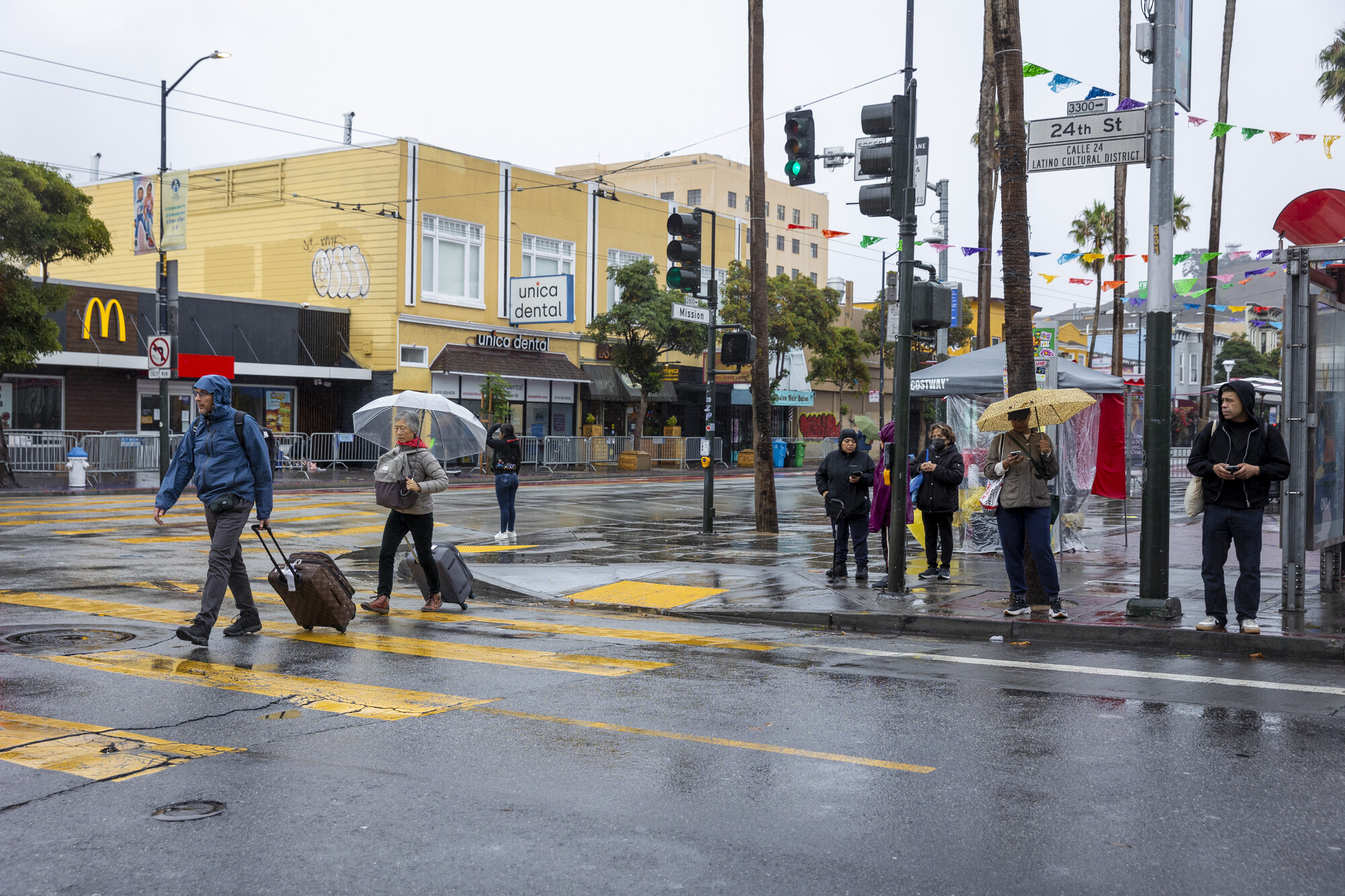
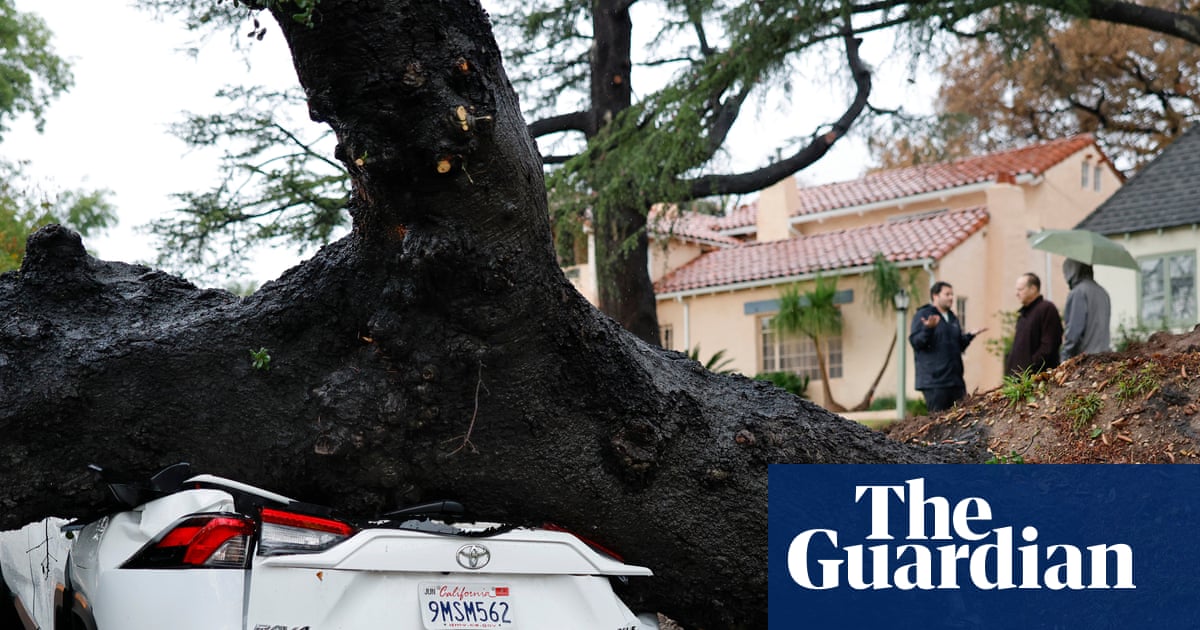
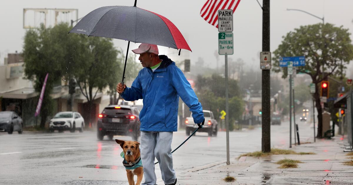
4 months agoWinter storm buries Wrightwood, drenches SoCal: 'All it is is rock and mud,' resident says
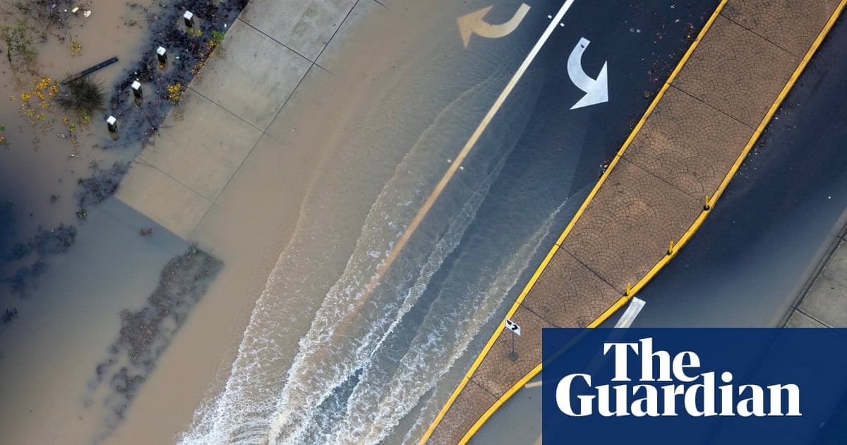
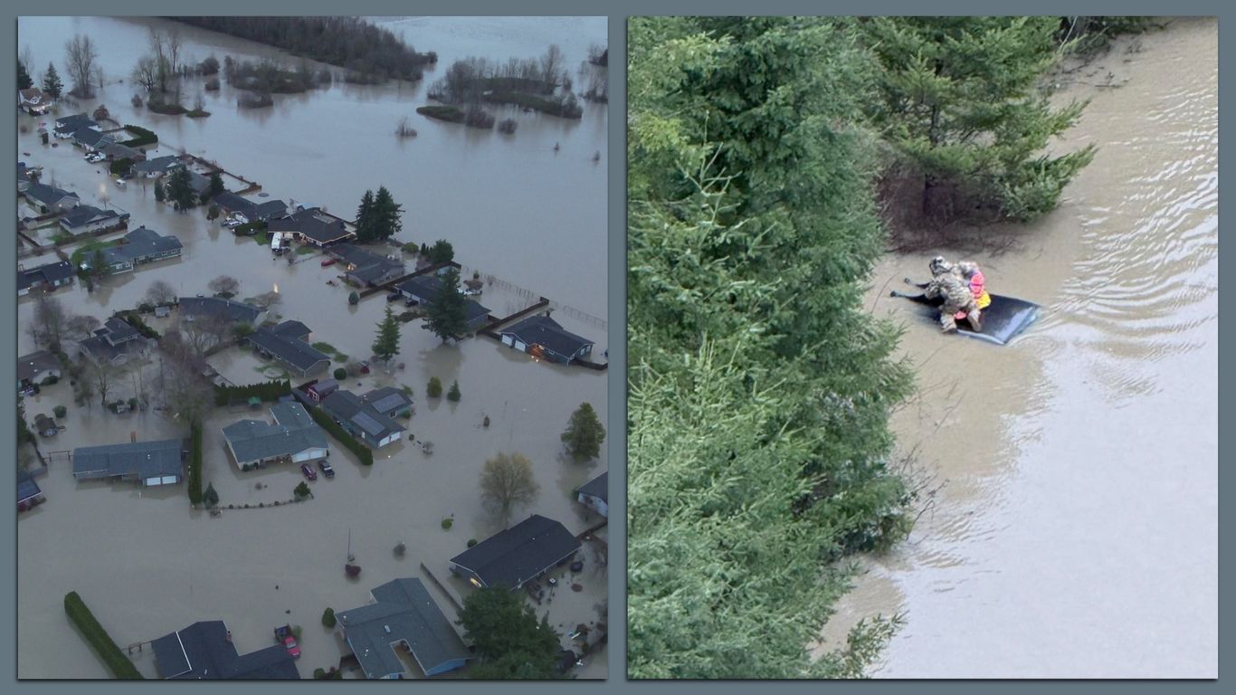
A powerful atmospheric river caused mudflows and widespread storm damage in Southern California, blocking homes, triggering rescues, and prompting multiple county emergency declarations.
#pineapple-express


fromLos Angeles Times
4 months agoEnvironment
California in for wet, white, potentially wild Christmas as Pineapple Express storm looms
A powerful Pineapple Express atmospheric river will likely bring heavy rain to Southern California and Sierra Nevada snow around Christmas, creating flood and travel risks.


Environment
fromLos Angeles Times
4 months agoDeadly winter storm arrives in Southern California, bringing widespread flood, travel risks
A long-duration atmospheric river will likely cause widespread, life-threatening flooding, dangerous mudslides, and severe impacts across Southern California, peaking on Christmas Eve.

fromLos Angeles Times
4 months agoSkiers call this resort 'Big Bare.' Will the coming storm save California's ski season?
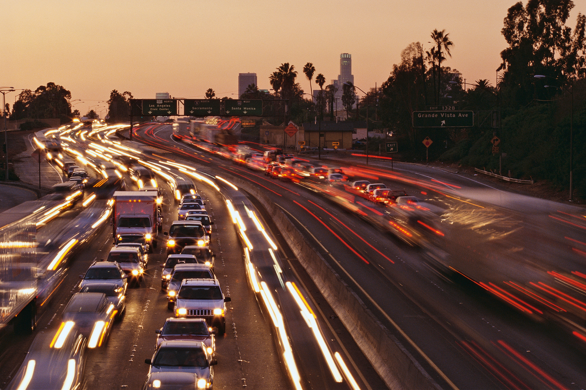
Nothing but dirt and dry, brown chaparral rolled beneath skis and snowboards dangling from a chairlift at Big Bear Mountain Resort on Friday, as forlorn adventure seekers joked they should rename the place "Big Bare." Unseasonably high temperatures even left the impressive array of high-tech, artificial snowmakers below mostly useless, their fans spinning idly in the warm breeze.
California

Environment
fromThe Mercury News
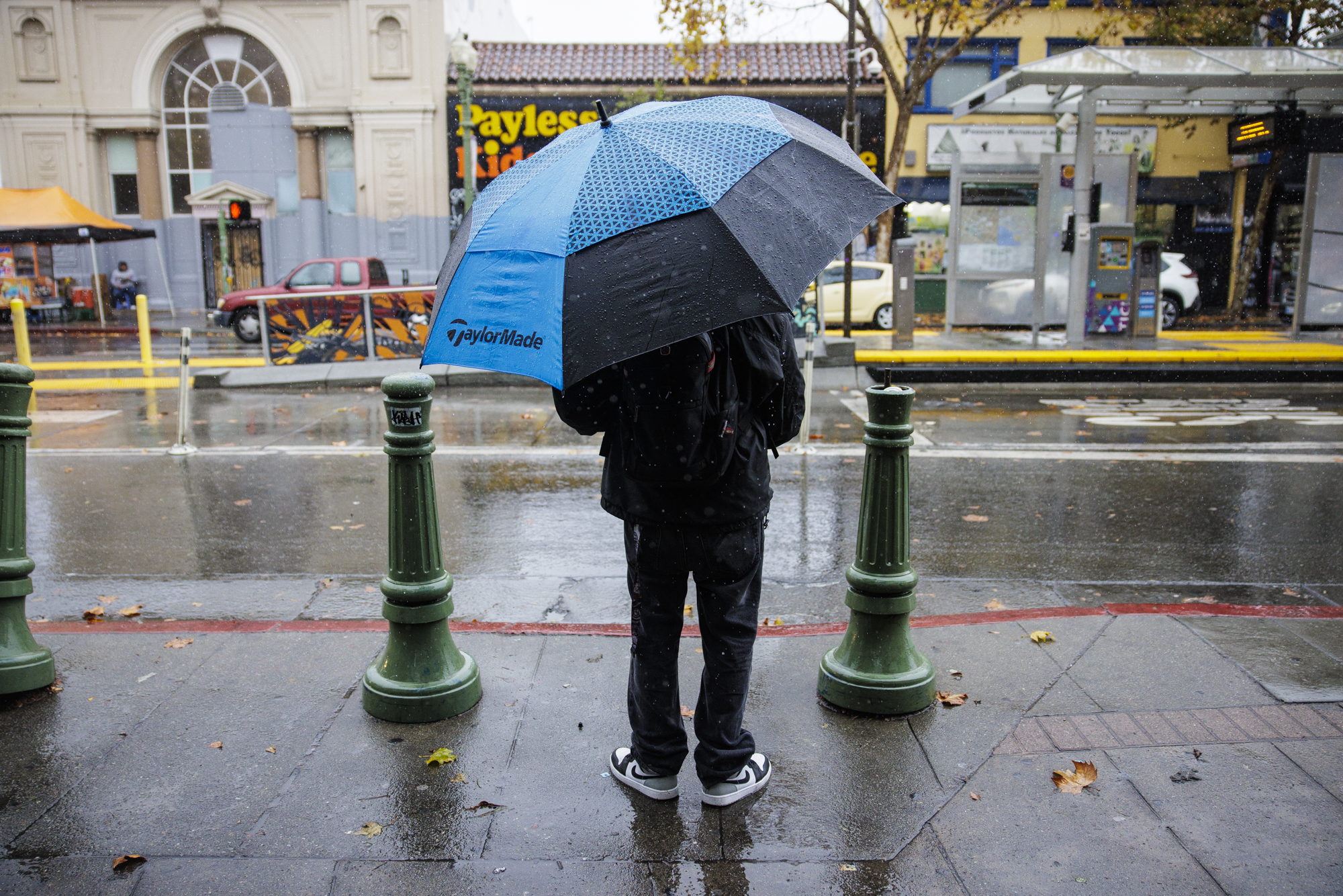
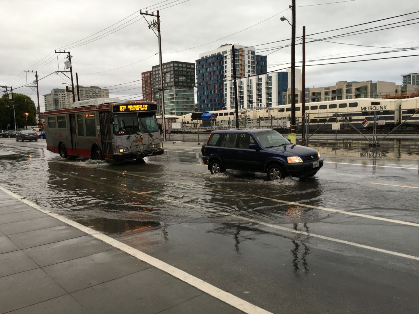
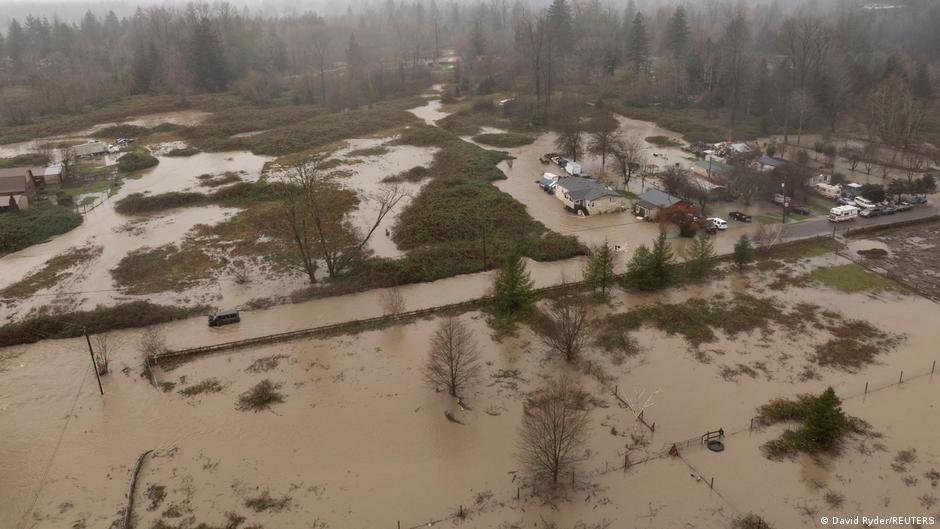
4 months agoHere comes the rain: Entire Bay Area expected to see showers before bigger storm hits Sunday
A major atmospheric river will bring heavy Bay Area rainfall beginning Sunday, likely affecting Christmas travel and producing significant accumulations, especially in the North Bay.


Snowboarding
fromSnowBrains
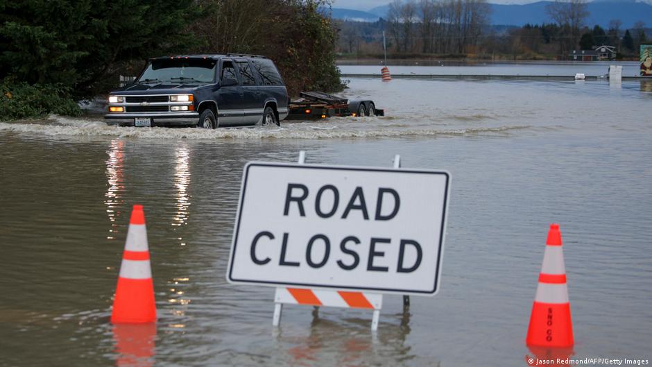
5 months agoHeavy Rain from Atmospheric River Over Washington State Delays Openings and Causes Critical Infrastructure Damage - SnowBrains
An atmospheric river brought heavy rain, floods, and landslides across Washington, forcing highway closures, evacuation orders, and delaying all ski resort openings except Mission Ridge.
US news
fromPortland Mercury
5 months agoGood Morning, News: Portland Cop Arrested, Right-Wing "Journalist" to Sue City, and a Triple Loss for Trump
Portland news outlet seeks reader support while reporting a veteran Portland police officer's domestic violence arrest and weather-driven coastal floods and sewer overflows.
fromSnowBrains
5 months ago[VIDEO] Chris Tomer Mountain Weather Update 12/9: Strong Atmospheric River Flow With More Rain Than Snow - SnowBrains
"Rain on snow event with a strong atmospheric river flow into PNW/BC/ID/MT/WY. Rain/snow lines get pushed to higher elevations with more rain than snow. It's a long wait for UT/CA/AZ/NM/Southern CO." - Chris Tomer Forecast Rain/Snow Line Elevations: Crystal Mountain, WA: Up to 8,000'+ Revelstoke, BC: Up to 4500'/1,350m Whitefish, MT: Up to 8500′ Jackson Hole, MT: Up to 9,000′ Brundage, ID: Up to 9,000′
Snowboarding

Environment
fromLos Angeles Times
5 months agoSanta Barbara hit hard by storms: record rainfall, flooded streets, moisture from Hawaii
Santa Barbara received 6.67 inches of rain in three days, breaking November records and causing widespread flooding, mudslides, downed trees, and increased emergency calls.


California
fromLos Angeles Times
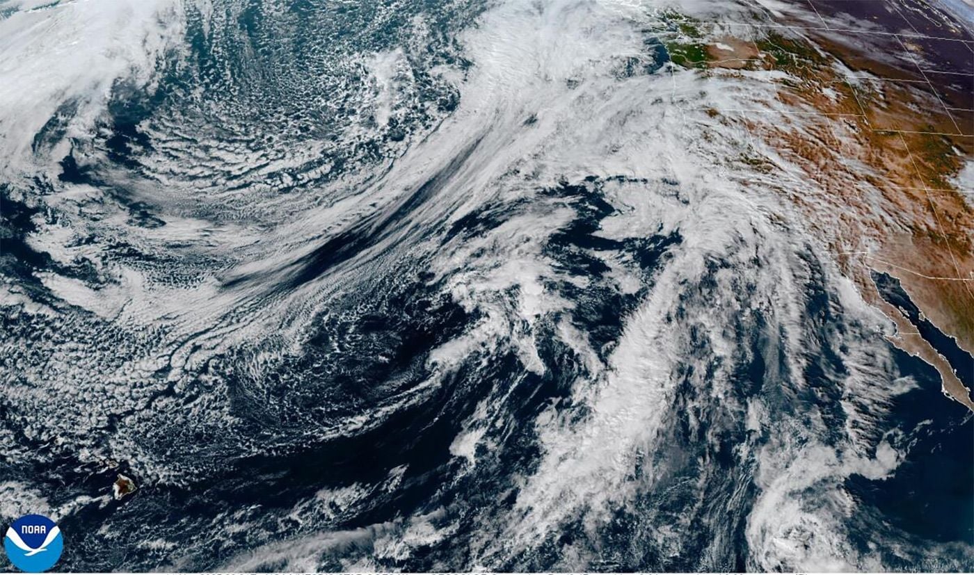
6 months agoSoCal's atmospheric river storm this week: How long will it last and what areas will get the most rain?
A fast-moving atmospheric river will bring heavy rain to Southern California Thursday through Sunday, risking flooding and debris flows in recently burned and mountain areas.

fromsfist.com
6 months agoFirst Atmospheric River of the Season Might Bring Rain By Friday
The National Weather Service is making no promises the forecast is currently "low to moderate confidence" but the agency says that a low pressure system is moving down from Alaska and should be impacting the West Coast with rain by Friday, likely starting in the North Bay. The storm system is being called an atmospheric river, and meteorologists say that parts of Northern California and the southern Oregon coast are the most likely to see heavy rainfall by the weekend.
Environment
[ Load more ]