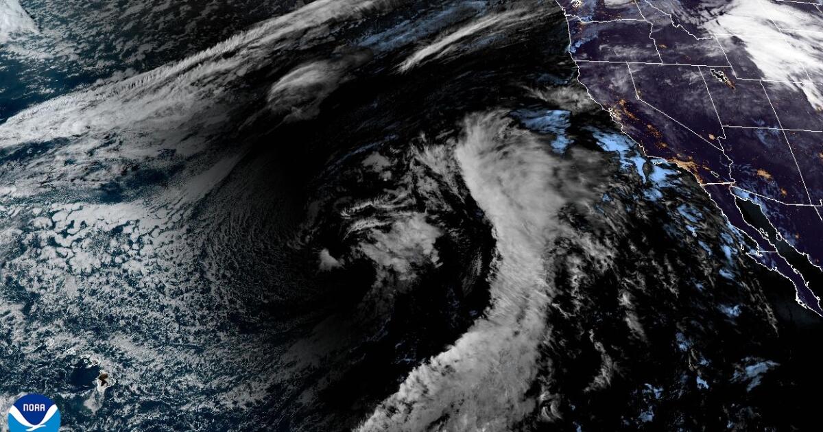
"A fast-moving atmospheric river is heading toward California this week and could pack a punch, with the possibility of periods of heavy rain, and a risk of flooding and debris flows in recently burned areas. After arriving in Northern California on Wednesday, the storm system is expected to land in Southern California on Thursday. It could produce the most rain downtown Los Angeles has seen in at least a month, and possibly since February."
""We're looking at moderate to locally heavy rain rates with this system," said Rose Schoenfeld, a weather service meteorologist in Oxnard, on Monday afternoon. "There is a chance of burn area flash flooding and debris flows," Schoenfeld added. Winds also could be an issue, with peak gusts of 50 mph along the Grapevine section of Interstate 5 and in the Antelope Valley."
"Most areas will experience around six to eight hours of precipitation, the weather service office in Onxard said. Heavy rain could fall over the course of one to three hours, with rates of up to three-quarters of an inch per hour. There's also a 20% chance of rain rates of as much as 1 inch per hour."
A fast-moving atmospheric river will reach Northern California Wednesday and Southern California Thursday. It could deliver periods of heavy rain and produce the most downtown Los Angeles rainfall in weeks, raising risks of roadway flooding, rockslides, mudflows and burn-area debris flows. Coastal and valley totals may reach 1 to 2 inches, with 2 to 4 inches in mountains and foothills. Precipitation will last roughly six to eight hours, with heavy bursts over one to three hours at up to three-quarters of an inch per hour and a 20% chance of 1 inch per hour. Gusts could peak near 50 mph on the Grapevine and be strong elsewhere.
Read at Los Angeles Times
Unable to calculate read time
Collection
[
|
...
]