#travel-impacts
#travel-impacts
[ follow ]
#winter-storm #heavy-snow #coastal-flooding #snow #mountain-snow #lake-tahoe #sierra-nevada #snow-squalls #snowfall
fromLos Angeles Times
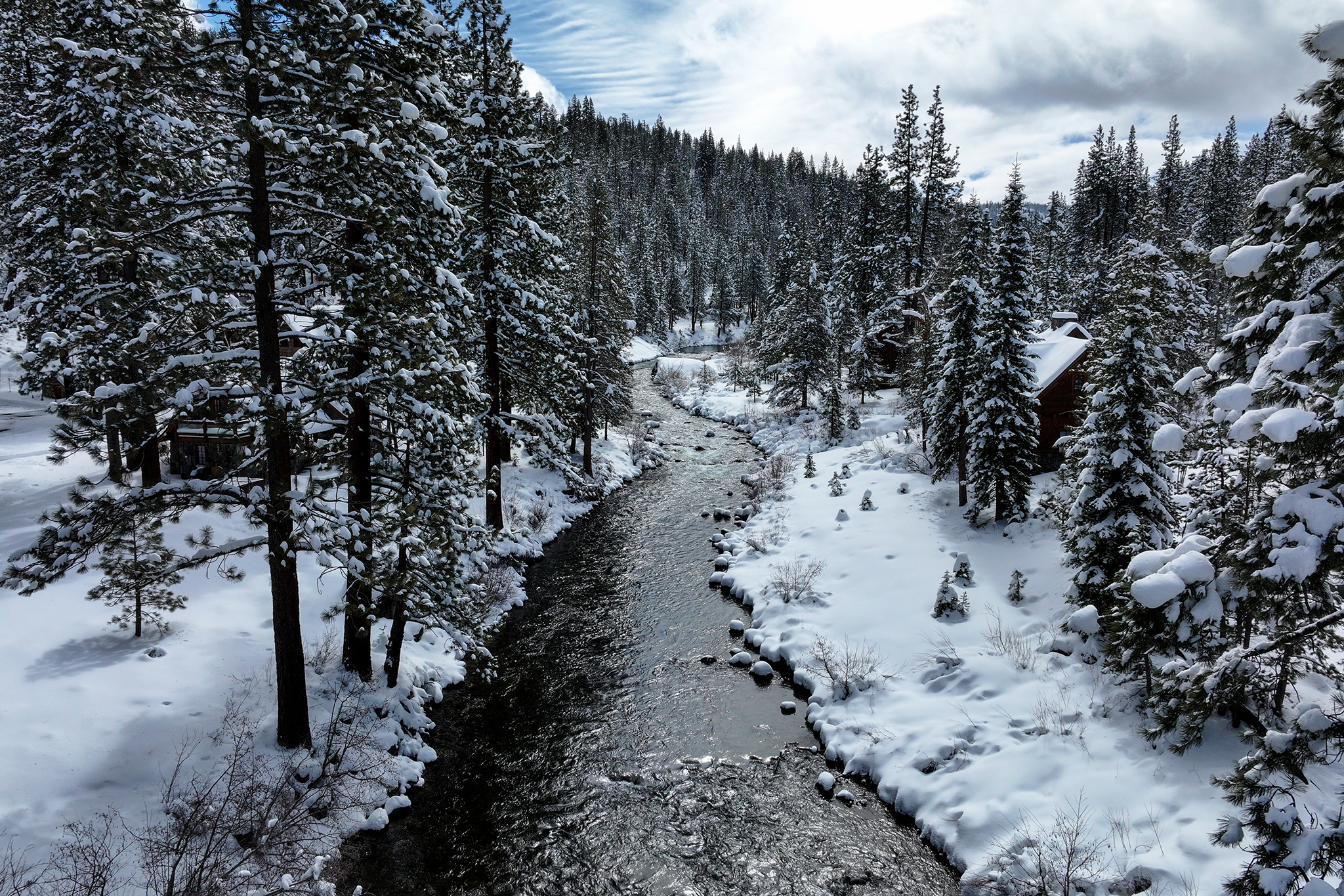
2 months agoA series of deadly California storms continues to bring more rain, snow and danger
Showers moving into the region from the Central Coast should bring steady rain to Ventura and Los Angeles counties Thursday morning, with frosty temperatures pushing snow levels lower than normal, potentially impacting commuters along the Grapevine, according to the National Weather Service. "Steady precipitation will taper off to showers by late this afternoon and become confined to the mountains by late tonight," the weather service posted in a Thursday morning forecast.
California


fromTime Out New York
3 months agoSnow might hit NYC this weekend-here's what to know
The setup started yesterday, when a storm system slid our way with big snow energy, only to get softened by a surge of warmer air. Instead of a full-on snow event, most of what falls in the city will arrive as a wintry mix, with rain doing most of the heavy lifting. Temperatures today will fall into the upper 30s and that's when the forecast officially enters "will it or won't it" territory.
New York City
fromAxios
4 months agoEastern U.S. faces heavy snow threats in days-long New Year's holiday storm
The NWS said on X the Great Lakes, Ohio Valley and Northeast faced potentially "hazardous driving conditions" on New Year's Eve from snow squalls - a sudden, brief but intense burst of snow that combines with strong, gusty winds. Threat level: The heaviest snow bands are expected over areas south of Buffalo, N.Y., including Syracuse and Tug Hill in the state and across to Erie, Pennsylvania.
US news
[ Load more ]