Europe news
fromenglish.elpais.com
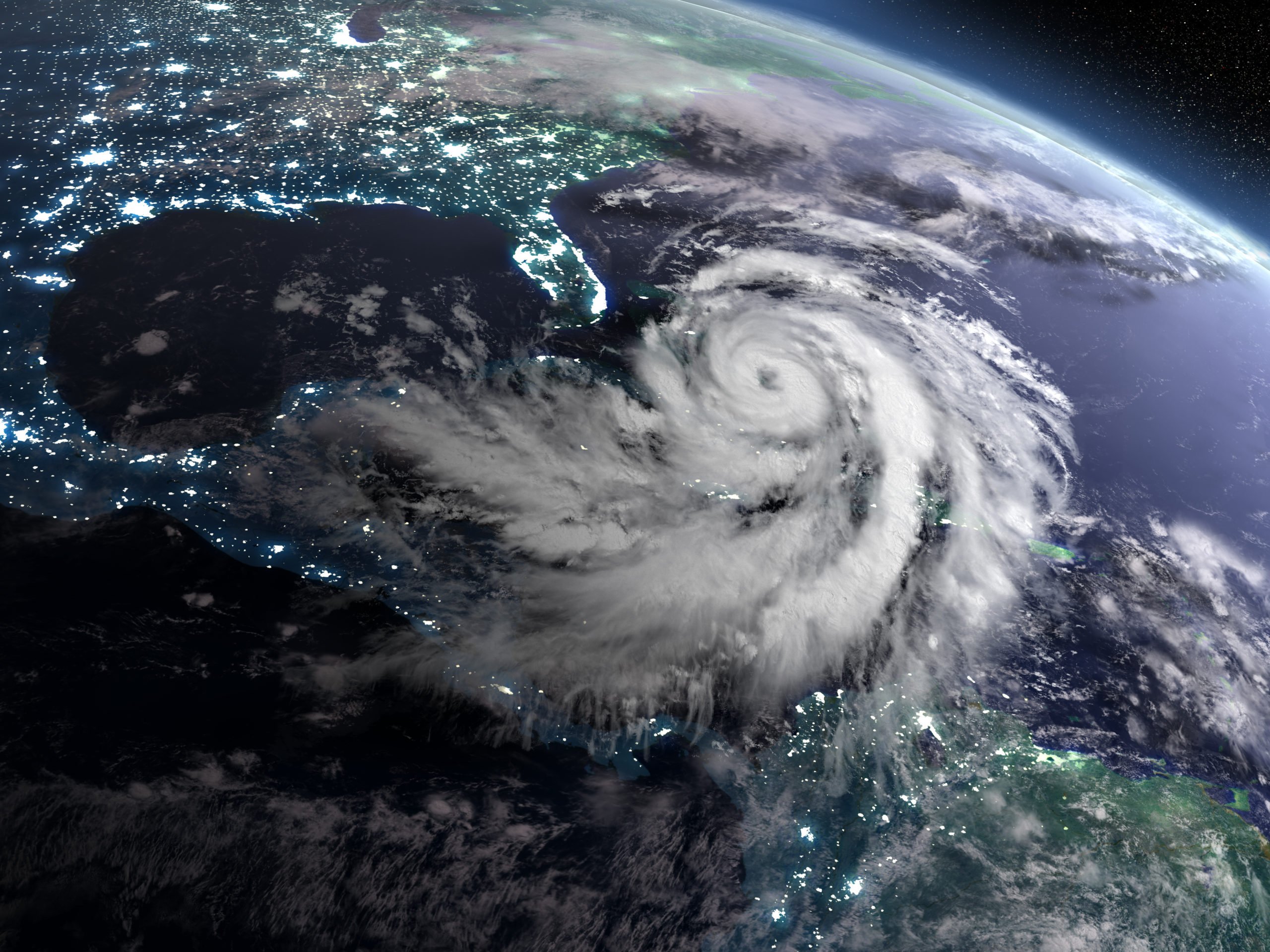
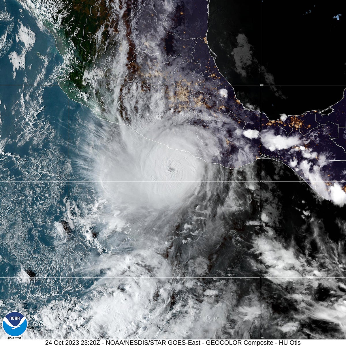
1 month agoFrom the nighttime lights of the rich to the blackouts caused by crises, this is how satellites capture the heartbeat of society'
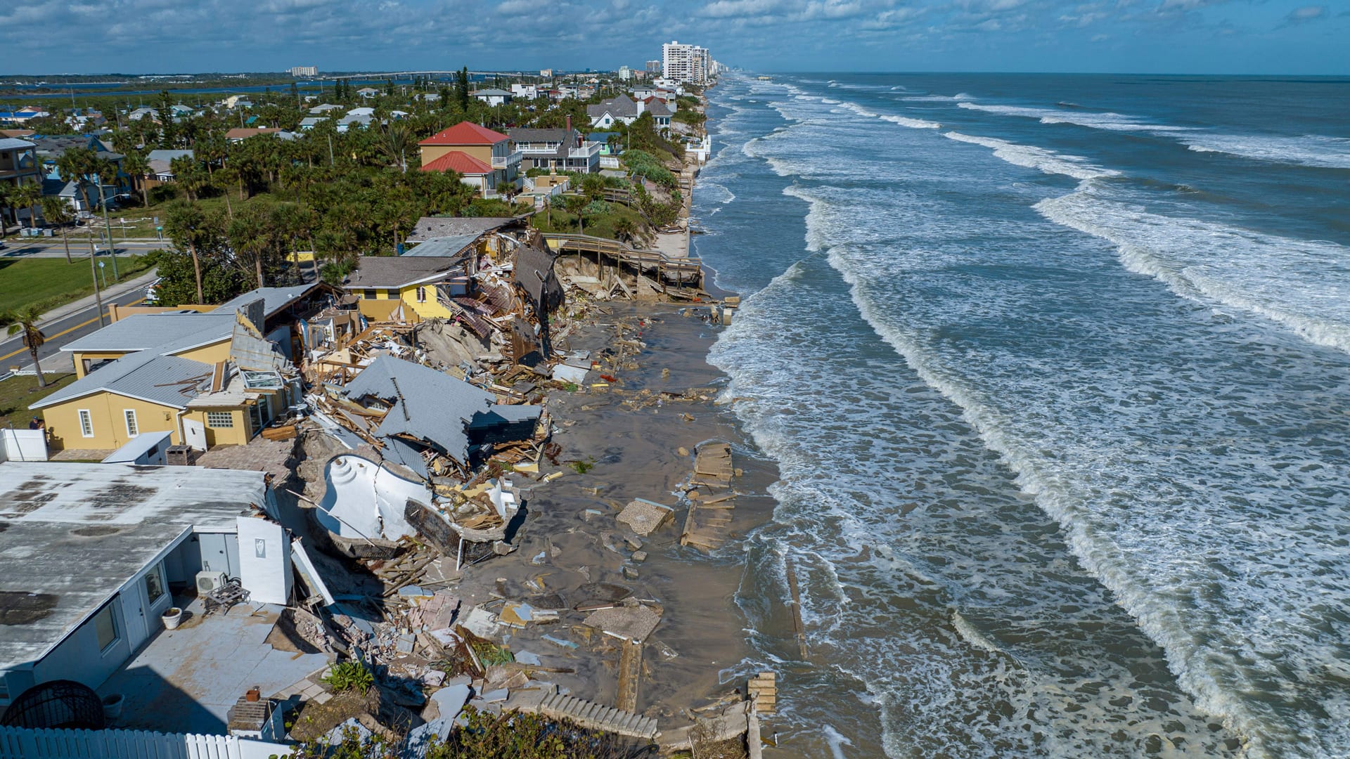
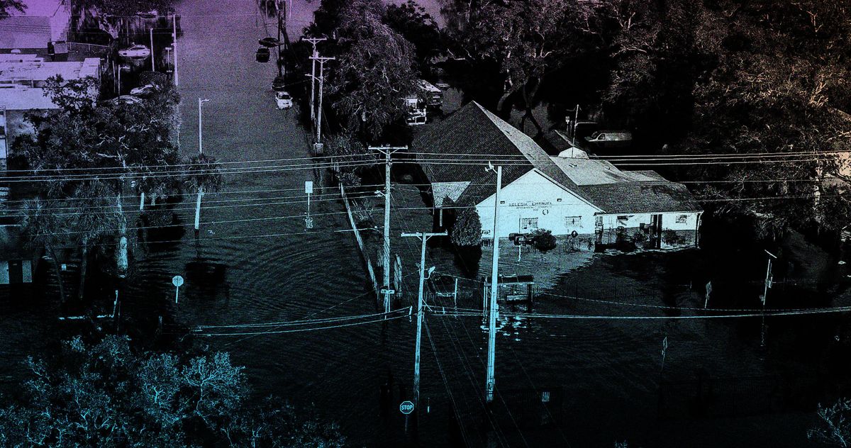
Light pollution is increasing globally, but some regions are experiencing a decrease due to crises or effective environmental policies.