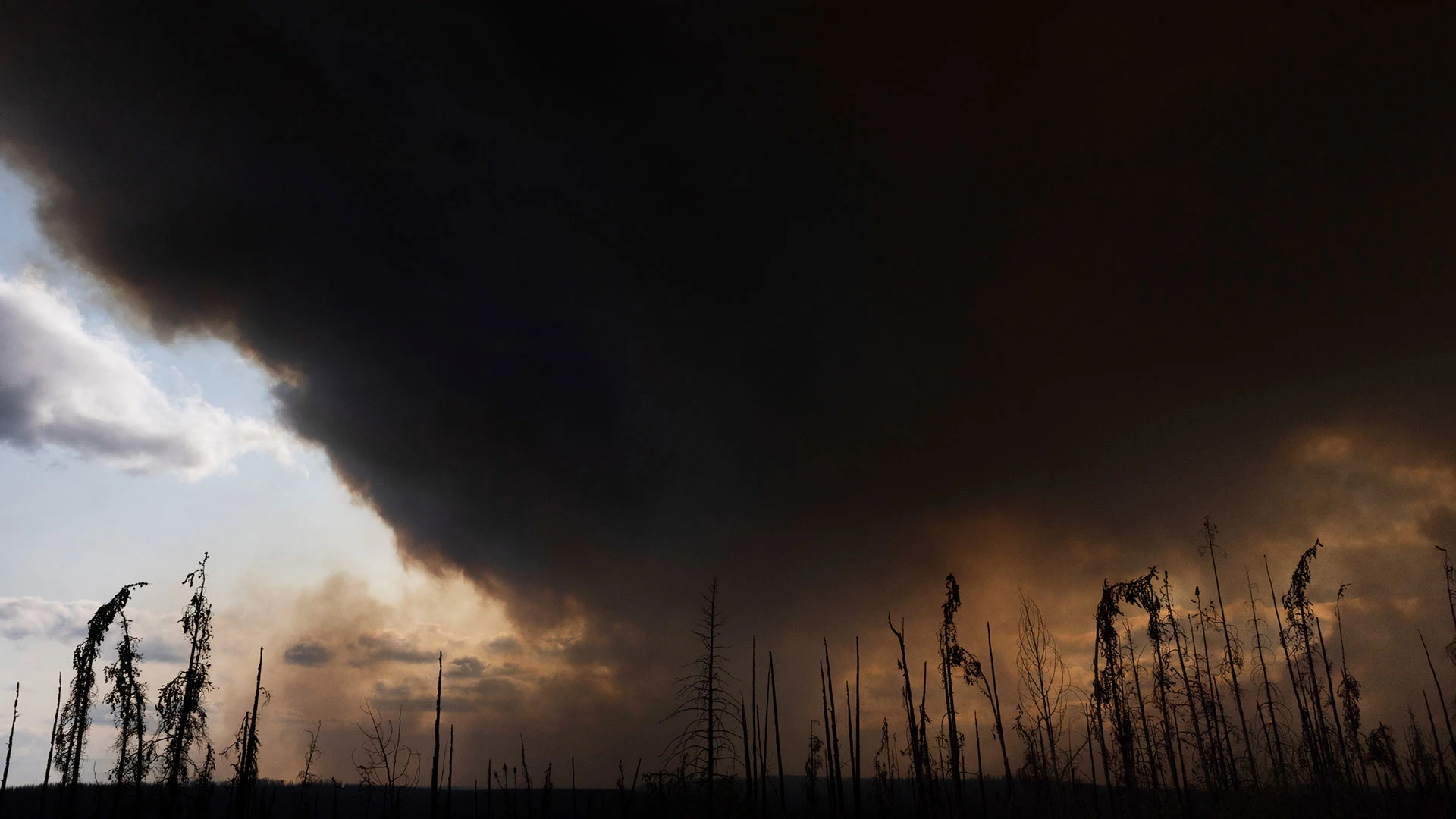
"As of Tuesday, that satellite had picked up four times as many fire hot spots across Canada than is typical for early June, highlighting a concerning trend."
"Based on data from the Canadian Interagency Forest Fire Centre, about 200 fires are actively burning in Canada and have consumed about 7,700 square miles (19,900 square kilometers) of terrain."
"The weather conditions, made more likely by climate change, have created a significant fire season, underscoring the impacts of human activity on wildfire frequency."
"Taken together, the hot spots and acres burned mean 2025 is the second-worst start to the season in years, following the record year of 2023."
The Canadian wildfire season of 2025 is off to a troubling start, with satellite data showing a dramatic increase in fire hot spots compared to historical averages. NASA satellites are detecting four times the typical number of hot spots for early June, marking it as one of the worst starts on record. More than 200 active fires have burned approximately 7,700 square miles, a trend exacerbated by climate change and human factors. Experts indicate that such conditions are likely to persist, hinting at a challenging and prolonged fire season ahead.
Read at Fast Company
Unable to calculate read time
Collection
[
|
...
]