fromState of the Planet
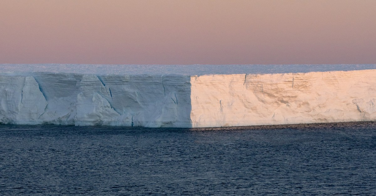
2 days agoAncient Antarctic Dust Reveals Signs of a Diminished Ross Ice Shelf
The research team found that dust from volcanic and ice-free regions around the Ross Sea replaced dust originating from South America, the dominant source during colder periods. This shift in origin they say reflects significant changes in the Ross Sea environment and regional wind patterns caused by a major retreat of the West Antarctic Ice Sheet.
OMG science