#guangdong-evacuations
#guangdong-evacuations
[ follow ]
#flooding #emergency-management #evacuations #hawaii #weather-warnings #fema #california #evacuation

fromwww.cbc.ca
6 days agoMinden, Ont., declares state of emergency after massive flooding | CBC News
The town declared a state of emergency Tuesday at 2:00 p.m., citing an increasing level of water on its Gull River which flows directly through the town and more rainy, warmer weather forecasted for the next five to ten days.
Canada news
SF politics
fromFortune
1 week agoSome communities are enduring unprecedented long waits on federal disaster requests, and Democrat-led states say they're being denied | Fortune
The Trump administration approved disaster declarations for seven states, enabling federal support for recovery from extreme weather events.

fromwww.theguardian.com
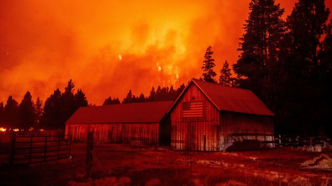
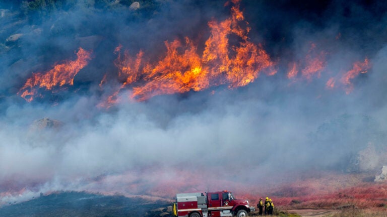
2 weeks agoEvacuations as two wildfires break out in southern California
The Springs fire in Riverside county has grown to 3,500 acres, prompting local authorities to issue several evacuation orders. The fire is concentrated in an area mostly north and east of Lake Perris, burning portions of the surrounding state recreation area.
East Bay (California)


Online Community Development
fromNextgov.com
1 month agoWhen disaster strikes, census data can help show who is in harm's way
The U.S. Census Bureau's OnTheMap for Emergency Management tool helps officials quickly estimate population and workforce data in disaster-affected areas to guide emergency response and recovery efforts.
fromABC7 San Francisco
1 month agoAt least 2 hospitalized following possible hazmat incident in Alameda, officials say
Two people have been taken to the hospital on Monday after possibly being exposed to hazardous materials in Alameda, officials said. Evacuations are underway at an apartment complex along the 700 block of Santa Clara Ave.
East Bay (California)
San Francisco
fromSFGATE
1 month agoWhy SF's emergency sirens will stay silent even amid Iran drone threat
San Francisco's emergency sirens have remained silent since 2019 due to unrepaired hardware and security issues, leaving the city reliant on alternative alert methods despite potential security threats.


Environment
fromIrish Independent
1 month ago'There are crocodiles everywhere' - thousands are evacuated after major floods in northern Australia
Flooding in Australia's Northern Territory has displaced crocodiles, increasing human danger as police warn against water contact due to aggressive saltwater crocodiles and fast-flowing rivers.

fromLos Angeles Times
2 months agoCalifornia storm closes roads, triggers flash flood warnings. Here's how long it will last
Californians looking to resume their weekly commute Tuesday awoke to see several major roads closed after heavy rains drenched much the state Monday - with the expected precipitation far from over. Among the closures was a section of Highway 1 through Big Sur, which state officials just weeks ago celebrated reopening for the first time in three years. The road closed Monday after rockslides left "debris in the roadway at multiple locations," according to the California Department of Transportation.
California
World news
fromSilicon Canals
1 month agoSingapore warns residents to avoid Pioneer, Jurong East and Bukit Timah as flash floods hit the city - Silicon Canals
Flash floods in Singapore's Pioneer, Jurong East and Bukit Timah submerged roads and disrupted daily life due to intense rainfall and saturated ground.
fromwww.eastbaytimes.com
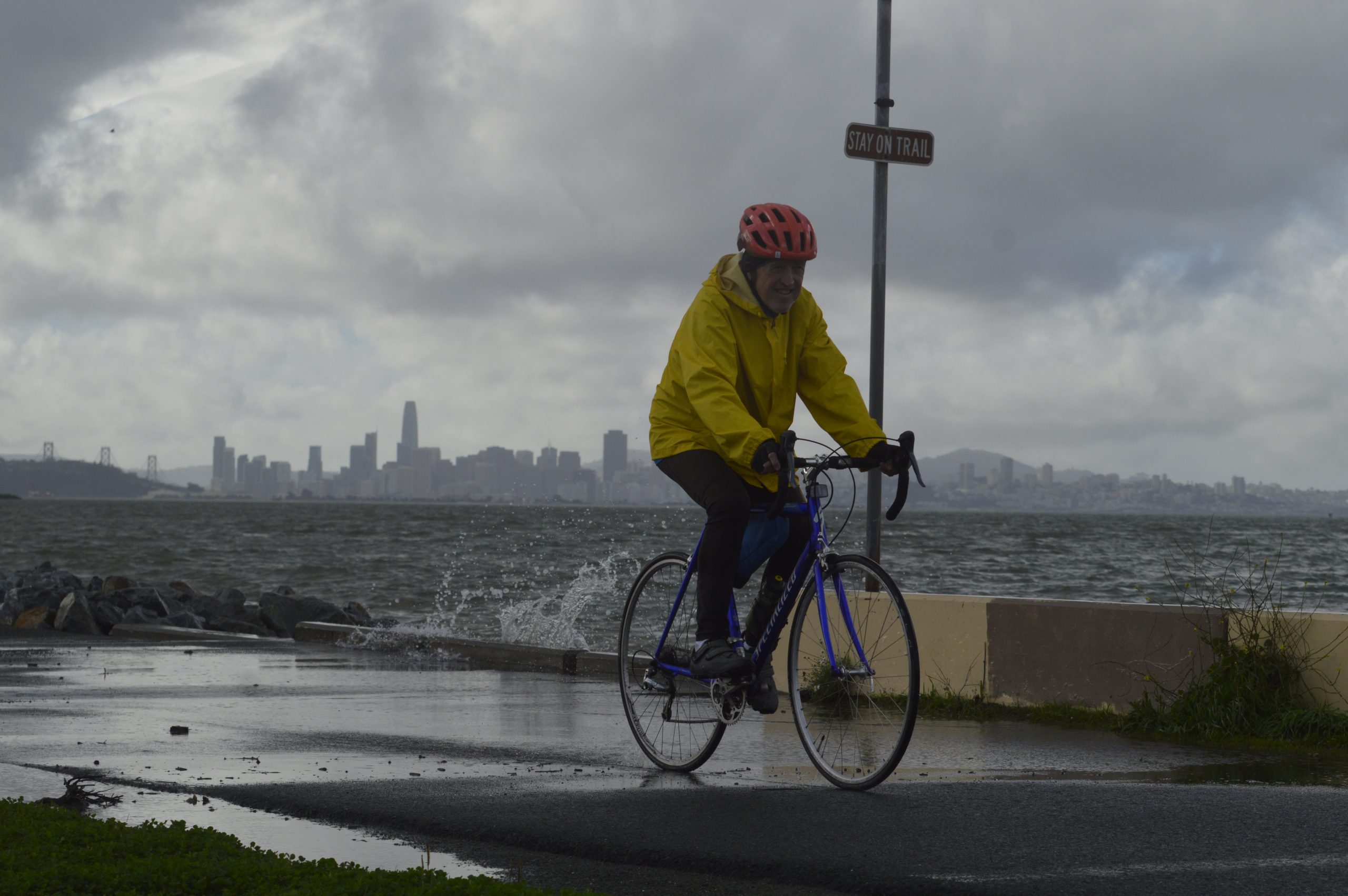
2 months agoNorth Bay Interior Valleys and San Francisco Bay Shoreline under a coastal flood advisory until Sunday midday
North Bay Interior Valleys and San Francisco Bay Shoreline are included in a coastal flood advisory released by the National Weather Service on Saturday at 4:04 a.m. The advisory is in effect until Sunday Feb. 1, at noon. Up to 1.3 ft of inundation above ground level is possible in low-lying areas near shorelines and tidal waterways, can be expected according to the NWS San Francisco CA.
San Francisco
fromLos Angeles Times
2 months agoSouth El Monte residents ordered to shelter in place as warehouse buildings burn
"It's going to be an incident that goes throughout the night because of the materials involved," Navarre said. "We have heavy equipment here that's going to help us break down the building and continue to put the fires out."
California
Miscellaneous
fromIrish Independent
2 months ago'The rain has nowhere to go' - more flooding fears amid 'worst case scenario' as eight counties under weather warning with rivers at risk
Government cannot instantly deliver comprehensive flood relief; it will provide short-term humanitarian support and pursue complex, phased planning and construction.
fromMail Online
2 months agoEarthquake strikes California as warnings trigger panic for thousands
Thousands of Californians received earthquake warnings on Thursday after a 4.7-magnitude tremor shook Northern California. The US Geological Survey (USGS) issued a ShakeAlert after the quake struck at 4:49am PT (7:49am ET), about 70 miles offshore of Petrolia. ShakeAlert messages are triggered when seismic sensors detect a quake of magnitude 4.5 or higher expected to cause significant shaking. The epicenter was located 190 miles west of Chico, a city of about 121,000 residents, and 65 miles west-southwest of Fortuna, which has roughly 12,000 residents.
US news
fromLos Angeles Times
1 month agoA series of deadly California storms continues to bring more rain, snow and danger
Showers moving into the region from the Central Coast should bring steady rain to Ventura and Los Angeles counties Thursday morning, with frosty temperatures pushing snow levels lower than normal, potentially impacting commuters along the Grapevine, according to the National Weather Service. "Steady precipitation will taper off to showers by late this afternoon and become confined to the mountains by late tonight," the weather service posted in a Thursday morning forecast.
California


[ Load more ]