UK news
fromwww.independent.co.uk
1 day agoArctic winds to bring midweek cold snap and frost to UK
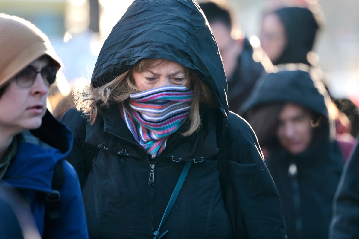
Arctic air is expected to bring colder-than-average temperatures, ground frost, and possible wintry showers to the UK in the coming days.
"Gusty winds will drop wind chill to -15° to -25° by Sunday morning." National Weather Service: 'Dangerously low wind chills are becoming more likely for this weekend' [Today] Temperatures warmer than what we've been seeing continue today, with highs generally around freezing for most. Light winds expected with continued dry conditions. Lows tonight fall back into the teens and single digits. #MAwx #RIwx #CTwx pic.twitter.com/O8KCXoztRU- NWS Boston (@NWSBoston) February 3, 2026
Right now, forecast models are split. Some keep the storm far enough out to sea to spare New York City from snowfall but others show snow reaching coastal New Jersey and Long Island late Saturday into Sunday. A shift of just 50 to 100 miles in either direction could change everything, from rain versus snow to whether the city sees accumulation at all.
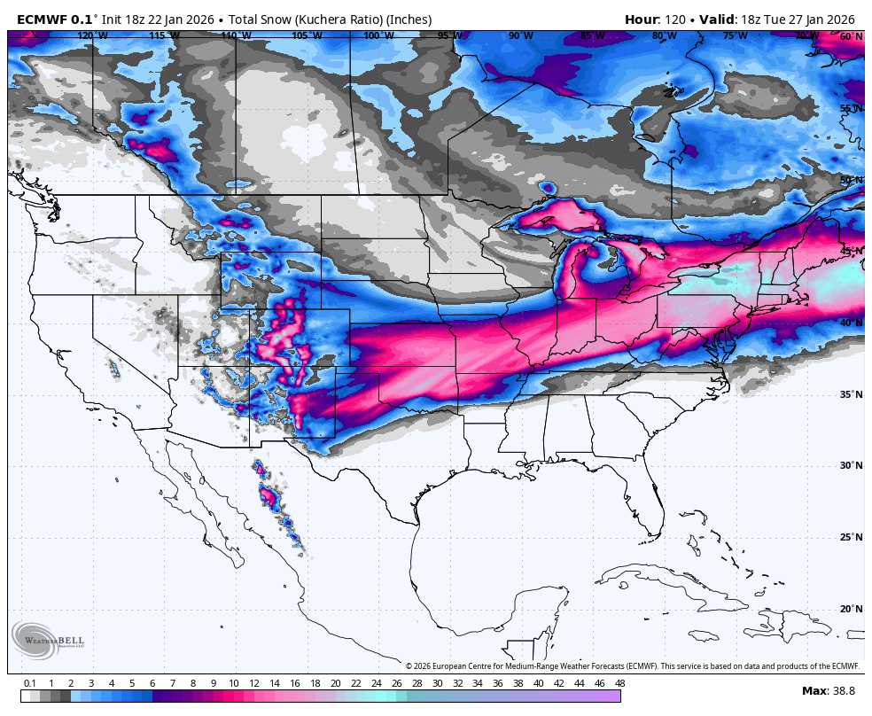
Arctic air and a Friday-Saturday storm deliver the best Colorado refresh to the southern and central mountains, with lighter but high-quality snow farther north. Snow levels start modestly higher early, then crash through the event, so conditions trend drier and fluffier as temperatures drop into Saturday night and Sunday morning; next week looks milder and mostly quiet after the cold weekend.
Londoners have taken to social media to share their excitement about the first snow of the season, posting pictures and video from Twickenham to Cricklewood. You would think Londoners are cold-deprived from the way they have reacted to the fresh snowfall. One user on X said: I can't believe it's snowing in St.John's Wood, London. It's only November! Another user celebrated: first time seeing snow in london!!