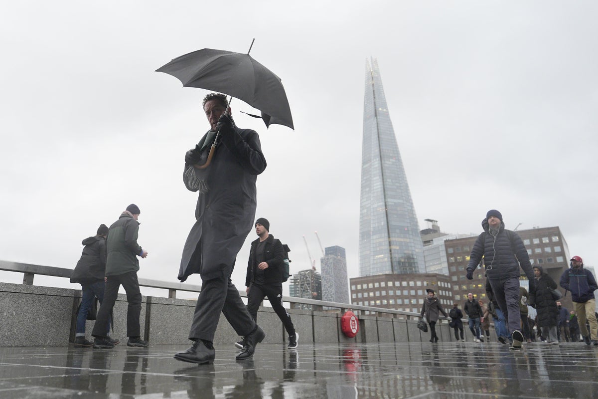
"Arctic air movement is expected to bring colder-than-average temperatures and ground frost to the UK. Cold air moving in from the north will bring a brisk northerly breeze over the next few days, the Met Office said, warning overnight temperatures may drop to around freezing or even below, causing unseasonably late frosts in some areas."
"Daytime temperatures will see highs of 16 to 17C on Tuesday before dropping to 13 to 14C more widely across the country, with some easterly locations struggling to even get into double figures. Britons enjoyed sunny spells in the capital on Saturday (AFP/Getty) The unseasonal turn comes after May started with a scorching 25.4C recorded in Kew Gardens and Heathrow."
"Even on Saturday, the UK saw temperatures warmer than Madrid, with a steady 21C recorded across the capital and parts of the south of England. Now, the forecaster has predicted chilly temperatures, ground frost, and even the potential for some wintry showers along the highest tops. Grahame Madge, a Met Office spokesperson,"
Arctic air movement is expected to bring colder-than-average temperatures to the UK, including ground frost. Cold air from the north will bring a brisk northerly breeze over the next few days. Overnight temperatures may drop to around freezing or below, leading to unseasonably late frosts in some areas. Daytime highs are expected to reach 16 to 17C on Tuesday before falling to 13 to 14C more widely across the country. Some easterly locations may struggle to reach double figures. The colder period follows a warm start to May, including a 25.4C reading at Kew Gardens and Heathrow, and 21C in parts of London and southern England. The forecast also includes the potential for wintry showers along the highest tops.
Read at www.independent.co.uk
Unable to calculate read time
Collection
[
|
...
]