London
fromwww.standard.co.uk
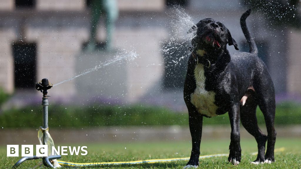
5 days agoWildfire alert for London as temperatures soar in heatwave towards record 33C for May
London faces heightened wildfire risk as warm, dry conditions increase grass growth and dryness, prompting bans and safety steps around barbecues and cigarettes.