Marketing tech
fromForbes
1 week agoThe New Frontier Of GEO Demands An Integrated Approach
AI has transformed search optimization, requiring a unified approach across departments to enhance brand visibility and trustworthiness.
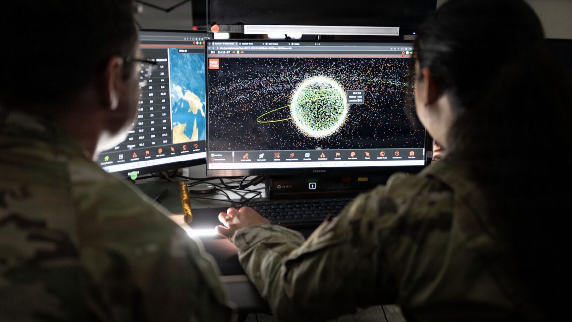
On February 28, ships navigating the Strait of Hormuz started appearing on tracking screens in places they couldn't possibly be. They appeared to be sitting on airport runways, parked on Iranian land, and clustered at nuclear power plants. More than 1,100 commercial vessels had their navigation systems scrambled in a single day following US-Israeli airstrikes on Iran, bringing a waterway that handles a fifth of the world's oil exports to a halt.
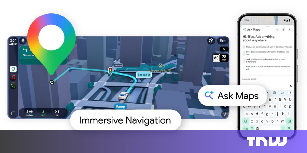
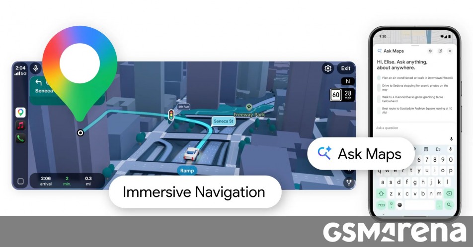
The new Immersive Navigation mode introduces a detailed 3D map that includes buildings, overpasses, crosswalks, traffic lanes, traffic lights, and stop signs. Google bills this new mode as being the most significant update in over a decade to the app's driving experience. According to the American IT giant, the changes should help drivers stay focused and informed on the road, with Maps giving fresh, real-world information and natural directions.
Signals from Global Navigation Satellite Systems are quite vulnerable. They are exceptionally weak, meaning that any radio noise near their frequency, accidental or malicious, can interfere with reception. I am confident that there are people in every government who understand the problem. The challenge is getting leadership to both understand and act to reduce the risk.
After writing about Google Maps for nearly 15 years, I've learned firsthand that it's packed with hidden settings, menus, and toggles. Many help you fine-tune the app to your liking, while others unlock new features you probably didn't know existed.
Apple's satellite features were originally designed for emergencies, allowing iPhone users to contact emergency services when cellular and Wi-Fi coverage is unavailable. With recent versions of iOS, Apple has expanded those capabilities to include sending and receiving messages via satellite. This makes it possible to stay in touch with friends and family from remote locations where traditional networks do not reach, such as hiking trails, rural areas or offshore locations.
The other day we were scrolling through r/meshtastic and someone asks: "Why does my device show 10+ satellites in view while my buddy's barely sees 8?" Good question. Really good question, actually. And it's about to take us down a rabbit hole that involves atomic clocks, Cold War competition, European independence, and why your Meshtastic node cares about all of this.
By the end of the year, Northwood, based in El Segundo, California, had shown the ability to build eight of these Portal arrays a month. And in January the company had deployed operational Portal antennas across two continents. These deployments, which comprise an area of 8 to 15 meters, have the equivalent capability of a 7-meter parabolic dish, said Griffin Cleverly, co-founder and chief technical officer of Northwood.
We will be trekking the eastern part of the Great Himalaya Trail in Nepal in March/April. Details on the route and our plans can be found at https://greathimalayatrail.de. Our intent is to keep friends and family updated on our progress. Given that we'll be hiking in quite remote areas, a satellite phone/pager will be our sole means of communication. After the Garmin inReach Mini 3 was released recently, the Inreach Mini 2 was on heavy sale.