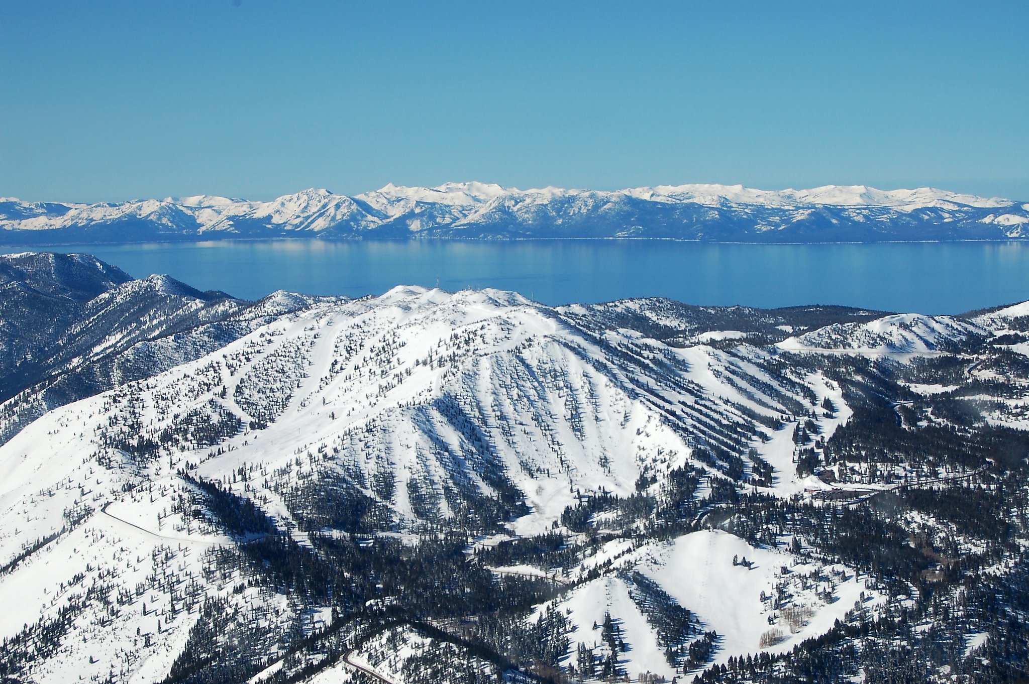
"Though the storm, which intensified Thursday, is bringing strong winds, heavy rain showers and snow, the strongest conditions will likely remain only in the higher elevations. A National Weather Service winter weather advisory is in effect for the greater Lake Tahoe area above 8,000 feet from 10 p.m. Thursday until noon Friday, and a wind advisory that's in effect until 10 p.m. Thursday predicts gusts up to 100 mph along the ridgetops."
""Initially, when we were forecasting, it had different storm tracks. It was a little bit farther east and more progressive. And as the days went on this week, it became slower. It took more of a western trajectory, and a little bit farther south," Salas said. "And kind of the result of that is it never really put us into that colder air to lower those snow levels. It stayed a little bit too far offshore.""
Forecasts now call for reduced snow totals for the Tahoe region, with the heaviest snowfall confined to higher elevations. Unseasonably warm conditions kept snow levels elevated, and the storm's more western and southerly track prevented colder air from lowering snow levels at lower elevations. A winter weather advisory covers areas above 8,000 feet and a wind advisory warns of ridgetop gusts up to 100 mph. The storm will arrive in two waves, with the first bringing roughly six inches above 8,000 feet and only minor accumulations at lower elevations, and a second wave expected around Saturday afternoon.
Read at SFGATE
Unable to calculate read time
Collection
[
|
...
]