#ncar
#ncar
[ follow ]
#climate-science #climate-research #supercomputing #weather-forecasting #us-national-science-foundation #ucar


US politics
fromLos Angeles Times
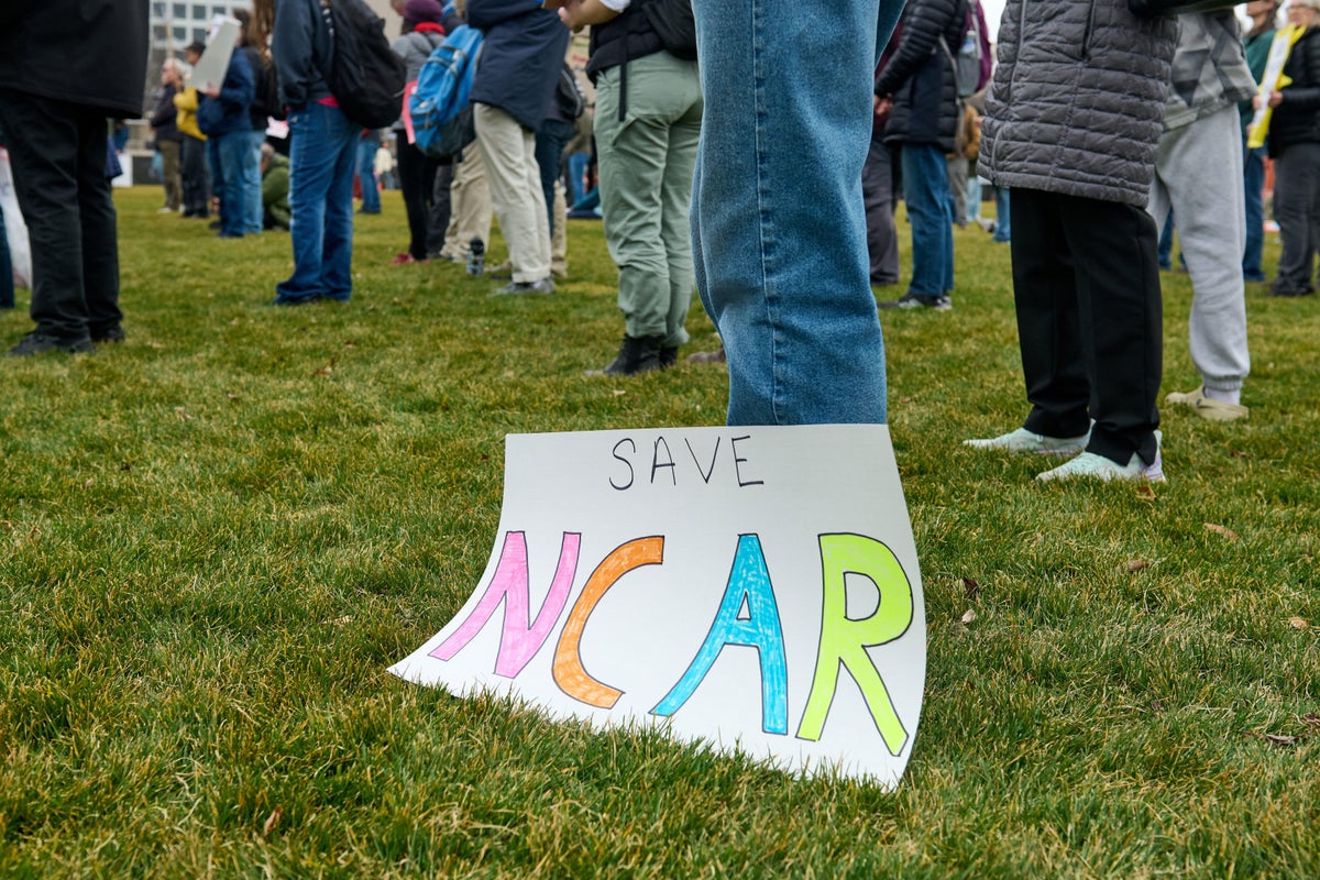
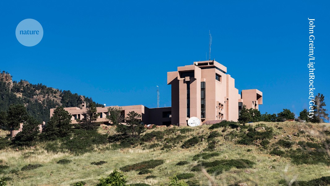
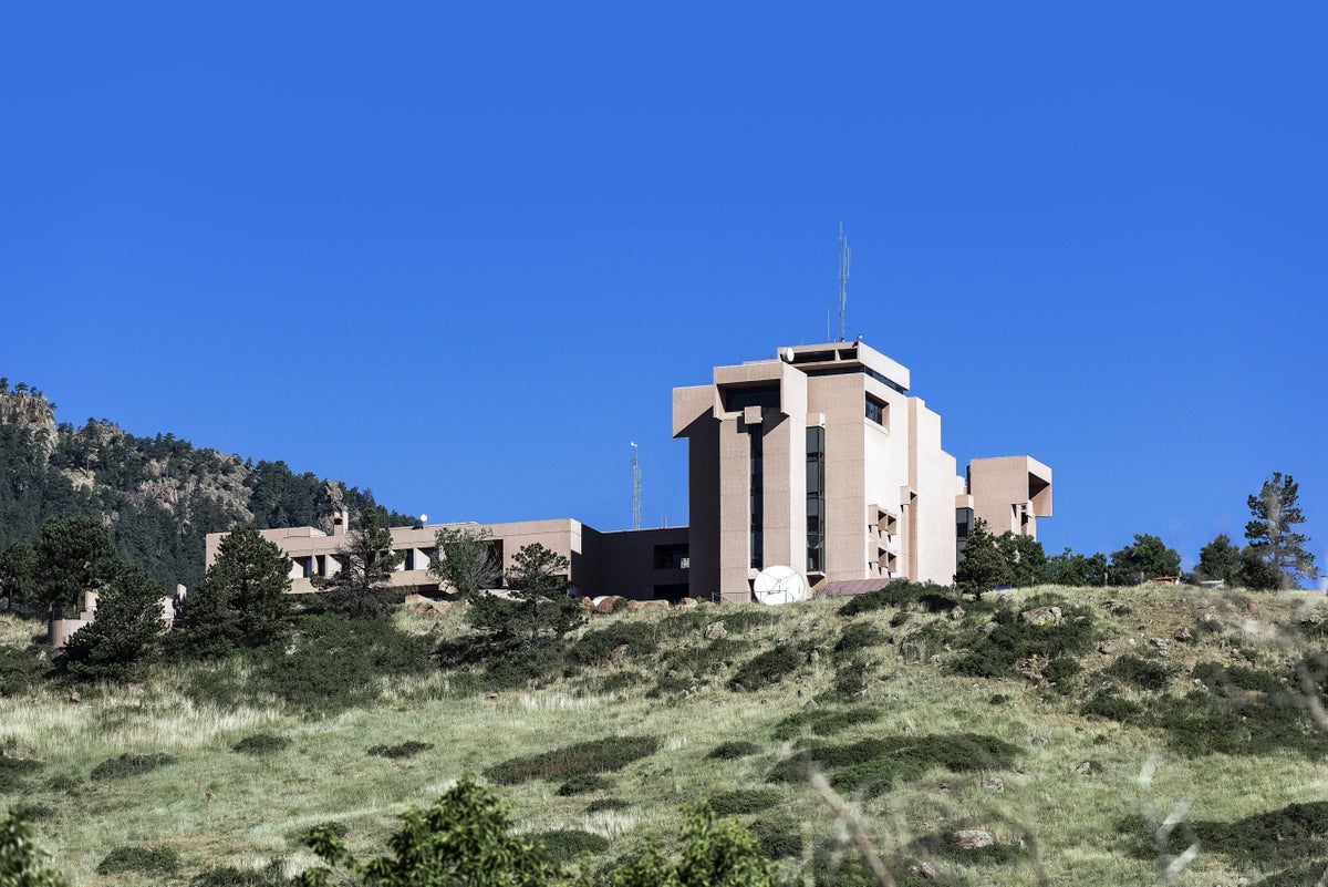
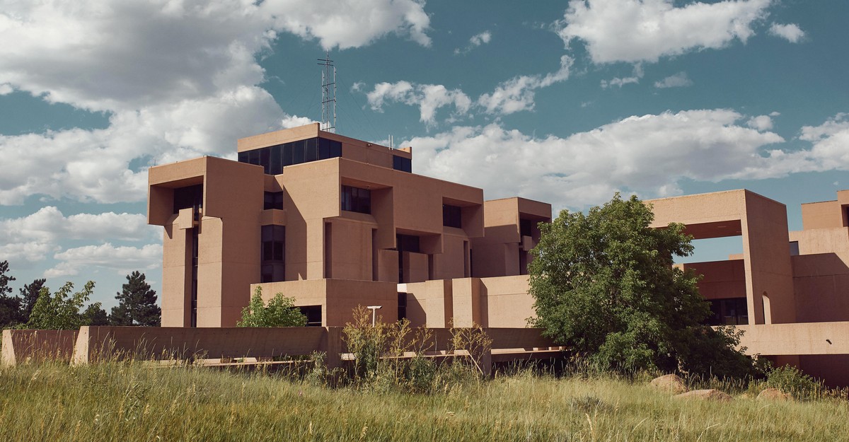
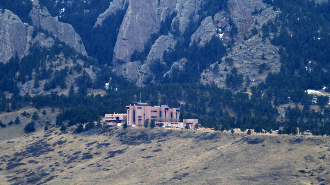
4 months agoTrump administration moves to dismantle leading climate and weather research center
The Trump administration is moving to dismantle the National Center for Atmospheric Research, risking U.S. climate and weather science capacity and public safety in forecasting.
[ Load more ]