fromFOX Weather4 months agoNew York CitySnow possible in major Northeast cities like New York City and Boston to ring in New Year's Eve celebrations
fromTime Out New York4 months agoNew York CityNYC's white Christmas chances aren't looking great this year
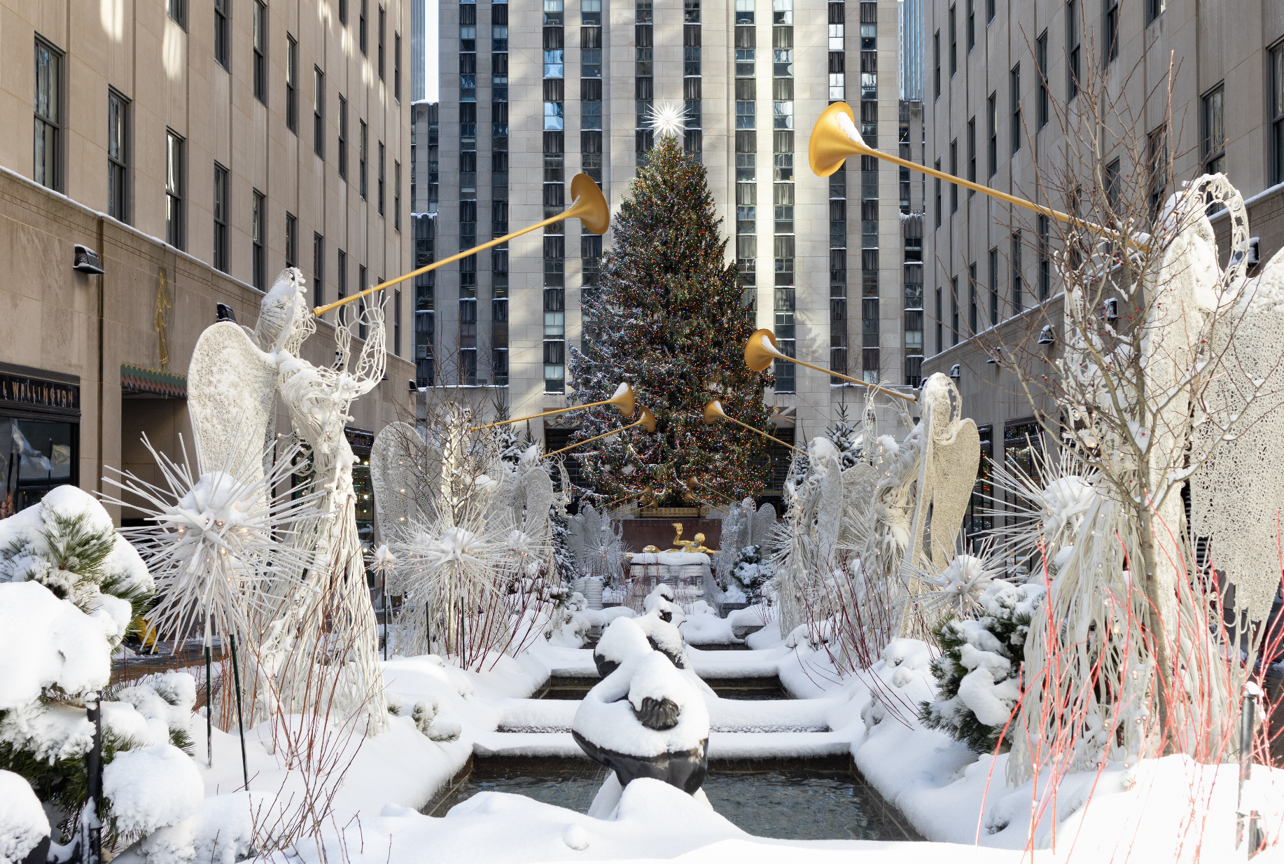
fromFOX Weather4 months agoNew York CitySnow possible in major Northeast cities like New York City and Boston to ring in New Year's Eve celebrations
fromTime Out New York4 months agoNew York CityNYC's white Christmas chances aren't looking great this year
EnvironmentfromFOX Weather4 months agoSnow possible in New York City and Boston for New Year's Eve celebrationsNew York City may see a light, sporadic dusting on New Year's Eve while western Pennsylvania and West Virginia could receive 3–5 inches of snow.
San Franciscofromsfist.com10 months agoClipper Card System Goes Down, Free-For-All Ensues For BART and MuniA widespread outage in the Clipper system allowed for free rides on BART, Muni, and Caltrain.