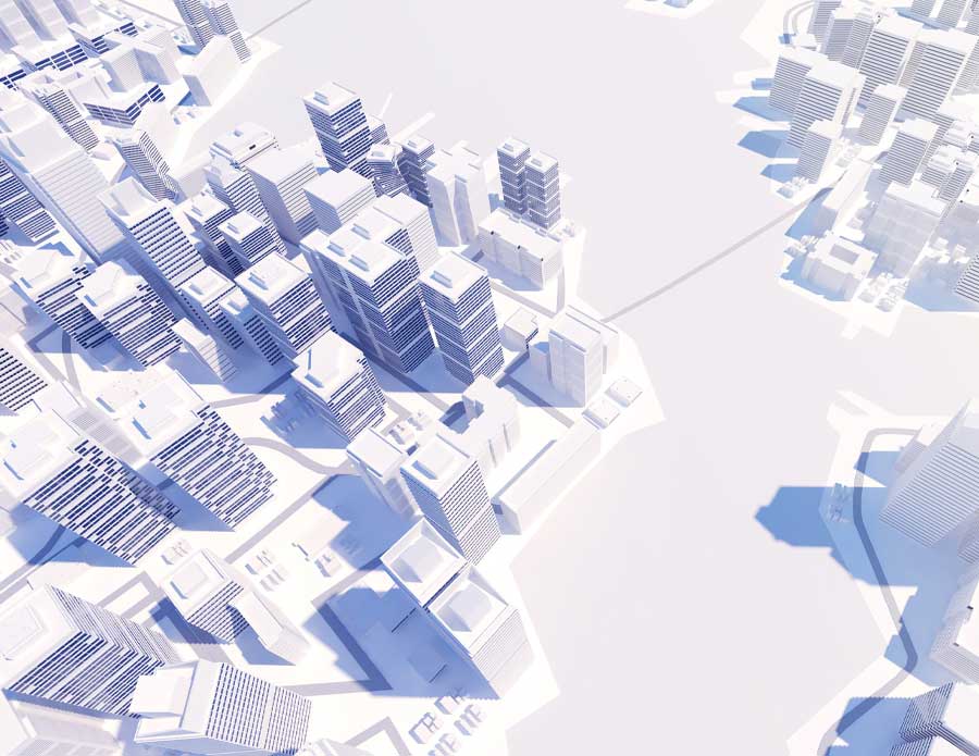
"According to the companies, this approach supports more detailed and dynamic modeling of urban, transportation, and energy systems. Integrating GIS with realtime 3d simulation Esri's ArcGIS Maps SDK can be used within Unity to render geographic data in 3D. This enables users to simulate urban spaces, infrastructure networks, and environmental conditions interactively. Unity's 3D engine allows for real-time visualization of data such as pedestrian movement and infrastructure usage."
"A demonstration project includes a digital twin of the San Diego Convention Center. This model uses the ArcGIS 3D tiling system and Unity's Universal Render Pipeline to represent the venue and surrounding areas in 3D. Applications demonstrated include: Environmental simulations: Modeling of solar panels, wind turbines, and weather effects based on data inputs. Crowd modeling: AI can simulate pedestrian movement based on recorded or hypothetical traffic patterns. Transit optimization: Simulations can calculate how different scenarios affect peak-hour transit."
Unity Technologies and Esri integrated GIS data with Unity's real-time 3D engine to enable interactive visualization and simulation of geographic data. Esri's ArcGIS Maps SDK can be used within Unity to render 3D geographic data, enabling simulation of urban spaces, infrastructure networks, and environmental conditions, with real-time visualization of pedestrian movement and asset usage. Key applications include AI-driven pedestrian traffic modeling, infrastructure optimization for transit hubs and evacuation routes, and dynamic 3D asset management. A demonstration digital twin of the San Diego Convention Center uses ArcGIS 3D tiling and Unity's Universal Render Pipeline for environmental, crowd, and transit simulations; the demonstration was shown on the Acer Spa.
Read at App Developer Magazine
Unable to calculate read time
Collection
[
|
...
]