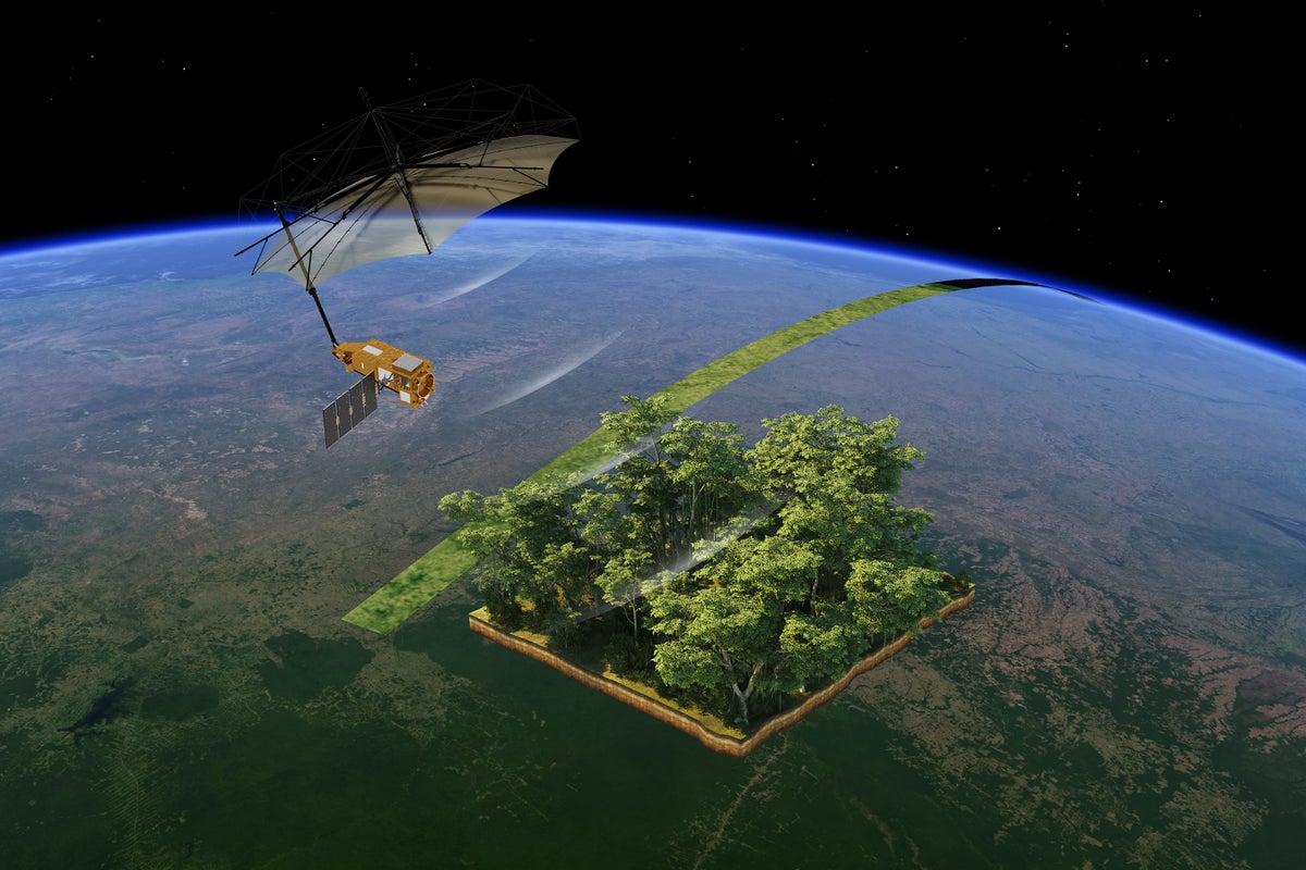
"The European Space Agency's Biomass satellite, launched recently, employs advanced radar technologies to analyze forests and ecosystems, showcasing capabilities to assess Earth's woody biomass and track ecological changes."
"Recent images released by ESA reveal distinctive ecological features of the Bolivian rainforest, illustrating the satellite's ability to discern forests, water bodies, wetlands, and grasslands based on radar data."
"Bolivia ranks among the top 10 countries for tree cover loss, having experienced a 15 percent reduction in forest cover since 2000, significantly driven by agricultural expansion and cattle ranching."
"The Biomass satellite is expected to enhance understanding of how forests contribute to carbon flows, aiding global efforts to monitor deforestation and the impacts of climate change."
The European Space Agency's Biomass satellite has begun revealing detailed images of Earth's ecosystems, particularly forests. Launched just two months ago, it uses advanced radar technology to peer through dense vegetation and assess woody biomass across global terrains. This innovative approach allows for monitoring deforestation trends and understanding carbon flow in ecosystems. The satellite's first images display the unique ecological features of the Bolivian rainforest, showcasing significant changes in forest cover due to agricultural expansion. Scientists anticipate that this data will enhance knowledge of climate change and conservation efforts.
Read at www.scientificamerican.com
Unable to calculate read time
Collection
[
|
...
]