""I was crossing the street from Gus's, a car pulled out in front of me making a left hand turn going down 4th Street. He could have hit me if I was just a couple of feet further.""
""It's really great that we are doing that and identifying them. It's going to be very powerful tool.""
""There's a lot of pedestrian and bike activity there. I'm glad to hear that.""
""Daylighting at intersections-- which is basically removing parking spaces so there is better visibility.""
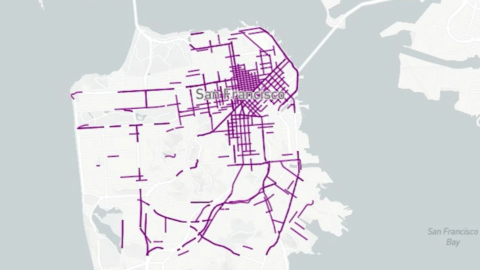
SFMTA has unveiled a new map detailing streets in San Francisco with the highest collision rates involving drivers, pedestrians, and cyclists. The report follows a tragic incident where a 2-year-old girl was killed. Pedestrian advocate Nancy Botkin praised the identification of high-injury locations as a powerful tool for safety. Improvements have been noted in some areas, such as SOMA, where changes have reduced collisions. However, Supervisor Matt Dorsey pointed out that the report does not account for recent safety measures like speed enforcement cameras and daylighting at intersections.
Read at ABC7 San Francisco
Unable to calculate read time
Collection
[
|
...
]