""We are tracking more snow within this system," said Gigi Giralte, a meteorologist with the weather service's Reno office, noting February storms had area-wide impacts. "The last significant storm we had had multiple waves. This storm is bringing heavier snowfall rates, and we've got some larger snowfall totals we're expecting right now.""
"Because of the fluffier nature of the snow, there may be more volume. "We can get more accumulation just because the snowfall-liquid ratio is such that there'll be more snow produced from one inch of liquid," she added."
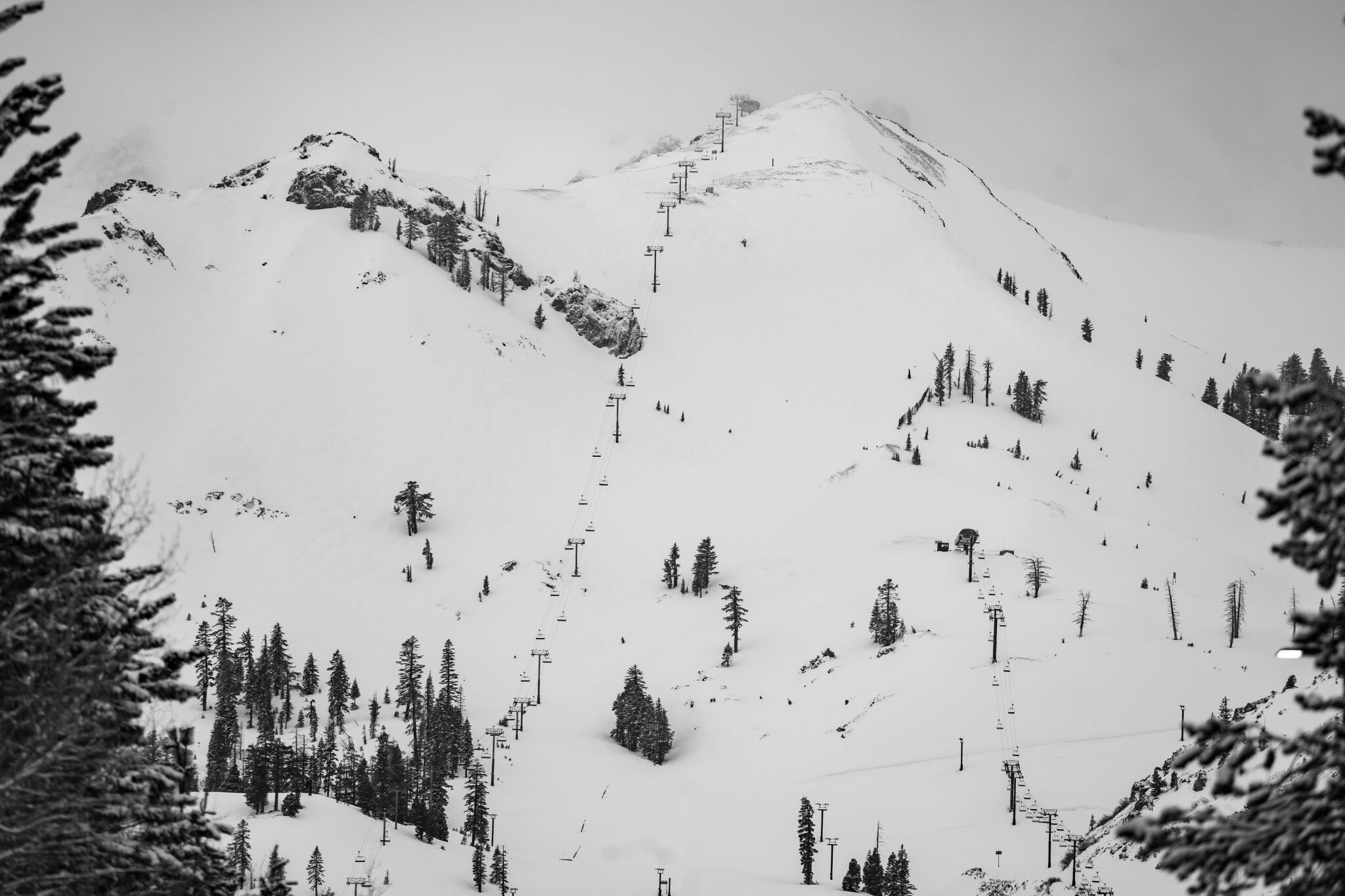
A significant winter storm is anticipated to hit the Sierra Nevada, beginning Tuesday evening, with forecasts indicating up to 3 feet of snow in higher elevations and hazardous travel conditions due to strong winds and heavy snowfall. The National Weather Service has warned of near whiteout conditions, particularly in the greater Lake Tahoe area. Meteorologists predict this storm will produce some of the heaviest snowfall rates of the season, albeit with lower moisture content compared to previous storms. Residents and travelers are advised to prepare for adverse travel conditions.
Read at SFGATE
Unable to calculate read time
Collection
[
|
...
]