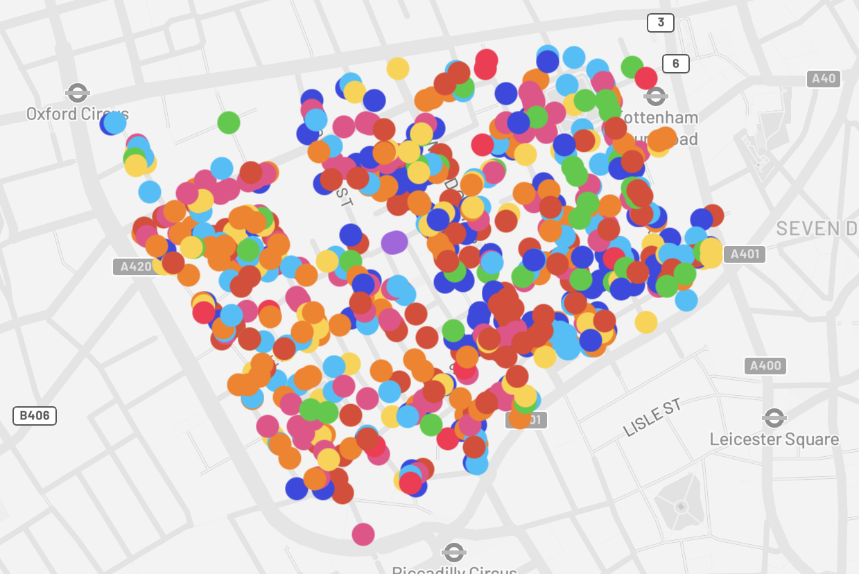
Soho evolved from 16th-century farmland to a cosmopolitan area known for shops, bars and private members clubs. A new interactive Soho Visual Heritage Map documents the area's history and architecture with photographs of blue plaques, historic street signs and quirky features like the seven noses. The map displays street furniture, architecture, ghost signs, street art and industrial remnants and offers filters to view specific features such as public toilets. The map aims to preserve Soho's history and guide sensitive future development. The Neighbourhood Forum expects the map to serve residents, visitors, planners and heritage bodies.
"Created by the Soho Neighbourhood Forum, with the help of urban design and research firm Publica and Bahar Durmaz Drinkwater, a Soho resident with a PhD in architecture, the Soho Visual Heritage Map documents Soho's past through photos - from blue plaques, to historic street signs, and quirky features like the seven noses. Clicking through the map, users can see photographs of street furniture, architecture, street signage, ghost signs, street art, remnants of the industrial past such as cobbles and cranes, and much more."
"The aim of the map isn't only to create a fun online place to explore the fascinating streets of the neighbourhood, but to preserve its history and inspire future developments to retain Soho's charm. 'The heritage audit will help ensure Soho's historic built fabric remains a source of pride and celebration for years to come,' the Soho Neighbourhood Forum said in a statement."
Read at Time Out London
Unable to calculate read time
Collection
[
|
...
]