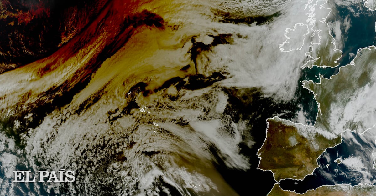
"The European Organization for the Exploitation of Meteorological Satellites has released photos of Earth taken by its advanced satellite, Meteosat-12, capturing the true image of the eclipse."
"Eclipses occur roughly every six months when the Sun and Moon align. The March 29, 2025, eclipse was partial because the Moon's umbra did not reach Earth."
The recent partial solar eclipse stirred emotions across the Atlantic, but satellite imagery from EUMETSAT's Meteosat-12 provided clarity. The images reveal a shadow sweeping across the Northern Hemisphere, primarily affecting northeastern Canada and Greenland, marking the event's peak. The eclipse, occurring as the Sun and Moon nearly aligned, was only partial due to the Moon's umbra not reaching Earth. Instead, the lighter penumbra projected across various regions. Meanwhile, NOAA's GOES-16 satellite captured a contrasting view of Earth's shadow, further emphasizing the eclipse's localized visibility issues across eastern North America.
Read at english.elpais.com
Unable to calculate read time
Collection
[
|
...
]