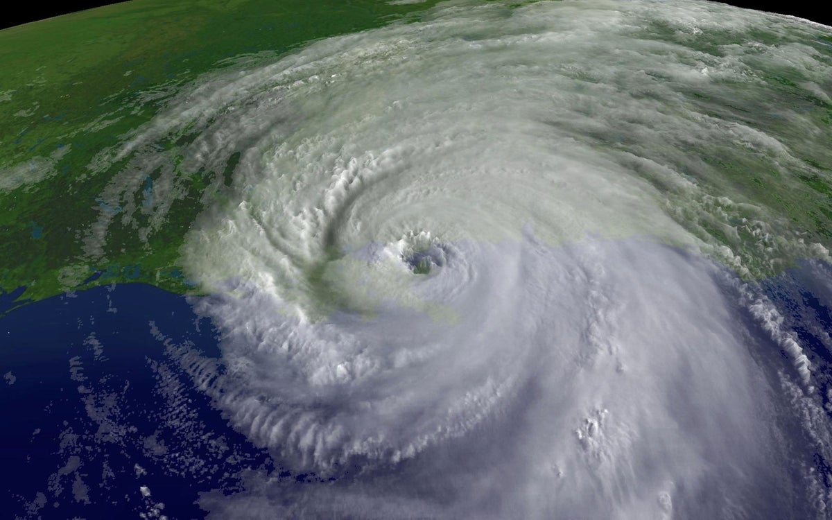
"Like many other meteorologists around the U.S. Gulf Coast on the morning of August 26, 2005, Alan Gerard was monitoring the latest computer model forecasts for Hurricane Katrinawhich had just emerged over the Gulf of Mexico after striking South Florida as a Category 1 storm. Gerard, then meteorologist in charge at the National Weather Service's (NWS's) office in Jackson, Miss., saw that the newest projections indicated that Katrina would track farther south than previous model runs had predicted."
"Just three days later, on August 29, Katrina rammed into the coast at the Louisiana-Mississippi border with a 20-mile-long wall of storm surge estimated at 24 to 28 feet high. (The exact heights that the surge reached aren't known because most of the gauges, buildings and other structures that would provide evidence of a high-water mark were obliterated.) In the subsequent hours, the levees around New Orleans failed, releasing torrents of water into the city."
On August 26, 2005, meteorologist Alan Gerard observed new computer model runs showing Hurricane Katrina tracking farther south, increasing its time over warm water and potential for strengthening while shifting toward Mississippi. Gerard emailed Mississippi emergency management urging immediate preparations several hours before the official forecast update. Three days later, on August 29, Katrina made landfall at the Louisiana-Mississippi border with a 20-mile-long storm surge estimated at 24 to 28 feet, obliterating gauges and structures. Subsequent levee failures around New Orleans released torrents of water into the city, producing catastrophic flooding and making Katrina the deadliest U.S. storm in nearly 80 years.
Read at www.scientificamerican.com
Unable to calculate read time
Collection
[
|
...
]