"Parts of the state are forecasted to experience moderate to major coastal flooding, instances of inland flash flooding, sustained winds of up to 60 mph, localized precipitation of up to five inches, and very high surf potentially causing significant beach erosion and dune breaching,"
"It's really bad, and we want you to take it seriously,"
"This is not quite Sandy, but this is probably the closest thing that we've had since because of the high tides and anticipated rains up to 3-4 inches,"
"Our concern is obviously four high-tide cycles. Two on Sunday and two on Monday. That'll be most concerning to us because that will put pressure on back bays and rivers here,"
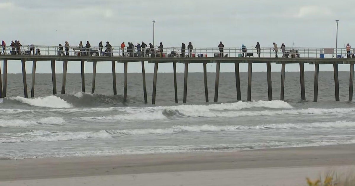
A nor'easter is expected to form Sunday into Monday and impact the Jersey Shore and Philadelphia region with several inches of rain, high surf, and strong winds. Forecasts indicate localized precipitation up to five inches, sustained winds up to 60 mph, and waves as high as 15 to 20 feet that could cause significant beach erosion and dune breaching. New Jersey declared a State of Emergency beginning 10 p.m. Saturday. Shore towns prepared with sandbags, cleared beaches, high-water vehicles, and vehicle relocation. Low-lying areas face possible evacuations across four high-tide cycles that will pressure back bays and rivers.
Read at Cbsnews
Unable to calculate read time
Collection
[
|
...
]