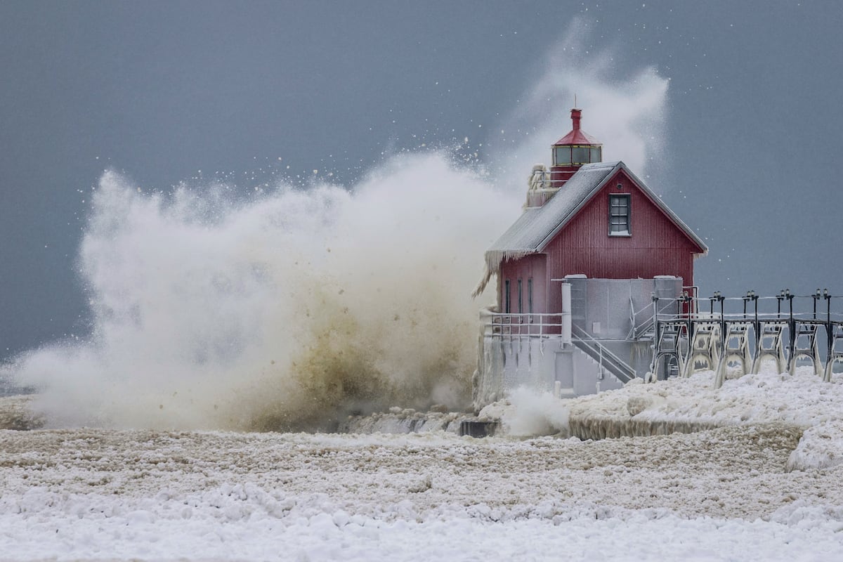
"Trajectory and impact The storm will begin to develop on Friday in the Southwest and Southern Plains before moving toward the Mississippi Valley, Southeast, and Mid-Atlantic over the weekend. Cities such as Dallas, Oklahoma City, Little Rock, Nashville, Atlanta, Charlotte, Washington, D.C., Philadelphia, New York, and Boston are within the impact zone. In many of these places, the system will be accompanied by temperatures so low that snow and ice will not melt for days."
"One of the biggest areas of concern is the south of the country, where the combination of freezing rain and frigid air could cause severe ice storms. In states like Texas, Arkansas, Louisiana, Georgia, North Carolina, and South Carolina, forecasts predict accumulations of up to half a centimeter of ice enough to bring down trees, collapse power lines, and make roads and streets impassable. In these areas, authorities fear prolonged power outages and a limited response from emergency services."
A massive winter storm will move coast to coast beginning Friday, stretching more than 2,000 miles and affecting over 30 states from the Southwest to the East Coast. At peak, more than half of the U.S. population could simultaneously experience snow, sleet, or freezing rain. The system will combine heavy snowfall, significant ice accumulation, and a mass of Arctic air that will produce extreme cold for several days. The storm may halt transportation, cause prolonged power outages, and pose serious risks, especially in regions unaccustomed to winter hazards. Southern states face severe ice storms with potential tree damage and collapsed power lines; Texas declared a state of emergency.
Read at english.elpais.com
Unable to calculate read time
Collection
[
|
...
]