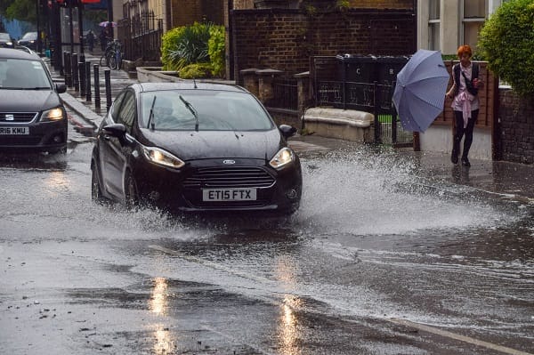
"The UK is in for an unsettled week of weather, with frequent spells of heavy rain and at times strong, gusty winds. Given recent wet weather and saturated ground in places, this could lead to some flooding. Difficult travelling conditions are also expected, with delays and the increased possibility of accidents. There will be spells of drier and brighter weather at times, and temperatures will begin to fall closer to average for the time of year from the north."
"In southern Wales, 60-80mm could accumulate over south facing hills and 30-50mm more widely across the warning area through the day, accompanied by strong southerly winds. In Devon and Cornwall, heavy rain will also be accompanied by the strong southerly winds. Accumulations of 20-40mm are expected quite widely, with up to 70mm building up in the wettest spots, these most likely but not exclusively, on the south facing slopes of the moors."
Yellow rain warnings are in place for southwest Scotland, southern Wales and southwest England on Tuesday as bands of rain move in from the southwest. Southern Wales could see 60–80mm on south-facing hills and 30–50mm more widely; Devon and Cornwall may see 20–40mm widely and up to 70mm in the wettest spots, with strong southerly winds. Southwestern Scotland could receive 20–40mm widely, with some locations exceeding 60mm. Recent wet conditions and saturated ground increase flood risk and hazardous travel, including delays and accidents. Cooler air from the north will bring temperatures closer to seasonal averages and freezing nights in Scotland with mountain snow possible.
Read at London Business News | Londonlovesbusiness.com
Unable to calculate read time
Collection
[
|
...
]