"From Jan. 30 through Feb. 10 expect significant traffic impacts on major roadways in San Francisco, including Howard Street, 4th Street, and Mission Street. 24-Hour Street Closures: Full vehicle restrictions in high-security zones. Transit & Bicycle Detours: Updated routes for SFMTA (Muni) and cyclists. Local Access Only: Specified lanes for residents and business deliveries. For the latest emergency alerts and traffic updates in San Francisco, text SuperBowlSF to 888-777 to join AlertSF or head to SFMTA's website."
"City officials say the closures will happen in three phases and the first one started on Jan. 5. Phase 1 (Jan. 5 - Feb. 22)Stars and Stripes Drive will be closed to public traffic, including the ramp from Tasman Drive and the bike path along the corridor. Shuttles, parking and rideshare pickup/drop-off associated with the Great America Rail Station will be relocated to the east (Tasman East Area) for the duration of the closure."
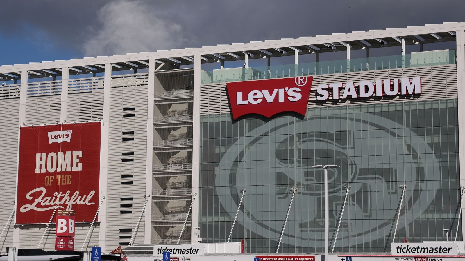
Significant traffic impacts will affect San Francisco from Jan. 30 through Feb. 10, with closures on Howard Street, 4th Street, and Mission Street, 24-hour security closures, transit and bicycle detours, and lanes limited to local access for residents and deliveries. Santa Clara implemented phased closures near Levi's Stadium: Phase 1 (Jan. 5–Feb. 22) closes Stars and Stripes Drive and a bike path; Phase 2 (Jan. 28–Feb. 10) closes Tasman Drive segment and the San Tomas Aquino Creek Trail; Phase 3 (Feb. 8) closes Great America Parkway and nearby streets. Real-time updates are available via AlertSF and SFMTA.
Read at ABC7 San Francisco
Unable to calculate read time
Collection
[
|
...
]