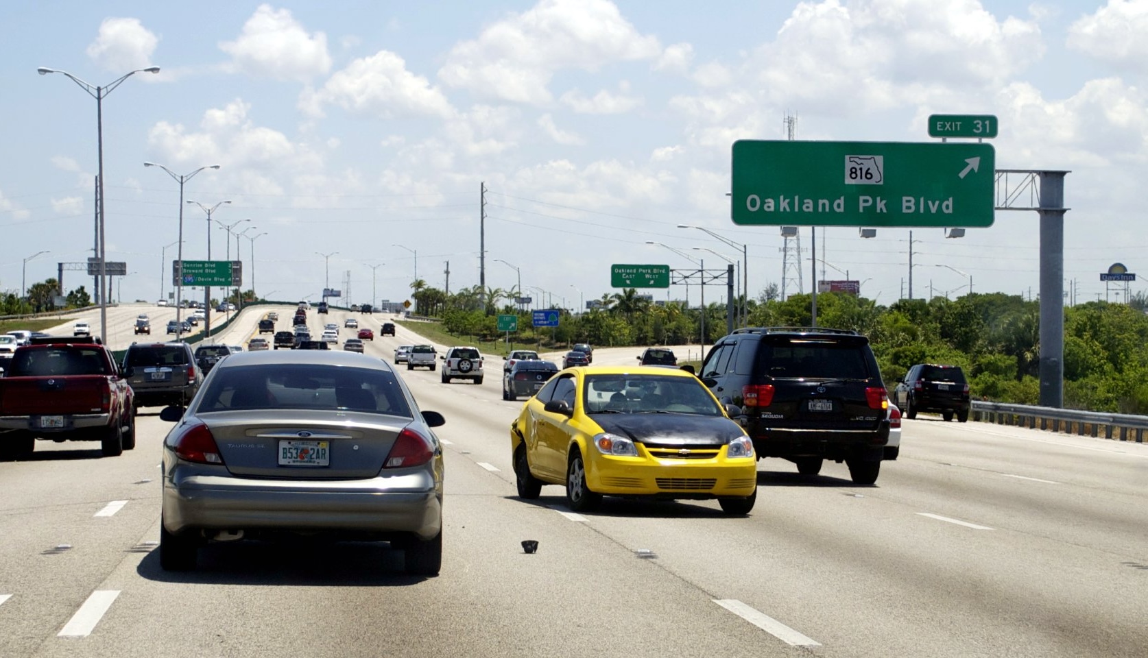
"Vehicle miles traveled exposure tends to be high, and there is also heavy speed risk on pedestrian heavy roadways, which may be linked to wider arterials and higher-speed corridors. Apart from a handful of exceptions, like Tucson and Indianapolis, the map's stark pattern also tracks the relative ages of the anchor cities."
"Most of the safest metros developed before the invention of the automobile in 1885, while nearly all of the more dangerous metros developed after it. The interlocking policies of suburban sprawl and car-centric street design turned Sunbelt cities into pedestrian thunderdomes."
"StreetLight's analysis reveals a dramatic contrast between coastal and northern cities and nearly all of the Sunbelt because of several challenges identified by the firm, not the least of which is how much driving is done in car-centric cities."
The U.S. Safe Streets Index ranked the 100 largest metropolitan areas by safety metrics, revealing stark regional disparities. New York City ranked first while Bakersfield, California ranked last, with most Sunbelt cities clustered toward the bottom. The analysis identifies car-centric infrastructure, high vehicle miles traveled, excessive speeds on pedestrian-heavy roads, and wider arterials as primary safety challenges in southern cities. Most safe metros developed before 1885 when automobiles were invented, while dangerous metros developed afterward. Suburban sprawl and car-dependent street design policies have created hazardous conditions for pedestrians and cyclists in Sunbelt regions, with few exceptions like Tucson and Indianapolis.
Read at Streetsblog
Unable to calculate read time
Collection
[
|
...
]