"ESA's Biomass satellite captures its first images of Earth’s forests, revealing insights into carbon storage crucial for climate change monitoring."
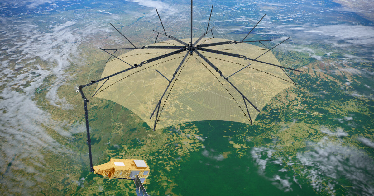
"The Biomass satellite utilizes P-band synthetic aperture radar to penetrate tree canopies, measuring forest structure for scientific analysis."
"These initial images, unveiled at the Living Planet Symposium, mark a significant advancement in understanding Earth's changing forests and their role in the carbon cycle."
"The satellite's first image showcases Bolivia's forest, emphasizing its deforestation impact, with the radar capable of detailed landscape visualization."
The European Space Agency's Biomass satellite has successfully captured its first aerial images of the Earth's forests using advanced P-band synthetic aperture radar. This technology allows it to penetrate tree canopies and analyze woody structures, providing critical data on carbon storage vital for climate change monitoring. The satellite was unveiled at the Living Planet Symposium, highlighting its role in assessing the global carbon cycle and forest changes. While still in calibration, its initial imagery includes a detailed view of Bolivia's deforested landscapes, showcasing the impact of agriculture on primary forests.
Read at designboom | architecture & design magazine
Unable to calculate read time
Collection
[
|
...
]