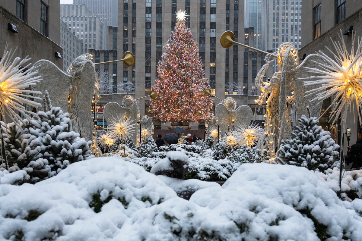
"Dreaming of a white Christmas or not, the chances of actually seeing snow on December 25 come down to both the prevailing climate wherever you live and the weather leading up to and on the day. For some of us in the U.S., it's a lock; for others, the odds are sadly slim. And in many places, they are getting slimmer as global temperatures rise and winter weather gets wetter."
"Some places in the U.S. where one can be fairly certain to see at least an inch of snow on the ground on Christmas Day are about what you'd expectthe higher elevations in the Rocky Mountains, for example, and the northernmost stretches of the upper Midwest and the Northeast, according to National Oceanic and Atmospheric data from 19912020. Beyond these regions, a broad swath of Utah, Nebraska, Wisconsin and the Northeast has roughly 5050 odds of snow on the ground when Santa comes to town."
"As atmospheric scientist Colin Zarzycki of Pennsylvania State University puts it, If stuff's going to fall out of the sky on December 24, if it's warmer, it's more likely to fall as rain."
Snow presence on December 25 depends on both the local climate and the specific weather before and on the day. Higher elevations in the Rocky Mountains and the northernmost upper Midwest and Northeast commonly have at least an inch of snow on Christmas, according to NOAA 1991–2020 data. A broad swath of Utah, Nebraska, Wisconsin and the Northeast has roughly fifty-fifty odds. Southern states such as Kansas, Kentucky and Virginia have low odds. Warmer winters shift precipitation from snow to rain when temperatures are above freezing. The first snow is occurring later and the window for snow is narrowing as the planet warms.
Read at www.scientificamerican.com
Unable to calculate read time
Collection
[
|
...
]