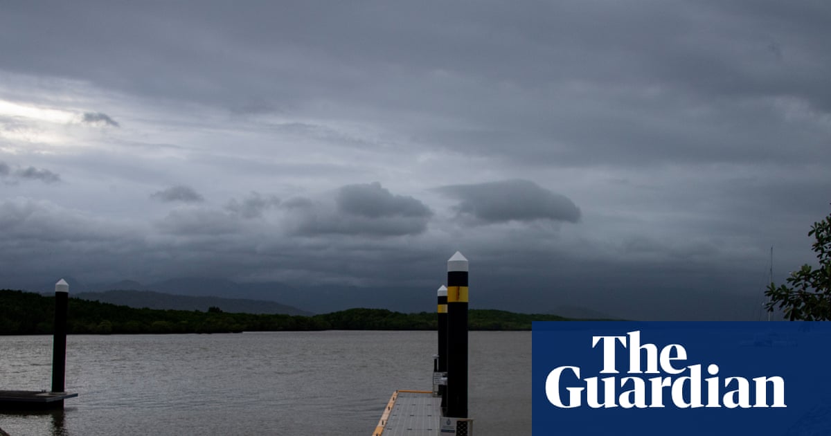
"Severe Tropical Cyclone Narelle was poised to make landfall in far north Queensland on Friday morning, likely as a high-end category four system but still posing a severe threat to several remote communities. Locals took shelter early in the morning as the winds began to pick up ahead of forecast winds over 250km/h."
"Authorities were warning of combined threats from strong winds, heavy rain, flooding from already-swollen river systems and storm surge in coastal areas, as the cyclone arrives close to a high tide. Sustained winds of 195km/h have been measured at the centre of the cyclone, with gusts up to 270km/h."
"Climate experts said Narelle was likely fuelled by climate change, with the system moving west over the Coral Sea where sea surface temperatures have been at record highs in recent months. Higher ocean temperatures provide more fuel for cyclones, increasing their intensity."
Severe Tropical Cyclone Narelle made landfall in far north Queensland on Friday morning between Lockhart River and Cape Melville as a high-end category four system. Sustained winds of 195km/h with gusts up to 270km/h were measured at the cyclone's centre. The system posed multiple threats including strong winds, heavy rain, flooding from swollen river systems, and storm surge coinciding with high tide. The town of Coen, with approximately 320 residents, was directly in the cyclone's path. Climate experts attributed Narelle's intensity to record-high sea surface temperatures in the Coral Sea, fuelled by climate change, which increases cyclone intensity, coastal inundation, and rainfall potential.
#tropical-cyclone-narelle #queensland-landfall #climate-change-impact #extreme-weather #natural-disaster
Read at www.theguardian.com
Unable to calculate read time
Collection
[
|
...
]