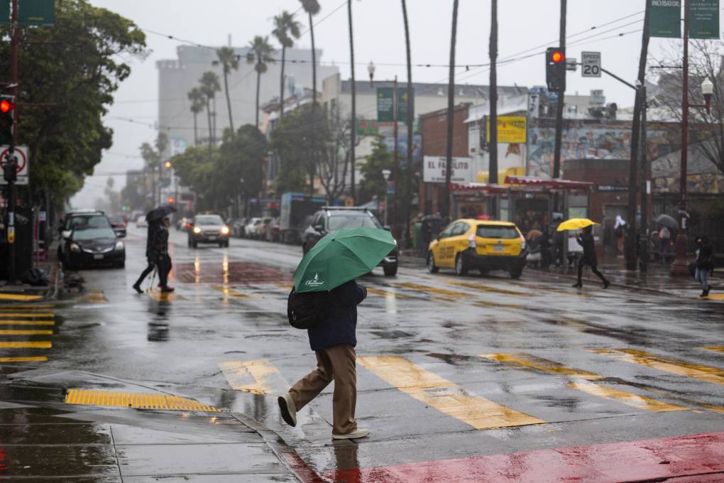
"Weather experts measure the intensity of atmospheric rivers on a scale from 0 to 5. This week's storm could reach as high as a 5 in the Guerneville area before decreasing to a 4 over Marin County and then to a 3 for the San Francisco area, according to the atmospheric river scale modeling by the Center for Western Weather and Water Extremes at UC San Diego's Scripps Institution of Oceanography."
"The warm storm will push snow levels in the Sierra Nevada to above 7,500 feet, resulting in the bulk of the snowfall at higher elevations. Lassen National Park and the highest peaks of the Sierra could see some snowfall, and snow levels could dip below 7,000 feet on Wednesday night if temperatures fall. Wet and slick roads will be the main concerns for the mountains, Sacramento-based forecasters wrote in the weather service's daily forecast discussion for inland Northern California."
The warm storm will lift Sierra snow levels above 7,500 feet, concentrating the bulk of snowfall at higher elevations. Lassen National Park and the highest Sierra peaks could receive some snow, with snow levels possibly dipping below 7,000 feet Wednesday night if temperatures fall. Wet and slick mountain roads will be the primary hazard. Atmospheric river intensity is measured on a 0–5 scale; modeling indicates this storm could reach a 5 in Guerneville, then weaken to a 4 over Marin County and a 3 for San Francisco. Atmospheric rivers that stall can cause river rises and dangerous flooding, but current guidance shows no signs of stalling and no flood watches are in effect.
Read at Kqed
Unable to calculate read time
Collection
[
|
...
]