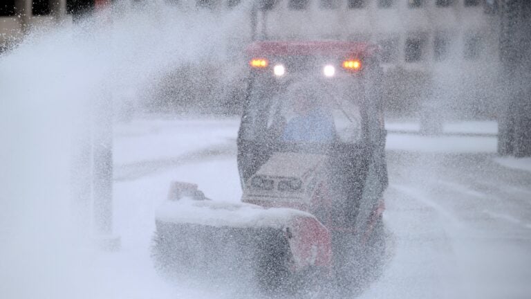
"By the time Sunday afternoon rolled around, most meteorologists were aware that this weather system was going to be generally a rainstorm for Greater Boston, with a rain-snow line far to the west across the Interstate 495 belt and points north. Snowfall, according to the forecasts, would be particularly heavy over northern Worcester and Middlesex counties and into Vermont, New Hampshire, and Maine."
"Meteorologists rely heavily on computer-generated models to make their forecasts. But these models must be interpreted; otherwise, a forecaster's prediction can be way off. As early as Monday morning, some of those weather models were predicting a foot of snow for Boston! If meteorologists had gone with the snowfall maps that the models had put out at the time, they would have really busted the forecast."
Most meteorologists recognized by Sunday afternoon that the system would be a rainstorm for Greater Boston, with the rain-snow line well west of Interstate 495. Forecasts anticipated heavier snowfall over northern Worcester and Middlesex counties and extending into Vermont, New Hampshire, and Maine. Storms do not always follow forecasts and can deliver amounts earlier, later, or differently than expected. Forecasters rely on computer-generated models that require human interpretation to avoid large errors. Early model runs predicted a foot of snow for Boston, which would have been incorrect if followed literally. Human judgment remains important even as models improve.
Read at Boston.com
Unable to calculate read time
Collection
[
|
...
]