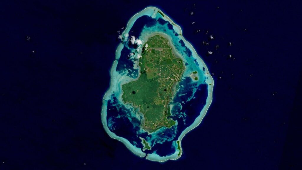
"Microsoft is making NASA's satellite data accessible via Azure. The Harmonized Landsat and Sentinel-2 dataset is now available via Microsoft's Planetary Computer platform. Researchers can use it to analyze billions of Earth observation images for climate, agriculture, and water research. Harmonizing different satellite systems enables scientists to better analyze land-use changes, vegetation health, and water resources. Users can access the data directly via APIs or work via Azure Storage."
"Microsoft's Planetary Computer provides access to a multi-petabyte catalog of global environmental data. The NASA HLS dataset combines images from the Landsat-8/9 and Sentinel-2A/B satellites, providing a seamless, high-resolution view of our planet. The dataset was developed based on needs identified by the US Satellite Needs Working Group. This collaboration between NASA and Microsoft represents a significant step forward in the accessibility of climate data."
"NASA IMPACT and Microsoft jointly developed a prototype of NASA Earth Copilot. This AI assistant helps scientists and policymakers discover geospatial data through natural language. Instead of complex queries, users can ask simple questions. Examples include "What was the impact of Hurricane Ian on Sanibel Island?" or "How did the COVID-19 pandemic affect air quality in the US?" The AI retrieves relevant datasets, making the process more intuitive."
Microsoft's Planetary Computer on Azure provides access to a multi-petabyte catalog including the Harmonized Landsat and Sentinel-2 (HLS) dataset, which merges Landsat-8/9 and Sentinel-2A/B imagery into a seamless, high-resolution global view. The HLS dataset harmonizes different satellite systems to enable analysis of land-use change, vegetation health, and water resources across billions of Earth observation images. Users can access data via APIs or Azure Storage and leverage Azure AI, machine learning, and high-performance computing to build applications such as automated land cover classification and vegetation monitoring. NASA IMPACT and Microsoft developed an AI Earth Copilot prototype that retrieves geospatial datasets through natural language queries, simplifying data discovery for researchers, policymakers, and educators.
#harmonized-landsat-sentinel-2 #planetary-computer #satellite-imagery #ai-assisted-geospatial-analysis
Read at Techzine Global
Unable to calculate read time
Collection
[
|
...
]