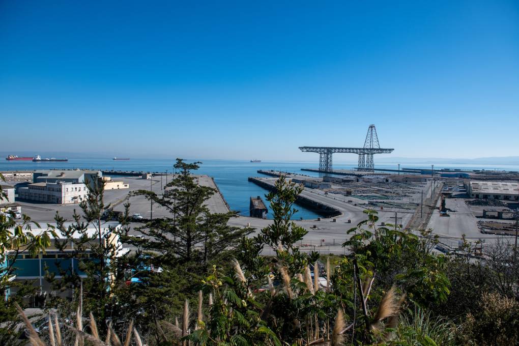
Sea level rise could flood 249 hazardous sites across the Bay Area, including power plants, sewage treatment facilities, fossil fuel ports, and radioactively contaminated locations. Worst-case projections show more than a foot of bay rise by 2050 and over six feet by the end of the century. Seven states account for almost 80% of at-risk hazardous sites nationally, with California containing 471 such locations under unchecked climate change. Contaminated sites include Hunters Point Naval Shipyard, where radioactive chemicals, heavy metals and petroleum fouled soil, groundwater, surface water and bay sediment. At-risk neighborhoods have higher proportions of renters, households in poverty, Hispanic residents, linguistically isolated households, households without vehicles, seniors, and non-voters.
"Power plants. Sewage treatment facilities. Fossil fuel ports. Radioactively contaminated sites. These are just a few of the 249 hazardous sites across the Bay Area that could flood as seas rise in the coming decades in the worst-case scenario, according to a new report published Thursday in the journal Nature Communications. "The motivation for the study is that sea level rise is rising quickly, often more than projected, and is anticipated to more than double by 2050 worldwide,""
"The new count includes some of the region's most contaminated sites, like the defunct Hunters Point Naval Shipyard. The U.S. Navy polluted the shipyard soil and groundwater with radioactive chemicals, heavy metals and petroleum fuels when it decontaminated ships, fouling the surface water and sediment in the San Francisco Bay, too. The Environmental Protection Agency declared it one of the nation's most contaminated sites in 1989."
Read at Kqed
Unable to calculate read time
Collection
[
|
...
]