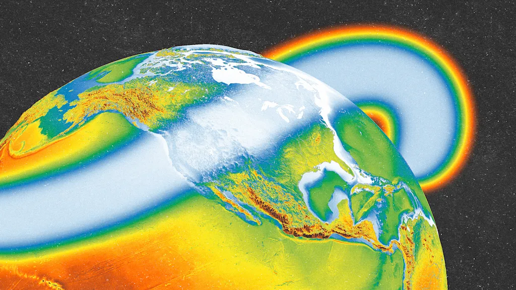
"La Niña, a climate pattern that can affect weather worldwide, has officially arrived. La Niña is fueled by colder-than-normal Pacific ocean temperatures, which then affect the pattern of the Pacific jet steam. It's the cooler counter to El Niño, which involves warmer-than-normal ocean waters. Both are part of a weather system called the El Niño-Southern Oscillation (ENSO). La Niña conditions emerged in September, the National Weather Service's Climate Prediction Center said on Thursday. They're expected to continue through the end of the year, and potentially until February 2026."
"During La Niña, cold waters push the Pacific jet stream northward, which creates a "ripple effect" on the atmosphere. That jet stream then dips back down, dividing the U.S. That then brings dry, warmer-than-usual conditions to southern states. Northern states see colder-than-normal temperatures and wetter conditions, particularly in the Pacific Northwest. La Niña winters tend to bring a lot of snow to the Pacific Northwest, and even across the Great Lakes and into New England. Southern states, by contrast, tend to see below-average snowfalls."
La Niña arises from colder-than-normal Pacific ocean temperatures that alter the Pacific jet stream and are the cool phase of the El Niño-Southern Oscillation (ENSO). Conditions emerged in September and are expected to continue through the end of the year and possibly until February 2026, according to the National Weather Service's Climate Prediction Center. Forecasts indicate the event will remain weak but still influence seasonal weather patterns. The shifted jet stream typically pushes warmer, drier conditions into southern U.S. states while bringing colder, wetter conditions and increased snowfall to the Pacific Northwest, Great Lakes, and New England. La Niña can also increase Atlantic hurricane activity.
Read at Fast Company
Unable to calculate read time
Collection
[
|
...
]