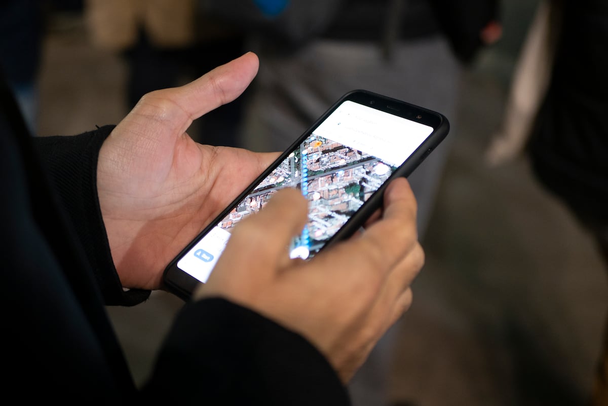
"Google Maps features a Live View augmented reality tool, aiding pedestrians, cyclists, and public transport users by overlaying navigation directions on real-world environments."
"Personalized route preferences include avoiding steep hills or accessing wheelchair-friendly paths, enhancing the user experience for various needs."
"Real-time location sharing increases safety when walking alone in unfamiliar areas, allowing users to keep contacts informed of their whereabouts."
"For cyclists, Google Maps prioritizes bike lanes and quiet streets while indicating the gradient of routes to prevent surprises from inclines."
Google Maps offers a Live View feature utilizing augmented reality to assist pedestrians and cyclists in navigation. Alongside this, users can customize routes by avoiding steep gradients or selecting wheelchair-accessible options. The app allows real-time location sharing for enhanced safety when navigating unknown areas. Cyclists benefit from suggested routes that prioritize bike lanes and quiet streets, with gradient information to help manage inclines. These features collectively enhance the overall navigation experience by tailoring it to individual user needs.
Read at english.elpais.com
Unable to calculate read time
Collection
[
|
...
]