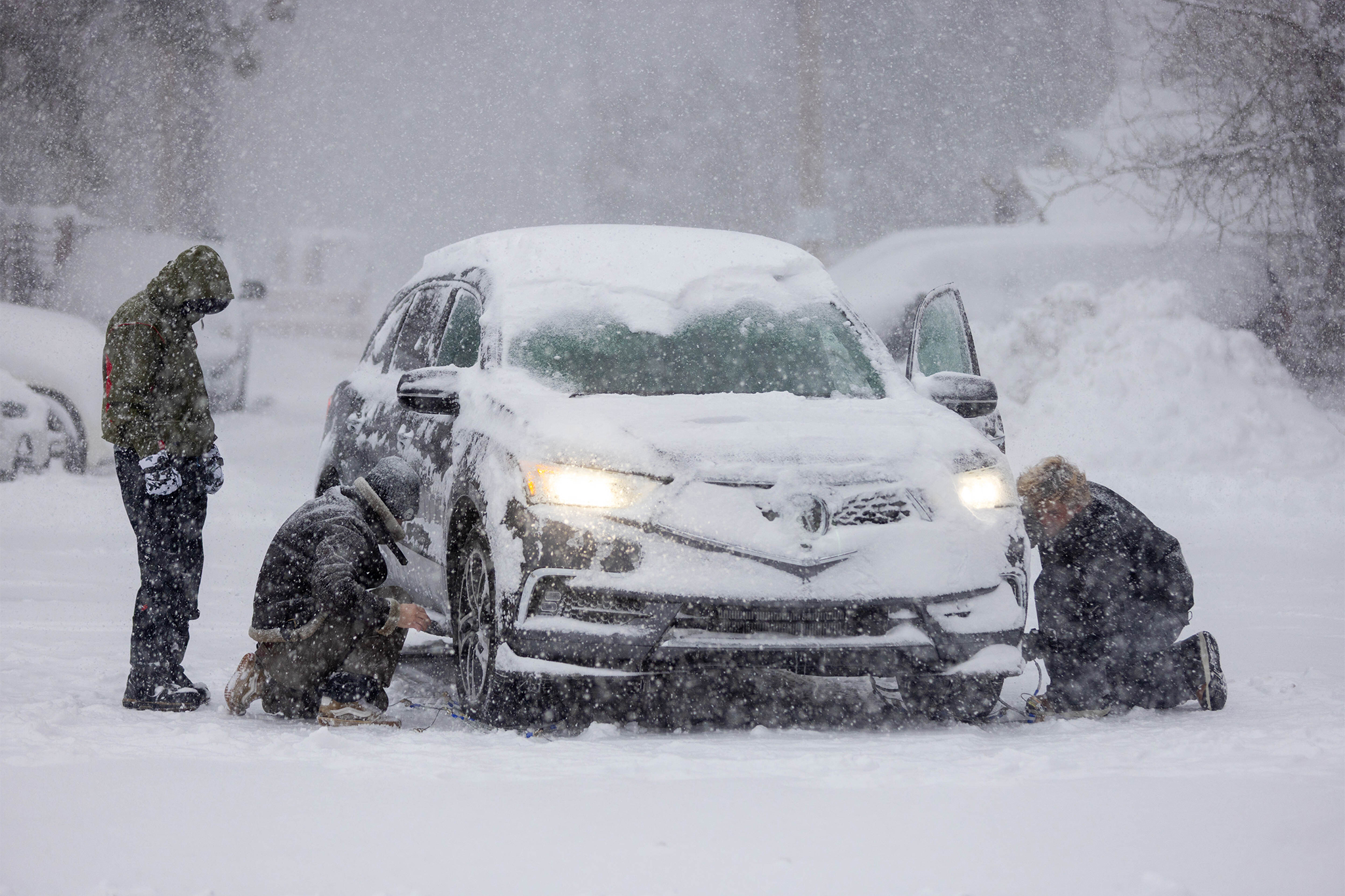
Interstate 80 through the Sierra Nevada was closed from Colfax to the Nevada state line due to whiteout conditions caused by intense snowfall and high winds. Eastbound 80 faced a semitrailer restriction at Applegate because of snow and traction concerns. Motorists heading to Lake Tahoe and the Nevada state line were urged to delay travel or use alternate routes. Donner Summit experienced rapid snowfall, with 28.1 inches reported in one day and forecasts calling for another 2–3 feet. Snowfall rates could reach 3 inches per hour and ridgetop gusts above 50 mph, creating severe travel impacts and potential prolonged closures.
""It. Is. Dumping," the UC Berkeley Central Sierra Snow Lab reported on Tuesday for its 8:55 a.m. update. "We had 28.1" (71.5 cm) of #snow in the last day and we're expecting another 2-3 feet by tomorrow night." The lab added that anecdotally "the combination of low visibility, intense snowfall, and high winds have created the worst conditions since Feb 2023!""
"Forecasters noted moderate snowfall rates and unusually high snow-to-liquid ratios - roughly 12:1 at the time - meaning lighter, fluffier snow piling up quickly. Ahead of the storm, snow lab director Andrew Schwartz forecast 4 to 5 feet of accumulation at Donner Summit through late Thursday, warning that snowfall rates could reach 3 inches per hour during the heaviest bursts. Ridgetop wind gusts were expected to climb above 50 mph, conditions that can rapidly deteriorate visibility and overwhelm plow operations."
Read at SFGATE
Unable to calculate read time
Collection
[
|
...
]